From El Cid’s Frontier to the heart of the Levante. Off-road Villena to Valencia.
Part 8 of my version of the European Divide Trail
Description
This route mostly follows the The Defence of the South route which is a well marked cycle route, part of the extensive El Cid network of routes for hiking and biking.
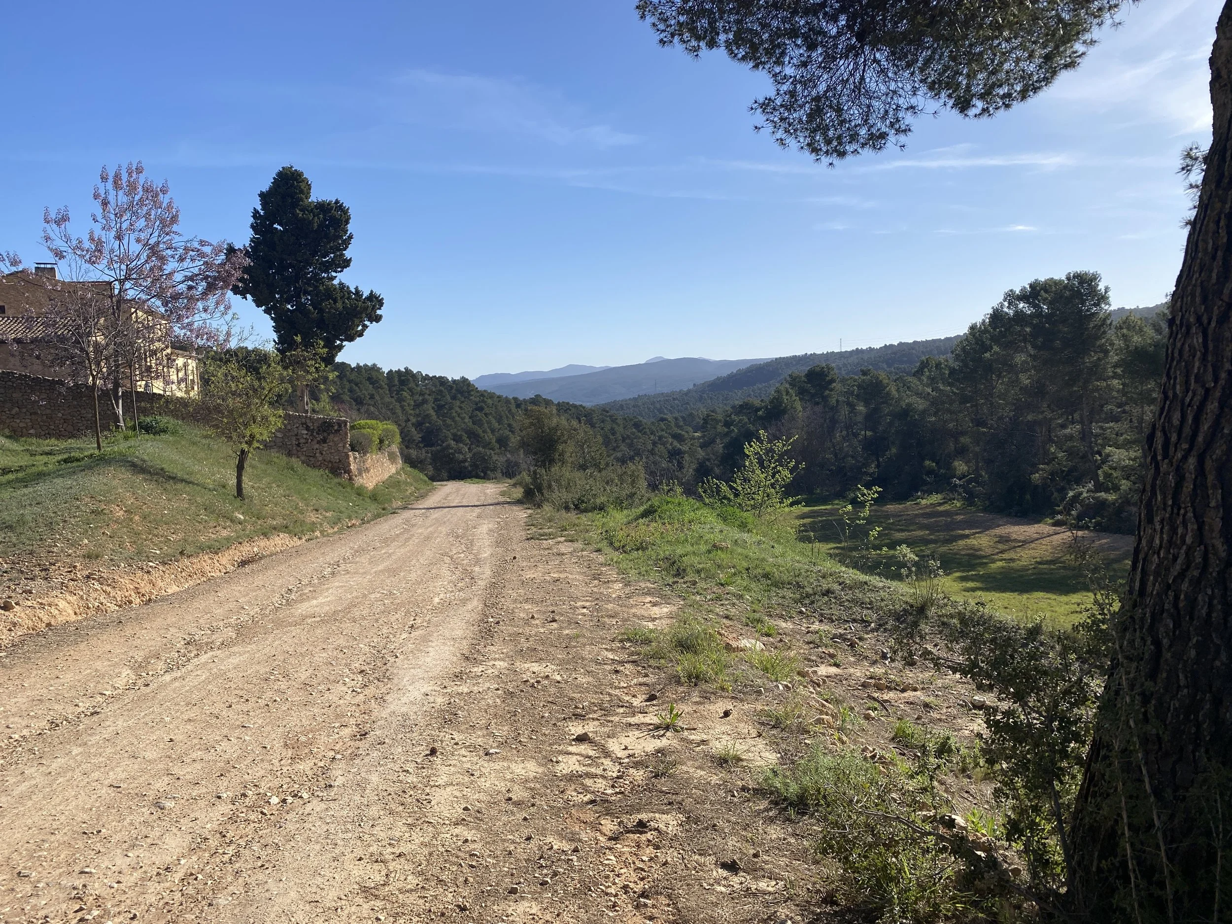
From Villena you’ll follow an old rail line to the the ancient fortress village of Biar.
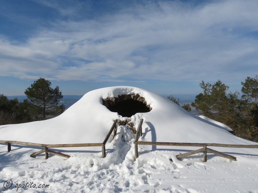
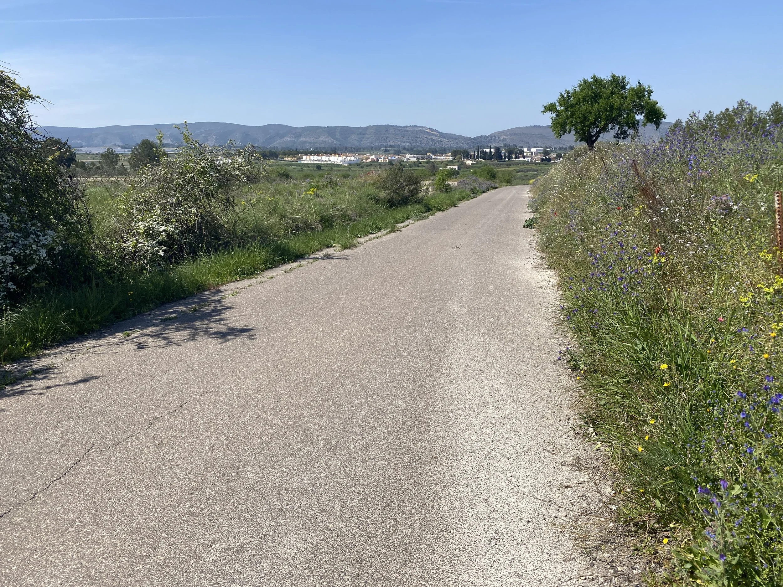
After Biar, the route takes a series of gravel roads and single track routes towards Bocairent. You’ll pass an ancient ice storage cavern on the way out of Biar (looks like a stone igloo) and there’s great views back over Biar from the pilgrimage site at the Sanctuary of Our Lady of Grace.
There’s some steep gravel double track as you climb into Serra de Mariola the which turns into a nice flowing downhill section before you cross a couple of roads and come to the single track section near a disused mill. After the tough uphill section, you’re on roads down to Bocairent.
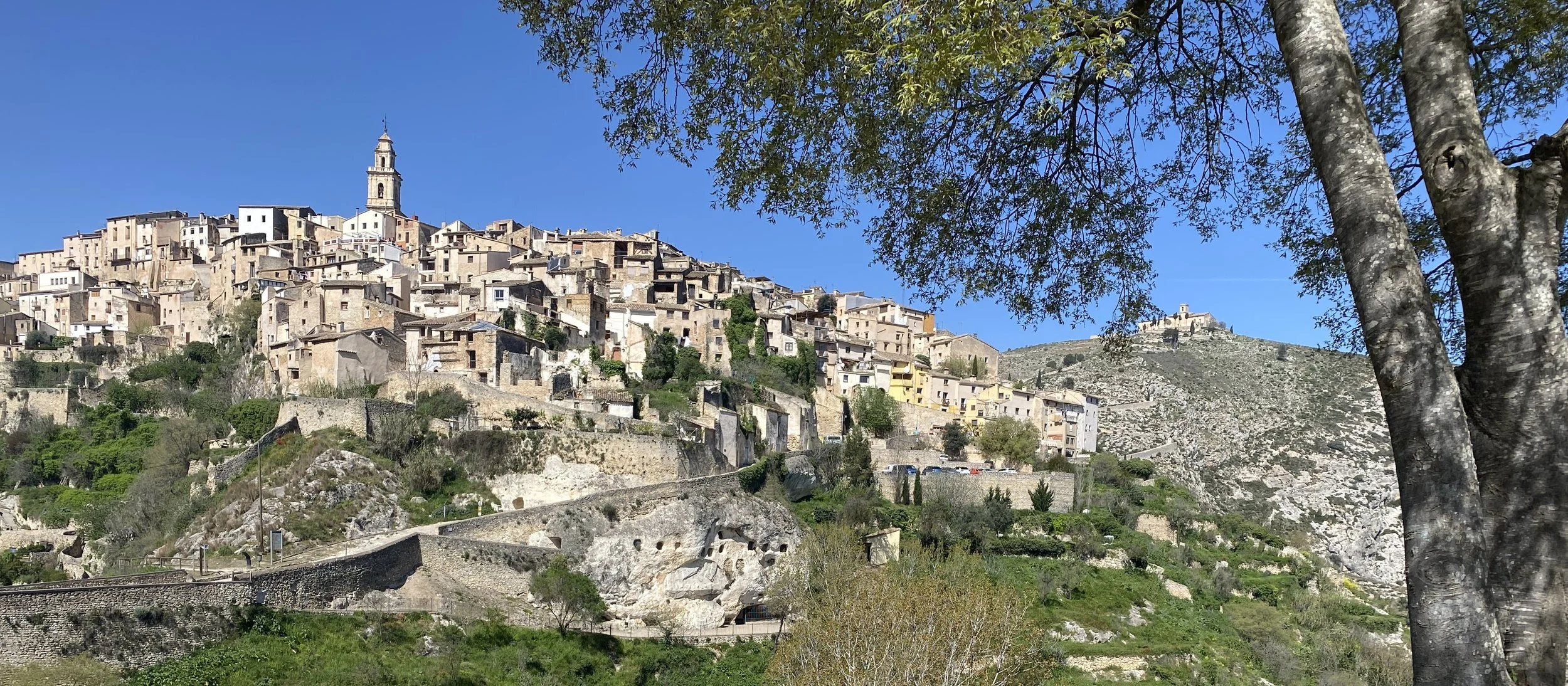
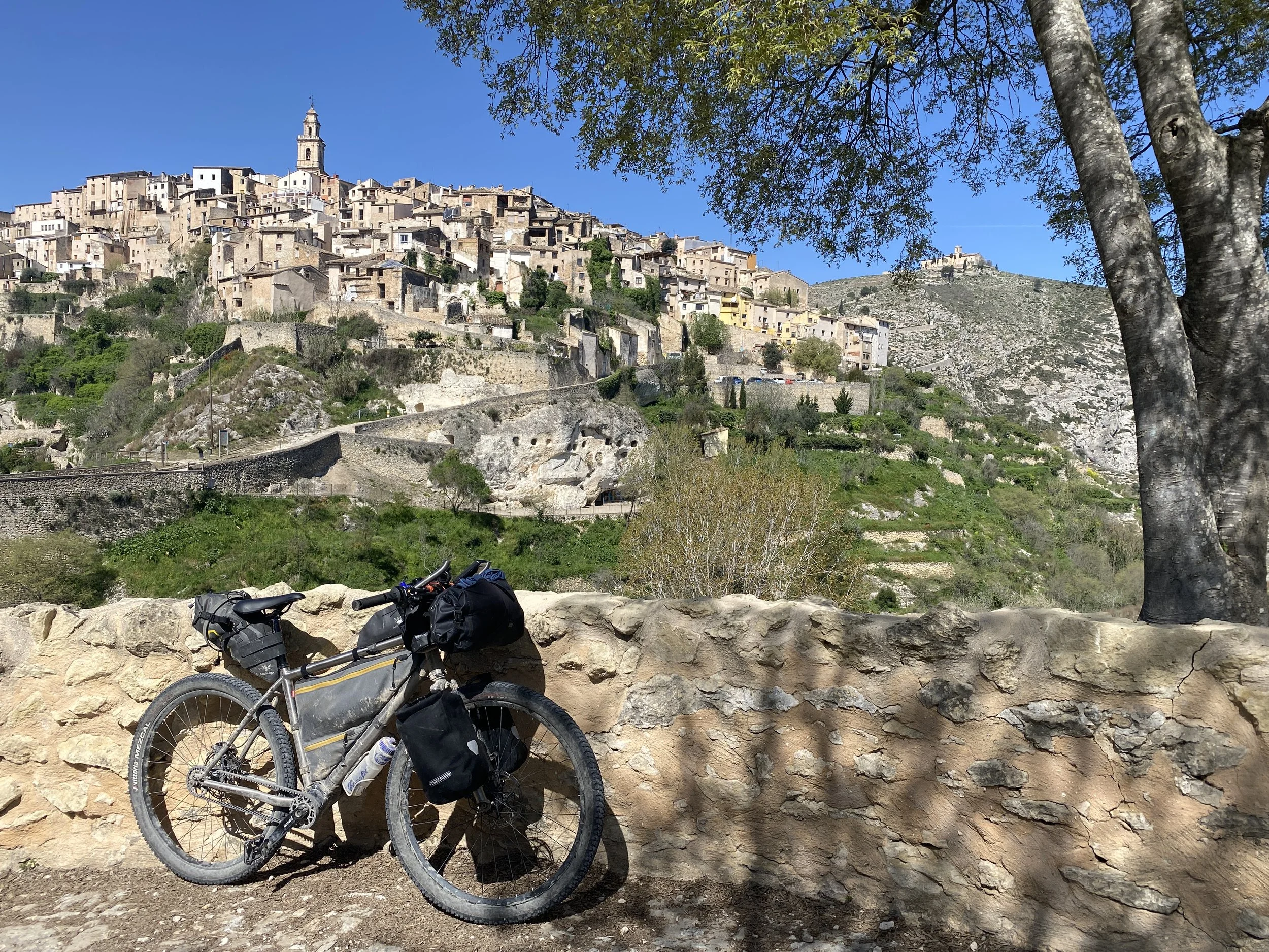
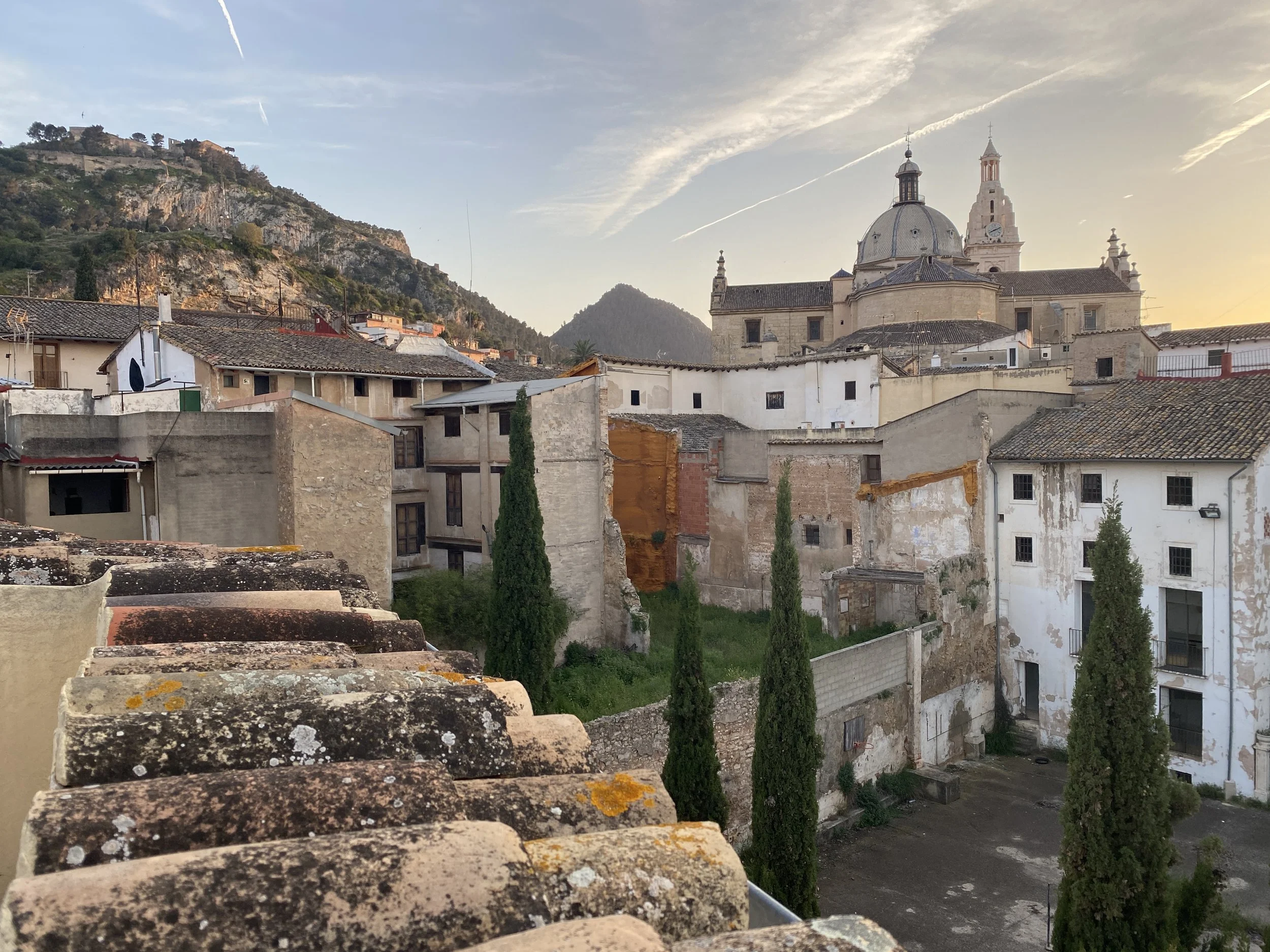
Bocairent is a real highlight, famous for being picturesque but more often associated with the ancient Berber warehouse caves carved ino the cliff face (Covetes dels Moros). There’s also another ice cavern (Cava de Sant Blai) that can be visited.
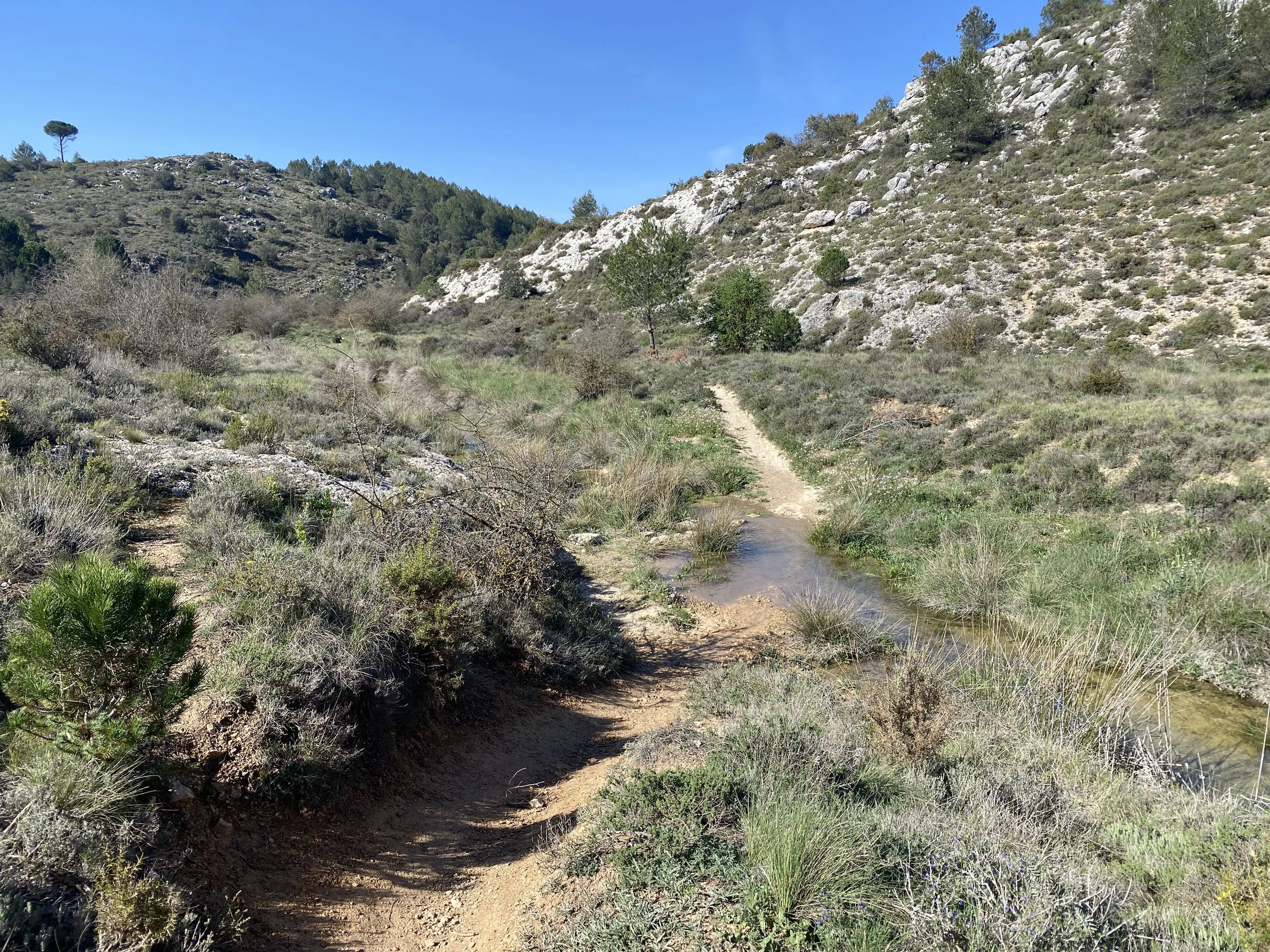
The next section is tricky. There’s a road throught the ravine to Ontinyent, but even the official guides to El Cid describe this as dangerous. So the route I’ve given here is off-road and hard. It is rocky single track upwards and then a steep loose double track to more disused mills (Molí de Lluna). The path from the mills down to the next double track is realistically a walking path and you’ll be carrying a bike in places.
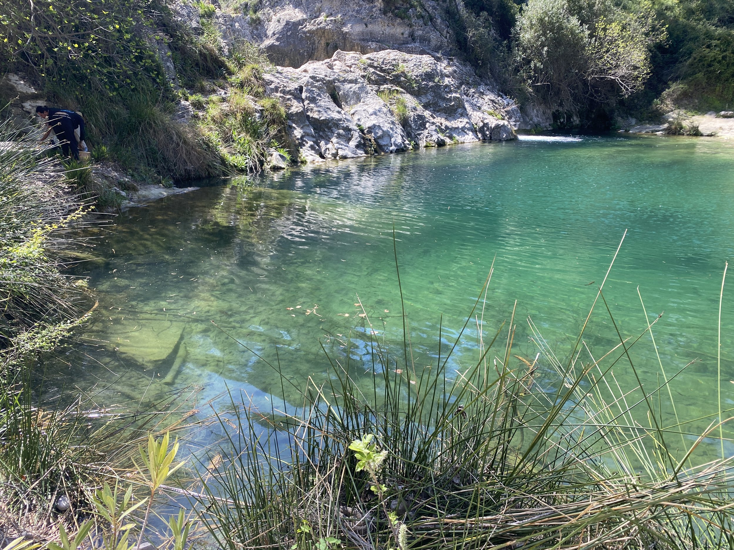
Stop at the swimming pools of Pou Clar and then enjoy the short quiet back roads/cycleways to Ontinyent.
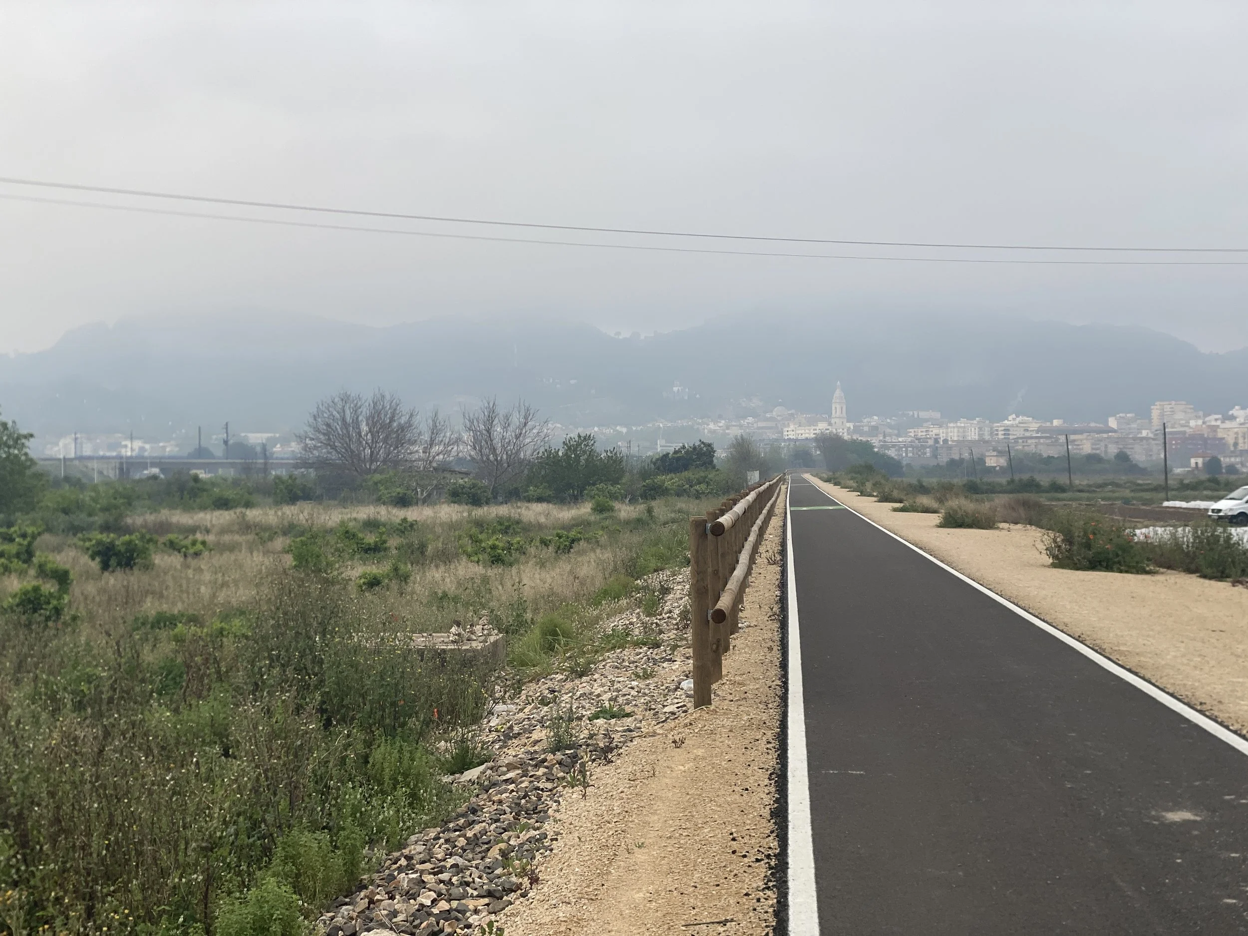
From Ontinyent it is more quiet roads & gravel all the way to the river near before Xàtiva, where you start again on gravel paths into town.
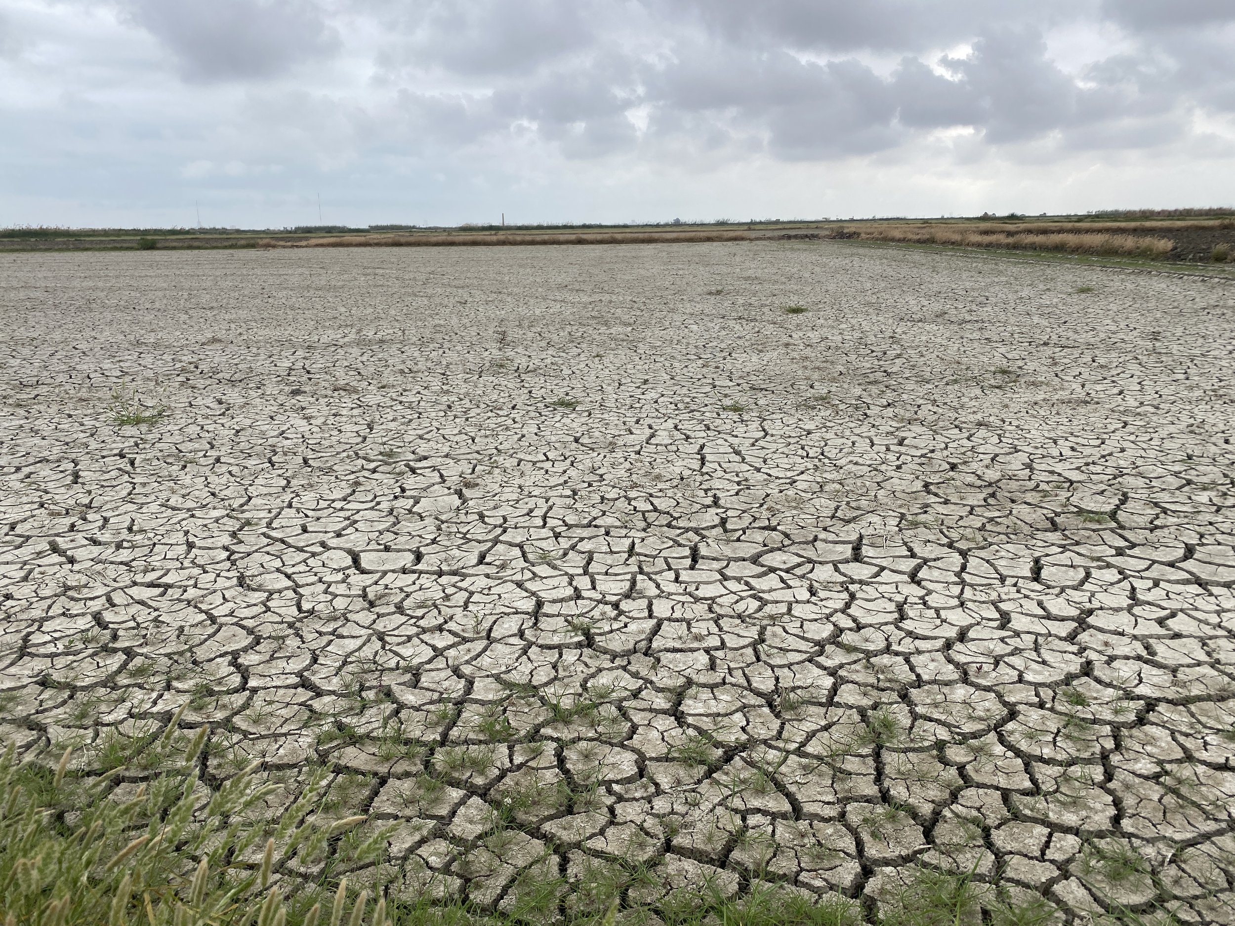
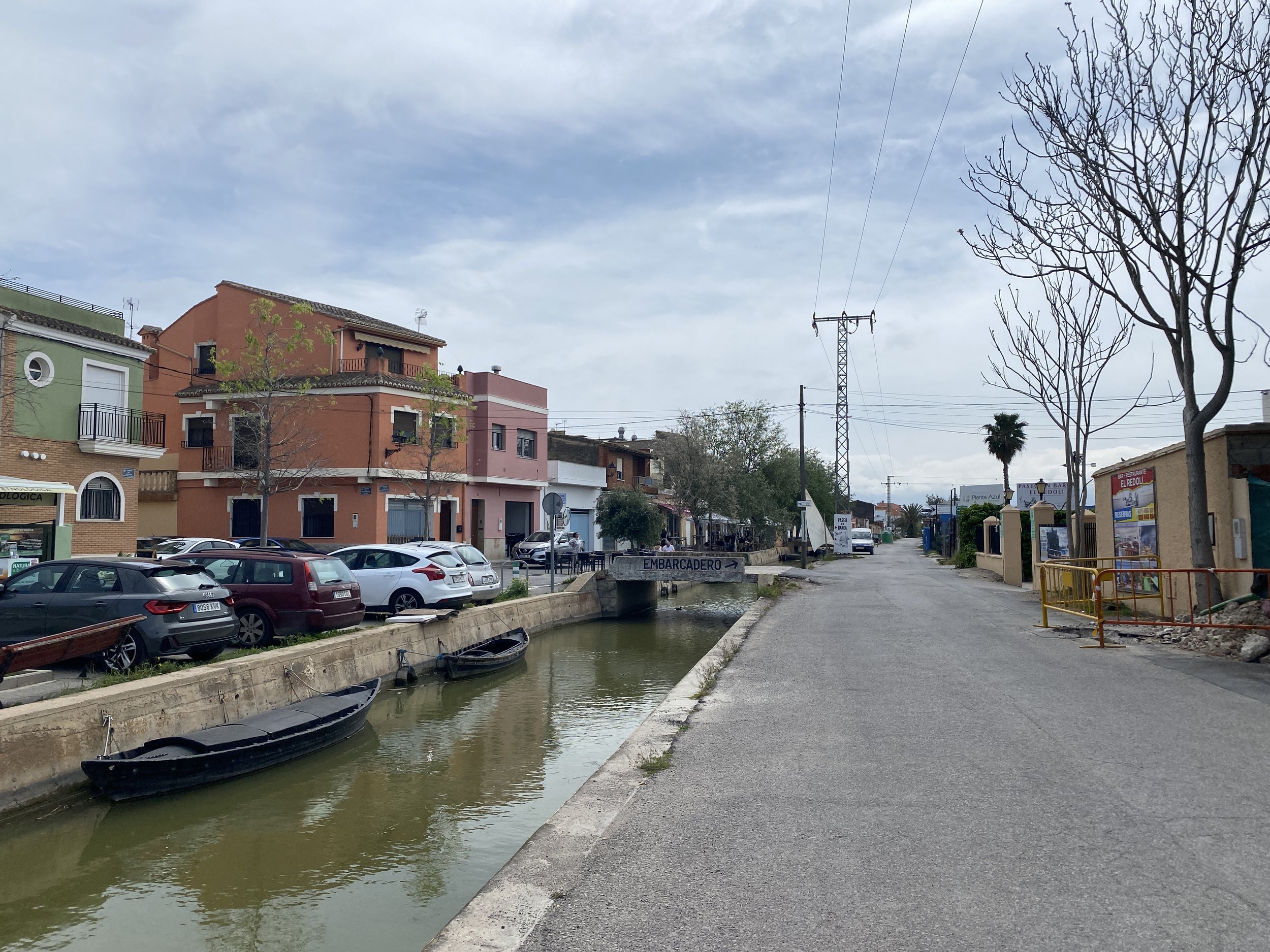
You’ll leave Xàtiva on cycleways and quiet roads passing through bustling towns such as Carcaixent, Alzira, Algemesí, and Almussafes (I came across markets in two of them) on the way to the Albufera Natural Park. The Albufera is famous for its rice paddies and allegedly the home of paella. For that take a stop in El Palmar.
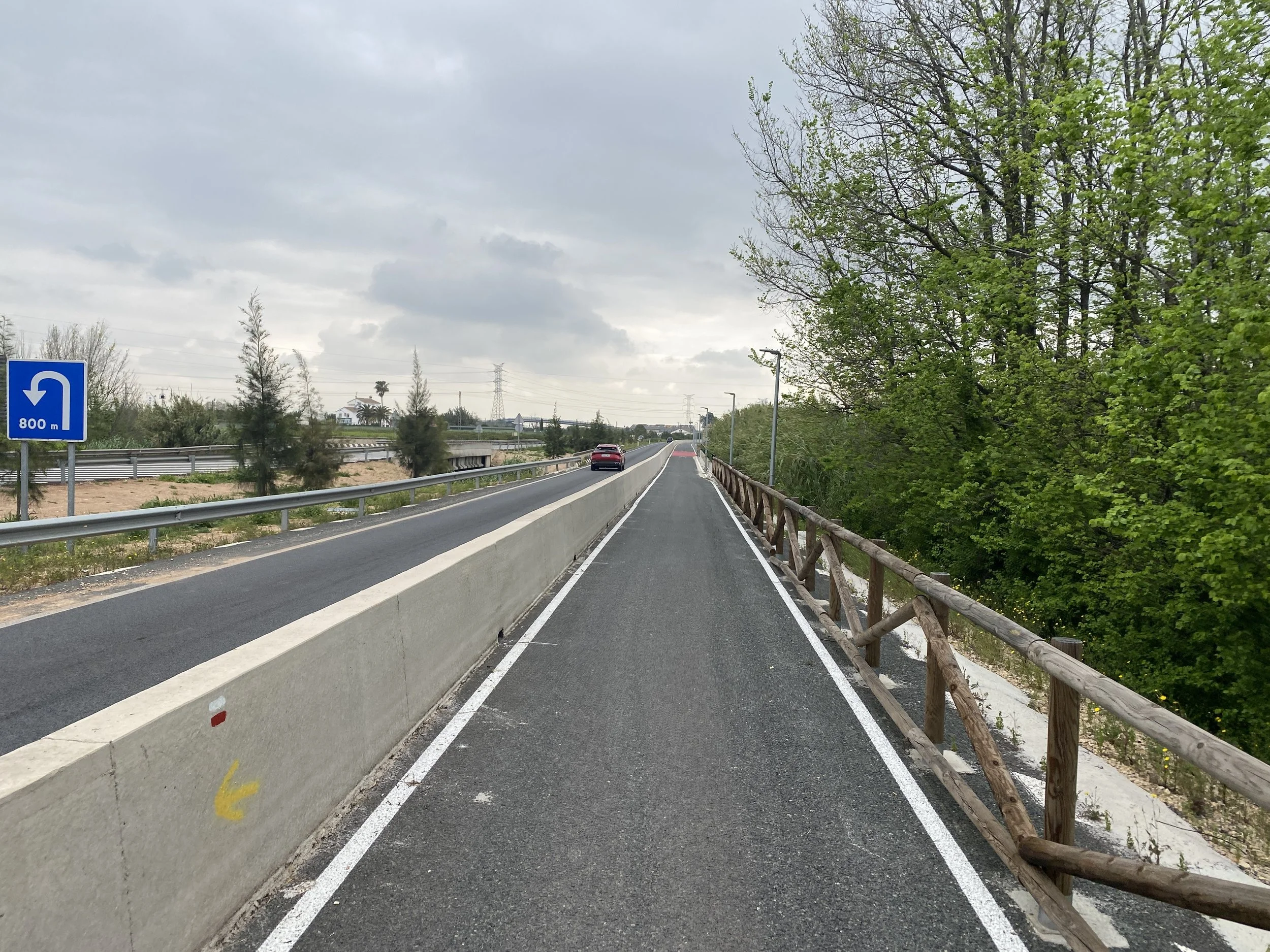
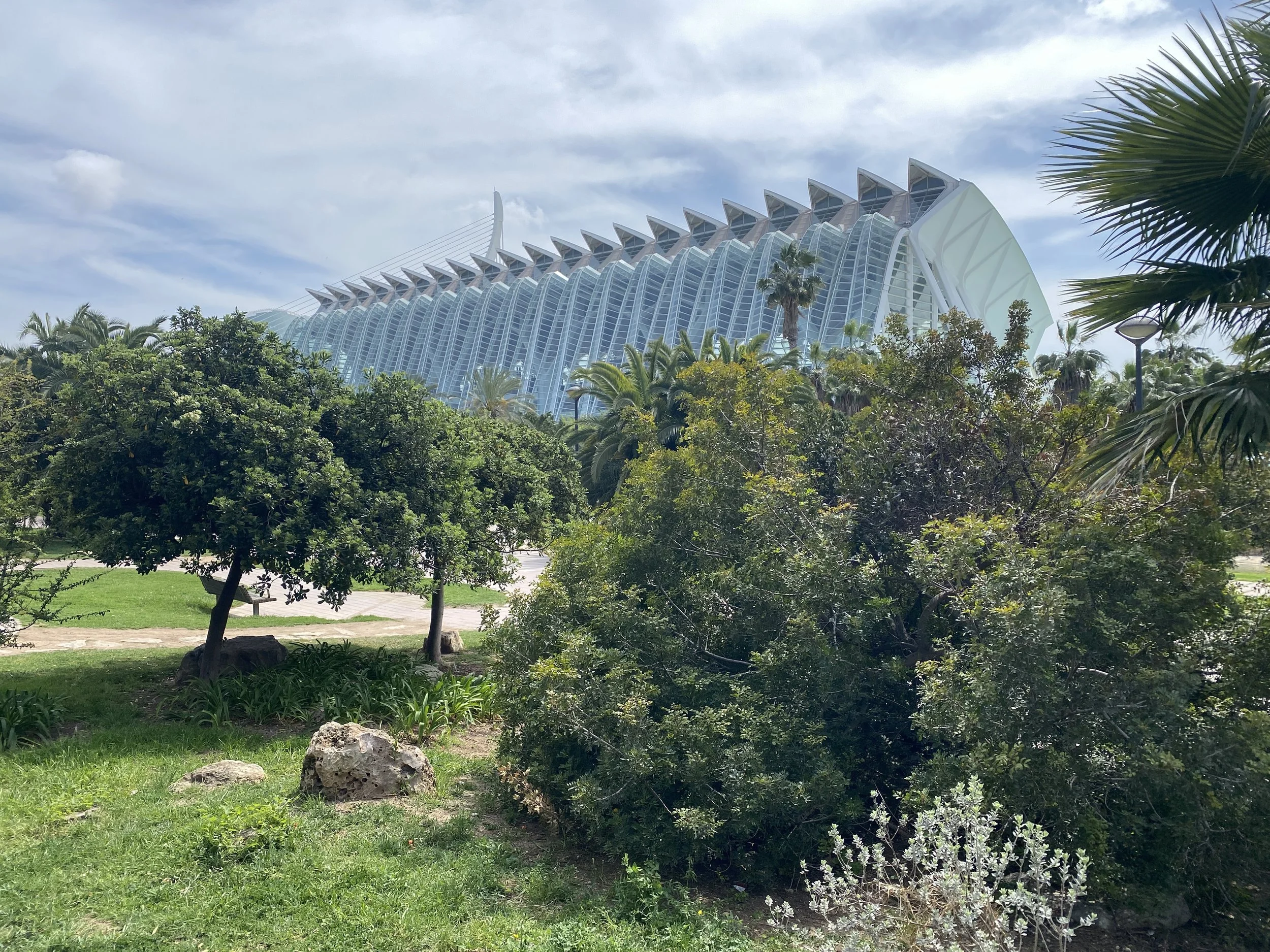
The last section into Valencia is by the coast on cycle paths and then into the city via the amazing hi tech architecture of the City of Arts and Sciences.
Statistics
Distance: 167 km, 2-3 days
90%+ low/no traffic, 45% off-road
Climb: 1170 m, 7 m/km
Difficulty and type of bike
Most of this route is on quiet roads or cycle ways. However the route I took takes in a couple of bits of singletrack, which while not technical are not smooth sailing, and may involve pushing/carrying at times. The hardest section is between Bocairent and Ontinyent with exposed rocks, steep loose double track and worn walking paths in a steep gully (I took this to avoid the busy road which is the only other route through this terrain).
If you worked around those sections then almost any kind of bike would be fine, otherwise if you stick to the route as described then a mountain bike is perfect, but a gravel bike that you can carry will work ok.
When to go
I’d avoid summer in Southern Spain because of the heat but here you’re never far from towns or villages and there’d be plenty of supplies.
Spring and autumn best with the possibilty also in winter.
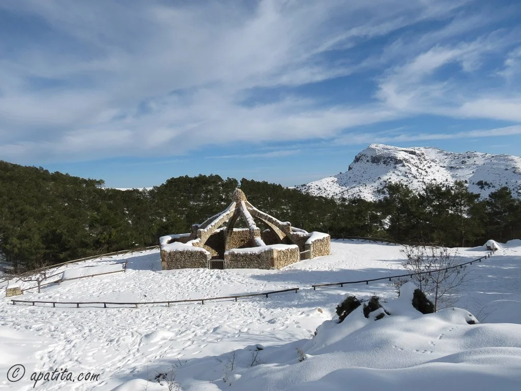
The ice industry of the Serra de Mariola.
I was fascinated by this. Even in April it was hard to conceive that there could be snow or ice in this area in winter, and these days there isn’t much. But temperature science shows that it was much colder between the 1500s and 1800s, the “Little Ice Age”.
So before industrial refrigeration, the snow trade was a big thing in this area, peaking during the latter half of the “Little Ice Age”.
The snow would be “harvested” in winter and distributed in summer, supporting a big network of mule drivers, traders, and labourers. The industry had disappeared by the early 20th century.
However the physical legacy of this trade remains in the Serra de Mariola in the form of the ice caves / snow wells (cavas or neveros). The circular caverns were dug out and lined with stones to create a form of insulation. Snow was loaded in through the above ground hatch, allowing the layers to compact on top of each other as the snow was added.
Source and attribution: https://www.apatita.com/ after https://creativecommons.org/licenses/by-nc-nd/4.0/

Highlights
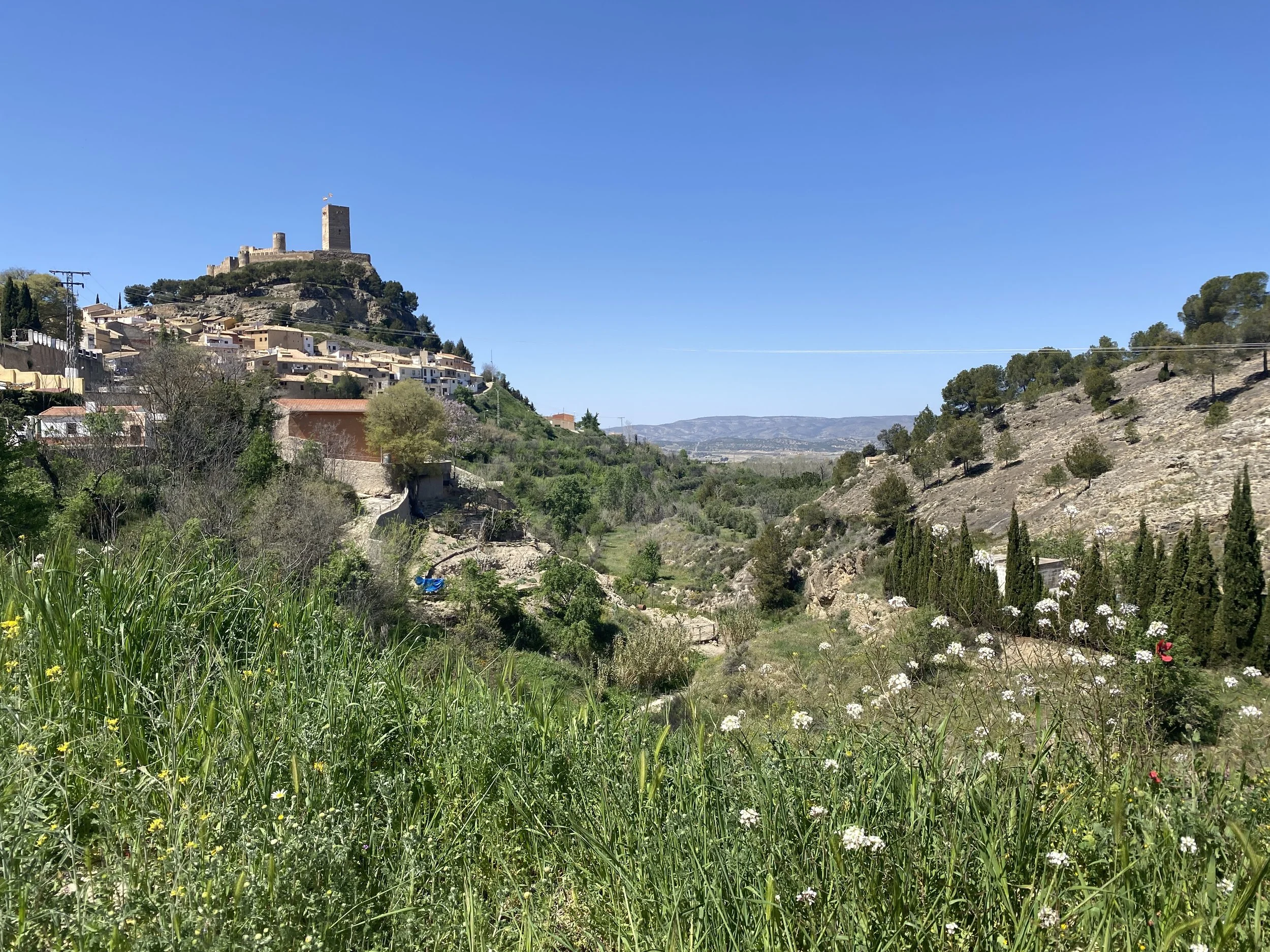
Biar has a couple of sites to see: the ancient aquaduct and the castle. But the town itself is wonderful with its curving tight streets and quiet squares. I stayed at the La Fasana and it had amazing lunch and dinner.
Bocairent is much larger than Biar and feels busier, even out of season. Visit the cave warehouses and the snow cave or just wander the passages of the old town.
My big memory of this stage was the hard off-road out of Bocairent on loose rocky terrain, descending kind of scary steep double track into a rather forgotten valley with a rough path at the bottom. In that valley there’s the remains of mills with history behind them.
The river bathing pools, Pou Clar, just before Ontinyent, looked very inviting.
I stopped for lunch at Restaurant Gambosi, Ontinyent. Amazing food.
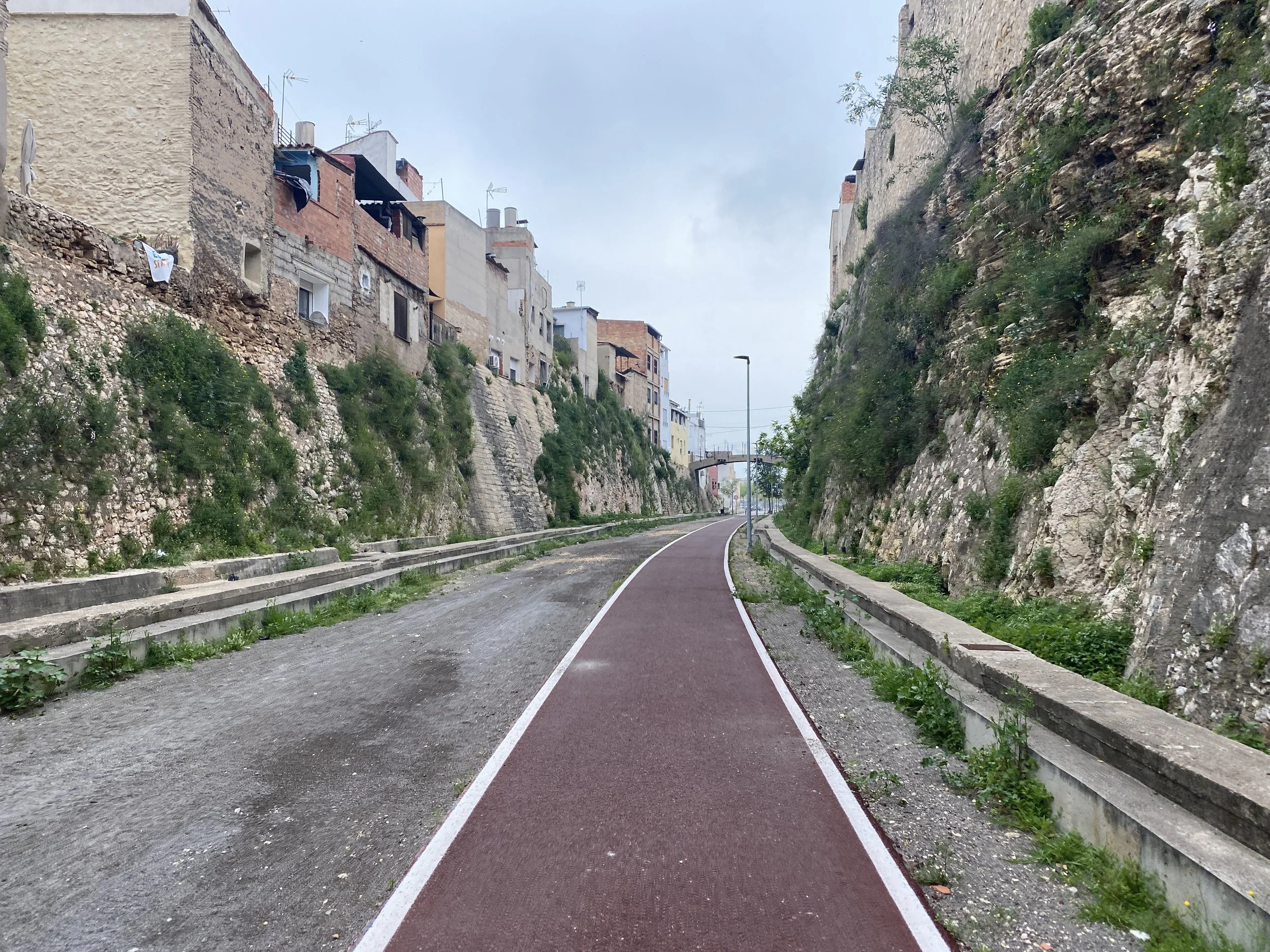
Following the path by the river into Xativa. You’ll also pass the Cova Negra Neanderthal site, which whilst inaccessible to visitors, does give you an insight into the prehistory of the area.
Xativa feels very grand, and is the first “grand” town since Jaen.
The markets and sense of life in the coastal towns, Carcaixent, Alzira, Algemesí, and Almussafes.
Parc Natural De L’Albufera and El Palmar, for the paella.
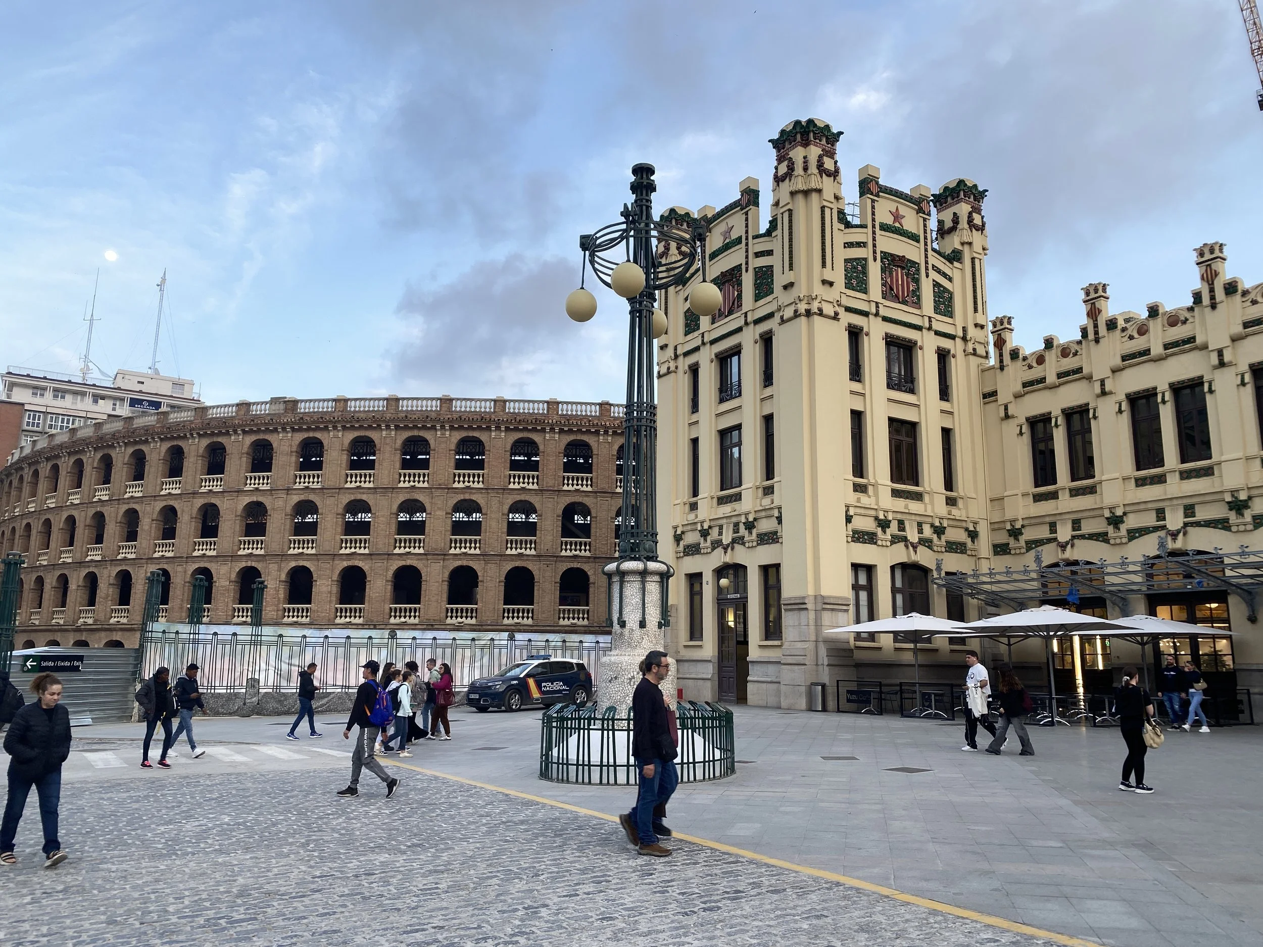
Valencia is a must visit place, it’s grander than Barcelona and friendlier than Madrid. There’s hundreds of sites but I loved Europe’s longest urban park, the Jardín del Turia and the hi-tech City of Arts and Sciences.
Route
Getting there and back
Villena is a short, frequent and bike friendly (local train) journey from Alicante and its international airport.
And Valencia is very easy, fast frequent trains to the rest of Spain and an international airport.