The End of the World Tour.
Cycling home from the end of the world. A massive redo of the southern half of the European Divide Trail taking in more towns, culture and history. Portugal to Copenhagen divided into two-week trips on an adventure bike.
Description
After completing the Via Francigena in 2022 I wanted another challenge that aligned with my principles of adventure cycling. I wanted to take in some countries I’d not cycled in and also revisit France because that was my favourite part of the Via Francigena.
I like the direction of the European Divide Trail (EDT) and the amount of off-road it has. Still, the baseline route doesn’t include nearly enough opportunities for stops in towns and cities with significant historical and cultural impact. I wanted to be closer to the people of the land as well as the outdoor life that is implicit in adventure bike touring.
To this end, I’ve greatly altered the route (or at least expect to) so that it only follows the rough diagonal across Europe that is carved by the EDT.
Sagres to Cordoba
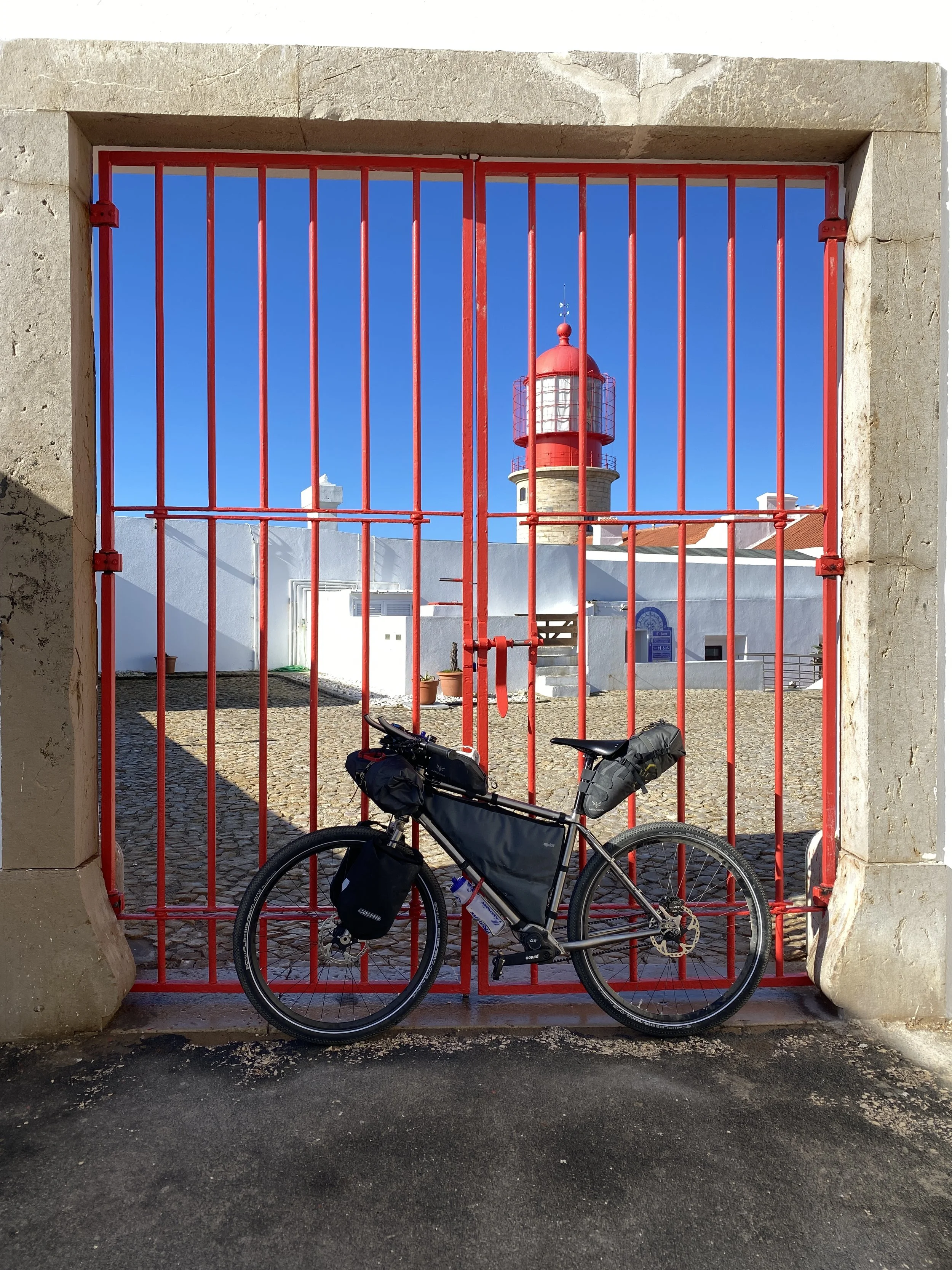
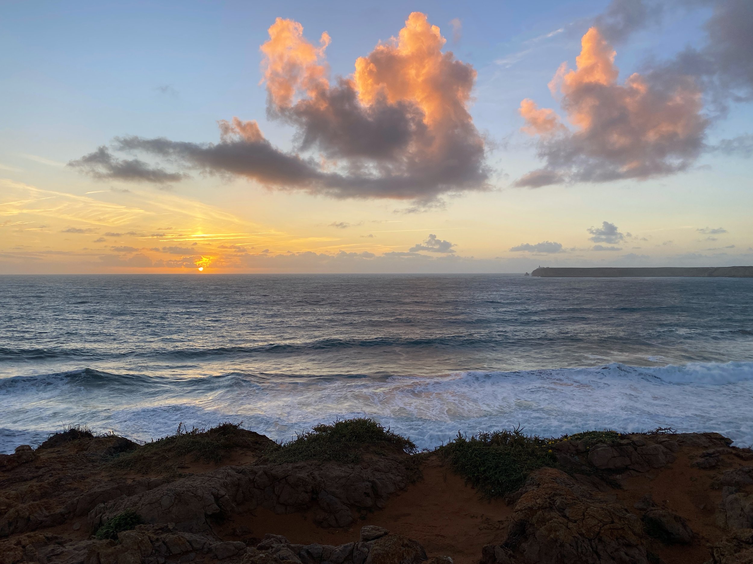
In ancient times the end of the European world was at Cape St Vincent, the most southwestern point of mainland Europe. It was a sacred and mystical location separating the known from the unknown, where tales of sea creatures and mythical beings could easily seem real.
It is an ideal location for starting/ending a long-distance trip, a few of which either start or pass through (EuroVelo 1, European Divide Trail, Fishermans’ Trail, Via Algarviana).
This initial 12-day trip revolves around several existing trails, some of which are well documented and some of which are more dubiously maintained. The four sections are:
Part 1. Via Algarviana (days 1 to 5)
The first part of the trip (250km) traverses the Algarve mountains on the Via Algarviana / GR13. A really hard route on a mountain bike, anything other than that will be even harder.
Part 2. The smugglers path between Portugal and Spain (days 6 to 8)
The next part (150km) joins the Algarve to the Sierra de Aracena in Spain. This is an odd-ball collection of routes to get me across the border to Spain via the iconic town of Mértola. There’s side shoots of the Via Algarviana and bits of the European Divide Trail but the best part was simply stumbled upon looking for gravel tracks between Martinlongo and Mértola.
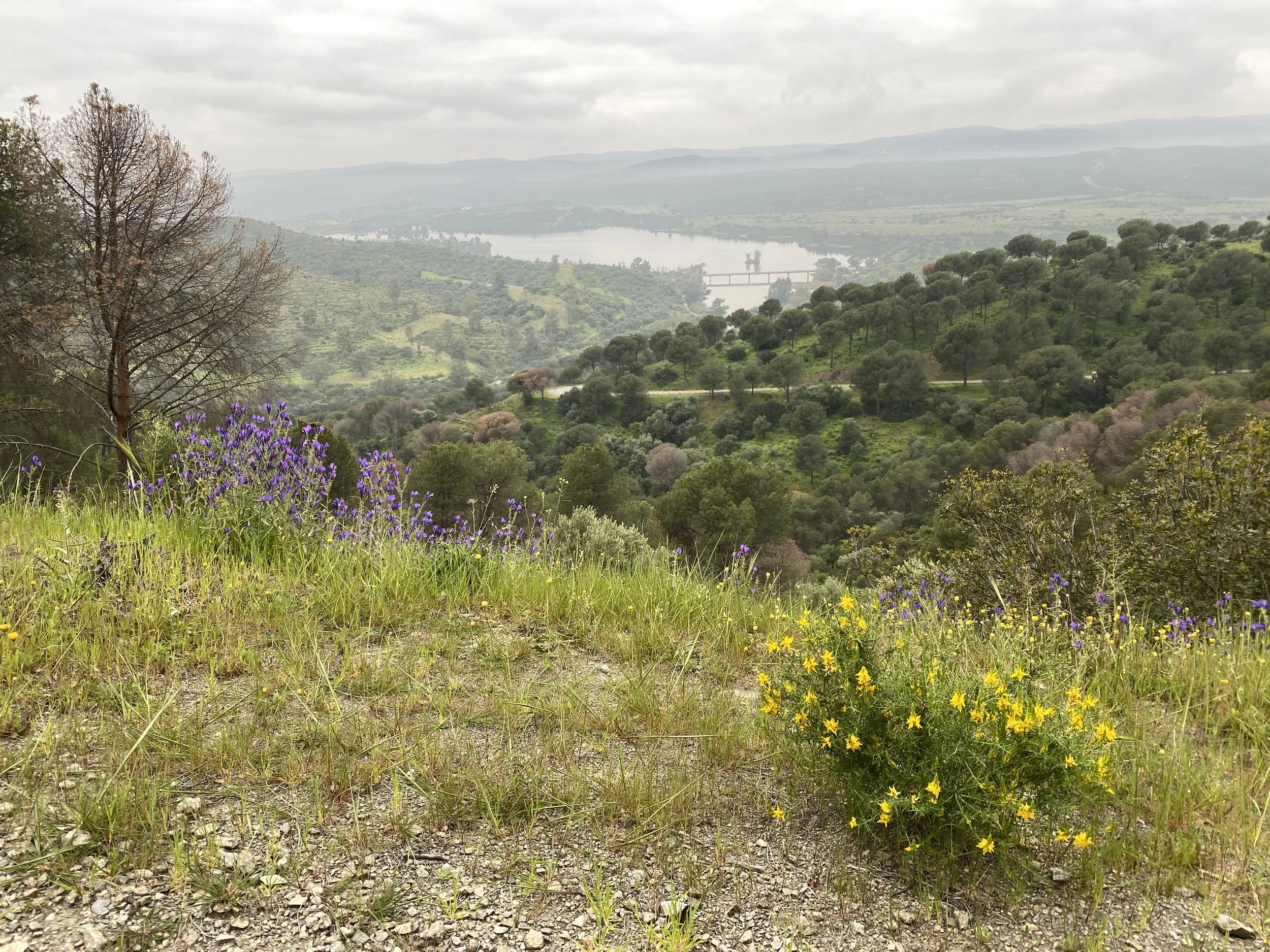
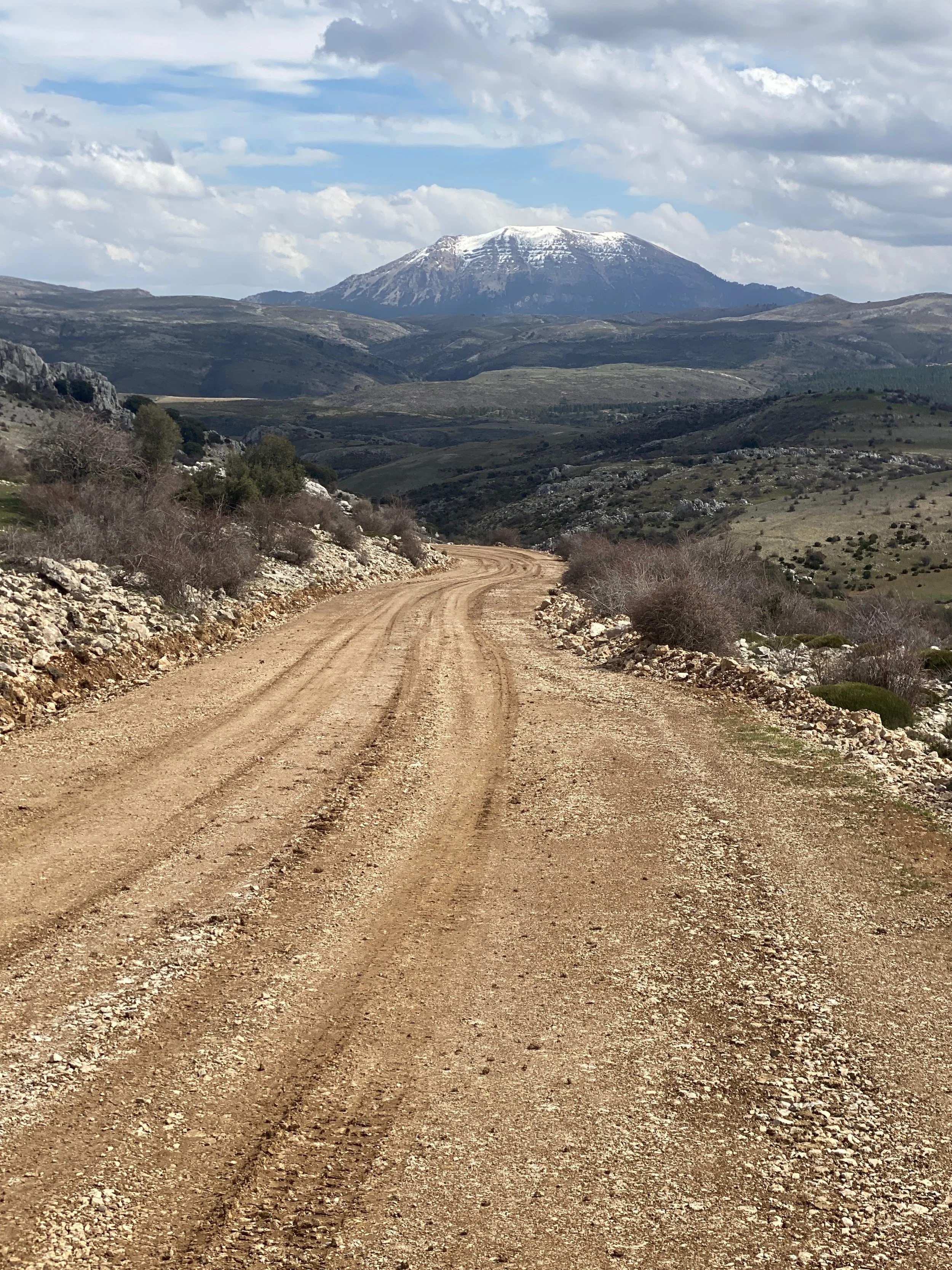
Part 3. Traversal of the Sierra Morena (days 8 to 11)
The 3rd act is the 230km traversal of the Sierra de Aracena and the Sierra Morena as far as Hornachuelos. Much of this follows the TransAndalus mountain bike route and the GR48 long-distance path.
Part 4. Into Córdoba (days 11 and 12)
Finally, there is the flatter 50km route along the side of the valley of the Guadalquivir into Córdoba.
Statistics
Distance 676km, 12 days
Climb 13,533m, 20m/km (hard)
Difficulty and type of bike
I thought this would be quite an easy trip… “a nice gentle few days to ease myself into things”. I was very very wrong.
Especially days 2, 3, 4 and 5 were crazy steep and hilly. In total 5 out of the 12 days were at the Bikepacking.com (who cater to hardcore bikepackers as a default) highest difficulty of “Very strenuous”.
With a number of 20° slopes and loose downhill sections, this route is best with a mountain bike. Full suspension or hardtail. I did it on an adventure bike, with a Kinekt suspension stem and Pinion gears. I’d recommend a minimum of 50mm tyres: if you do this on less than that then be sure you have comprehensive health insurance.
Cordoba to Valencia
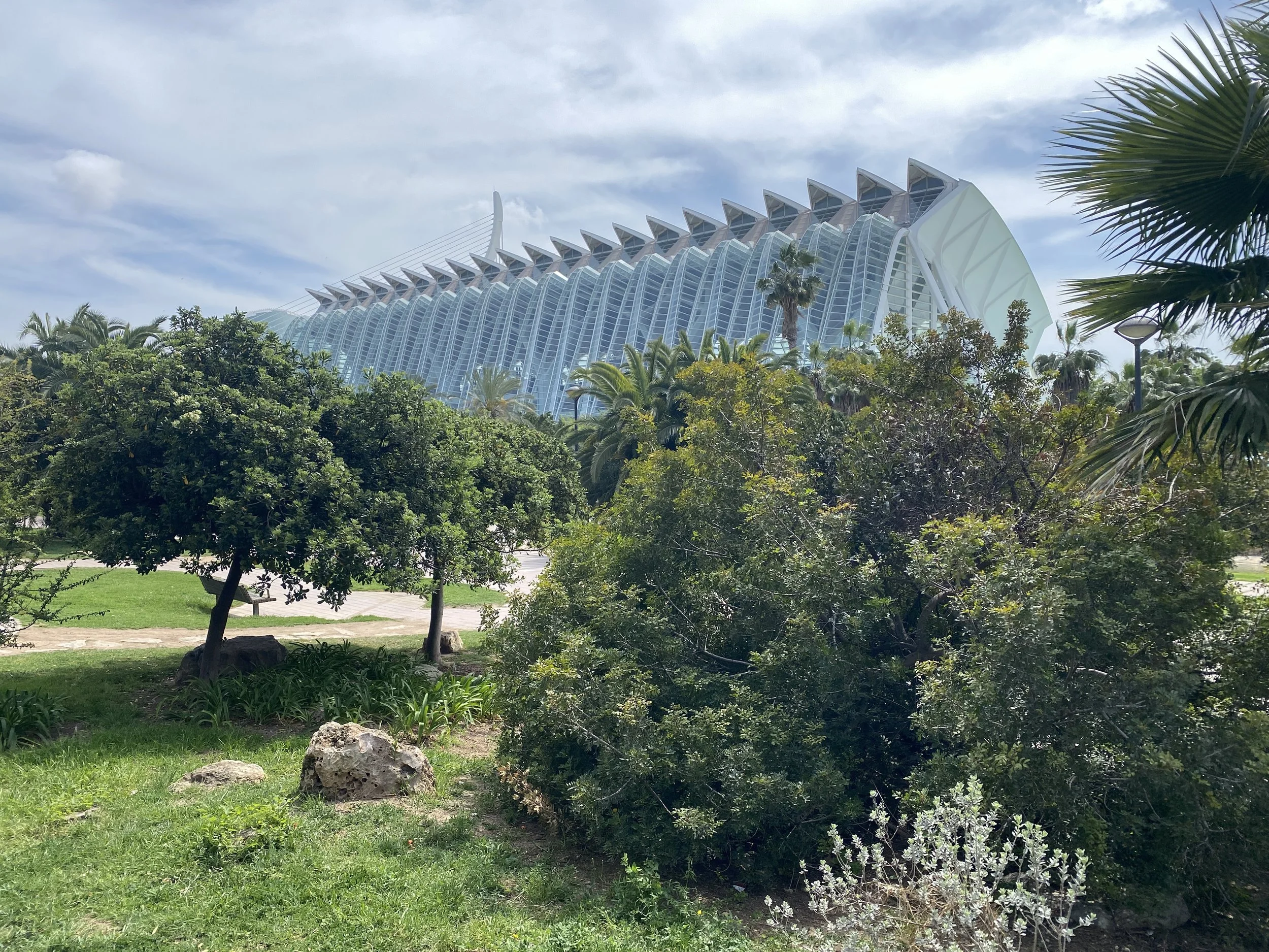
The second part of my journey home from the end of the world starts in what was once the most important city in the world and finishes in the most interesting city in Spain. As a tourist, I found these two cities much more interesting than the usual two cities everyone talks about in Spain.
It’s a 12-day trip with four main sections:
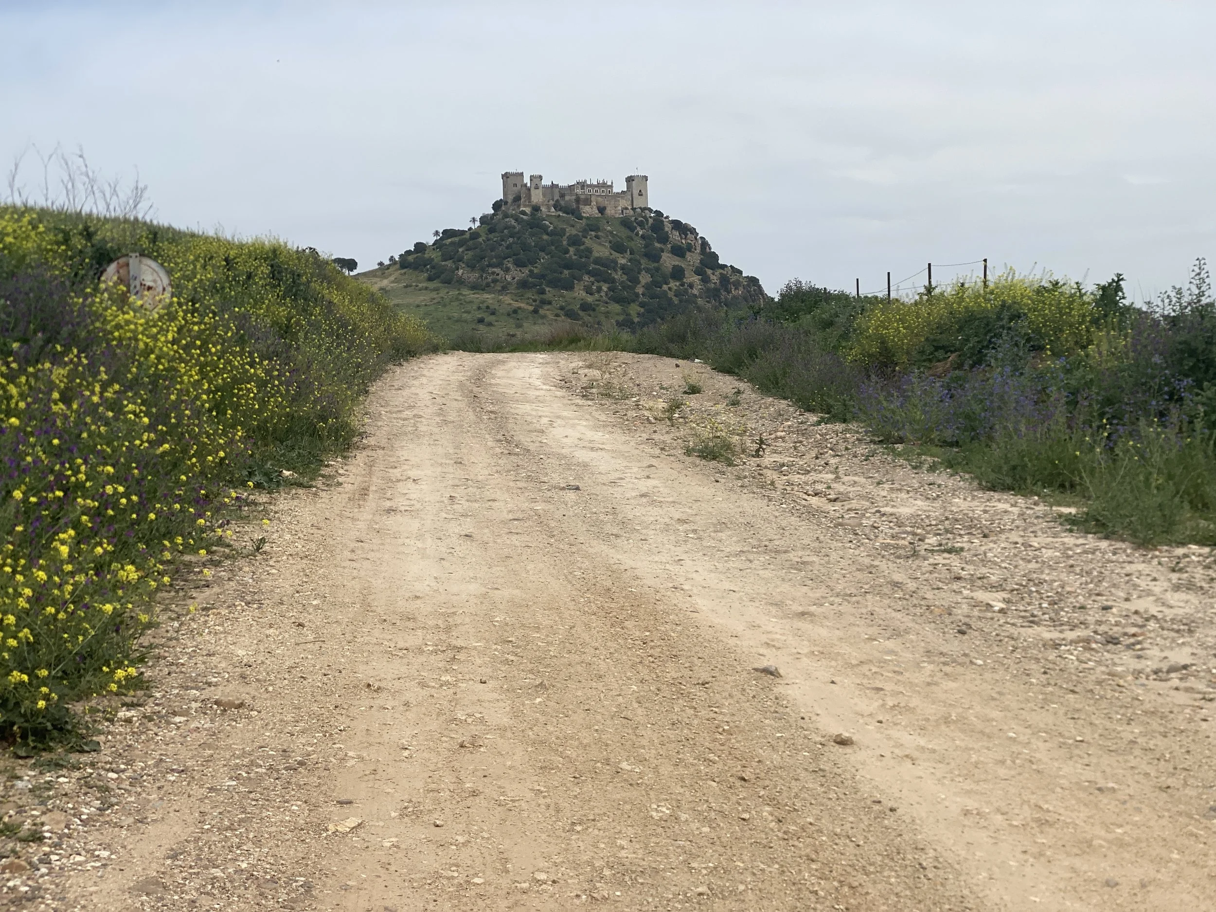
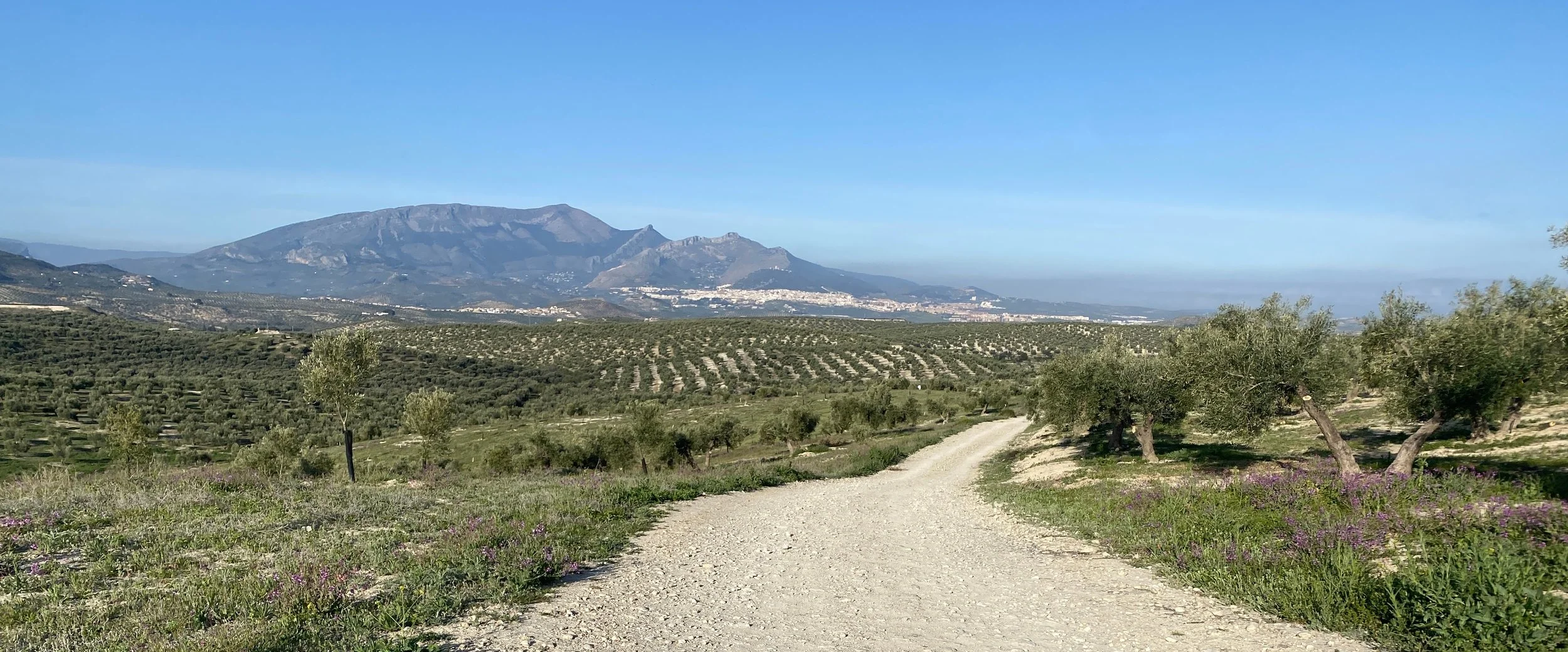
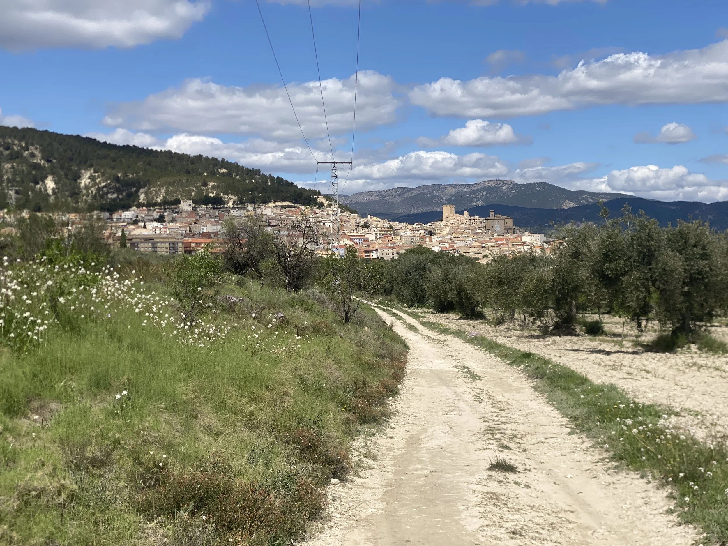
Part 5. The Olive Oil Route (days 1 to 3)
150km of mostly easy no or low traffic on farm tracks and cycleways, almost half on The Olive Oil Greenway. The route ends in Mancha Real but key stops include Castro del Rio, Baena, Martos and the centre of the global olive oil industry: Jaen.
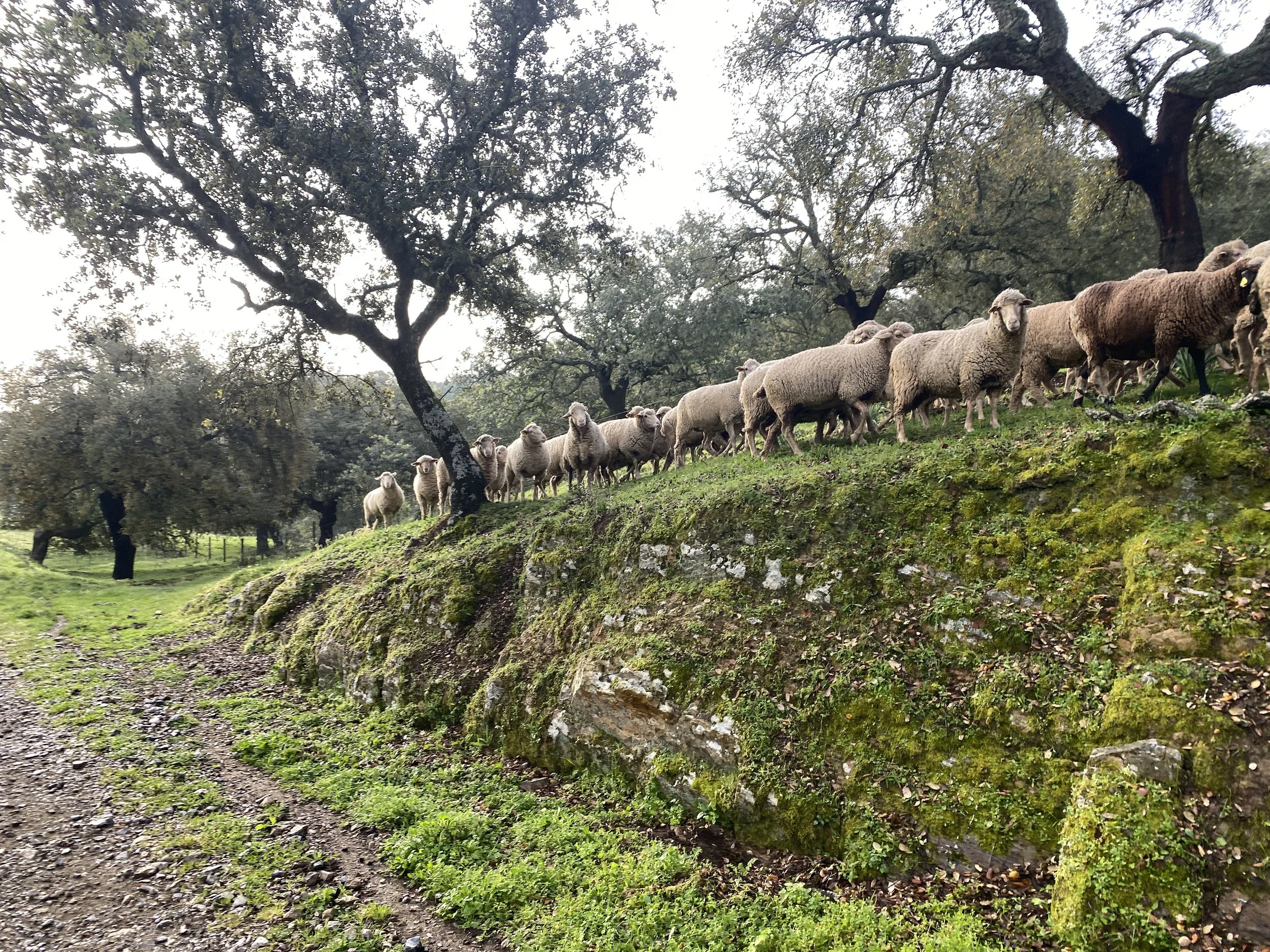
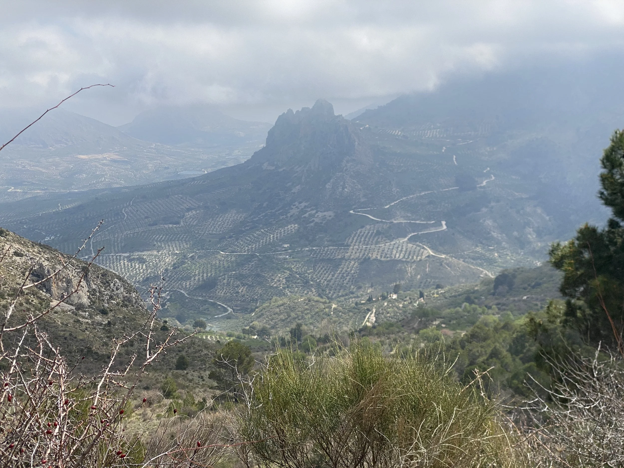
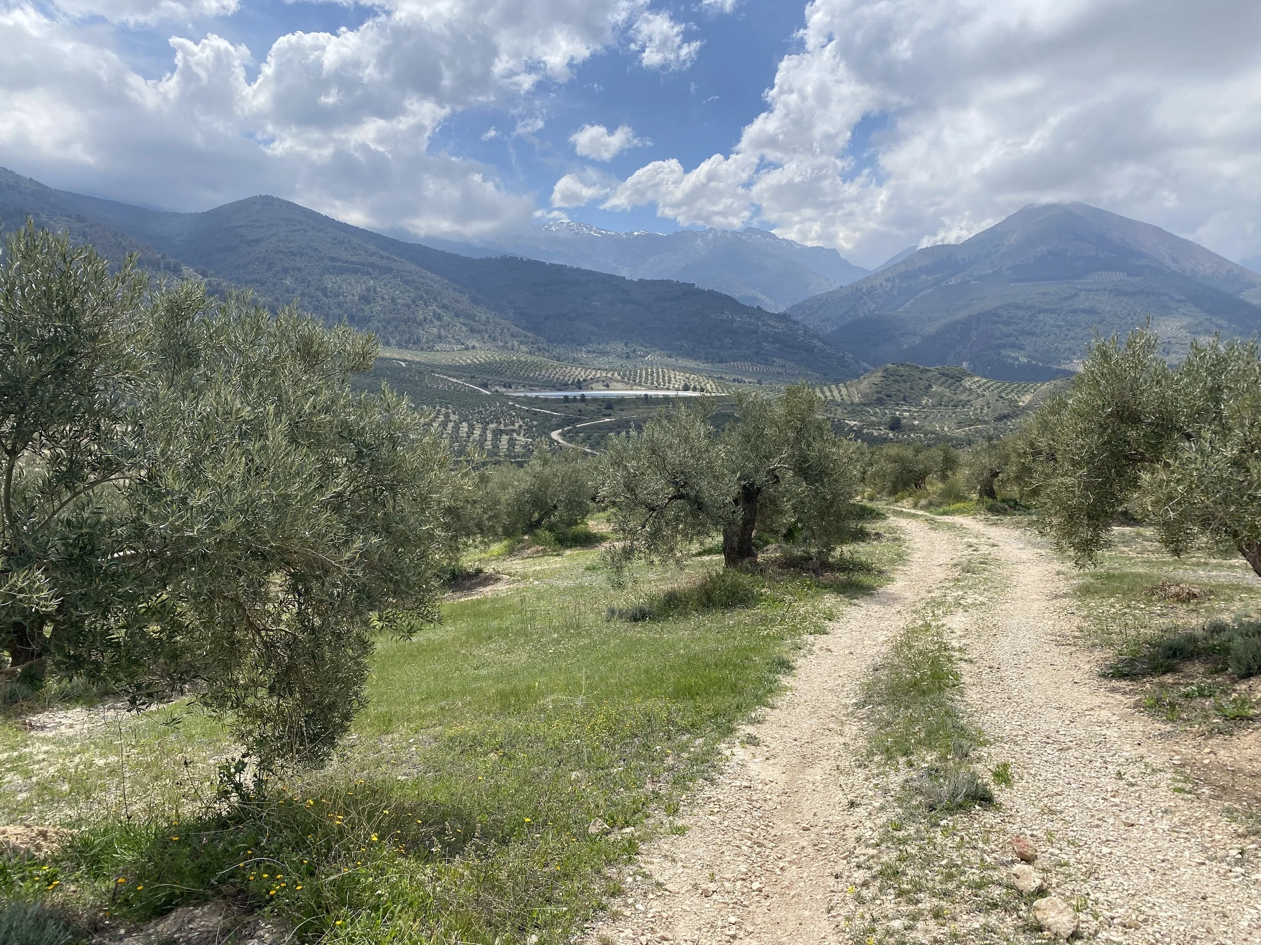
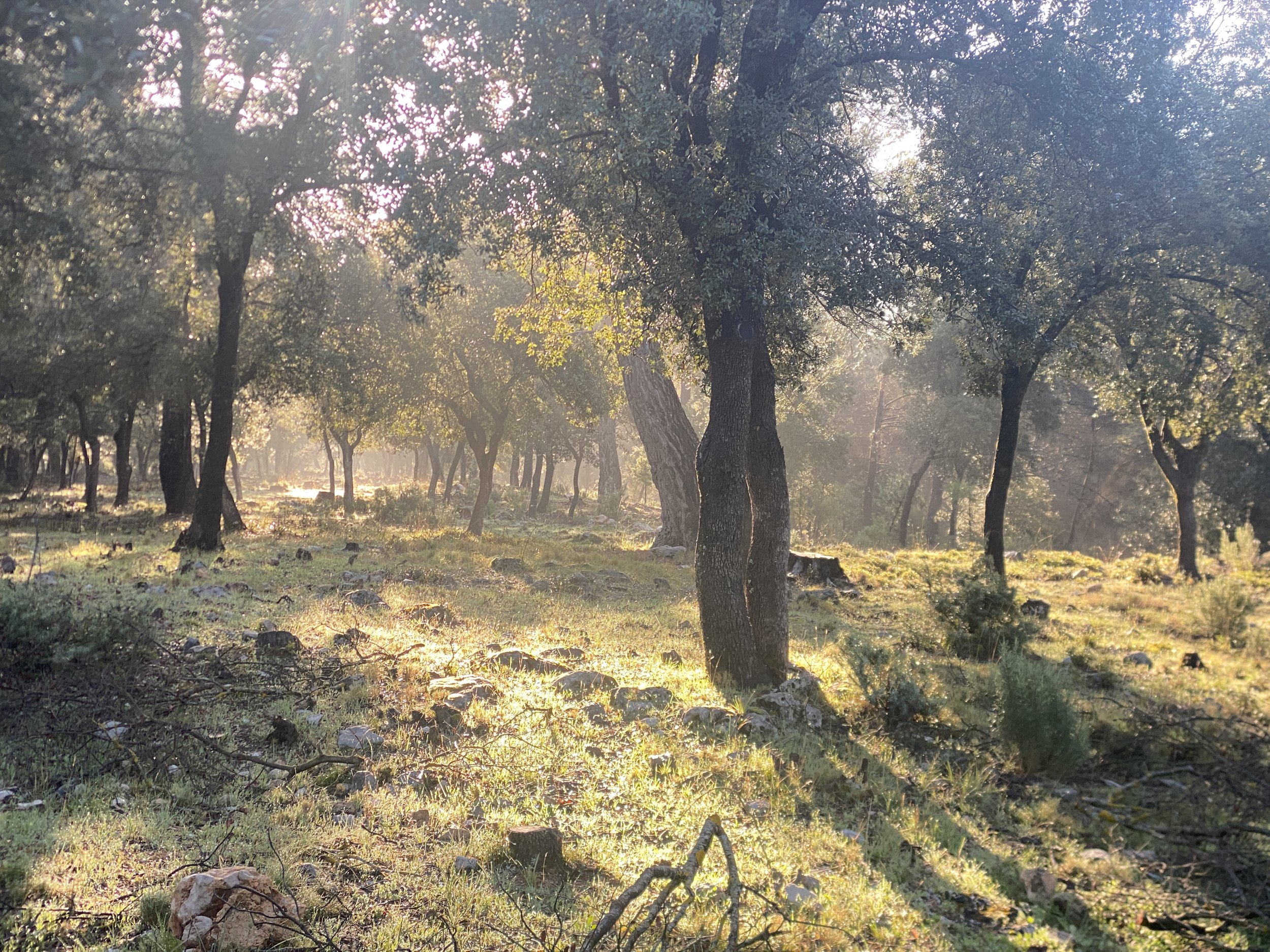
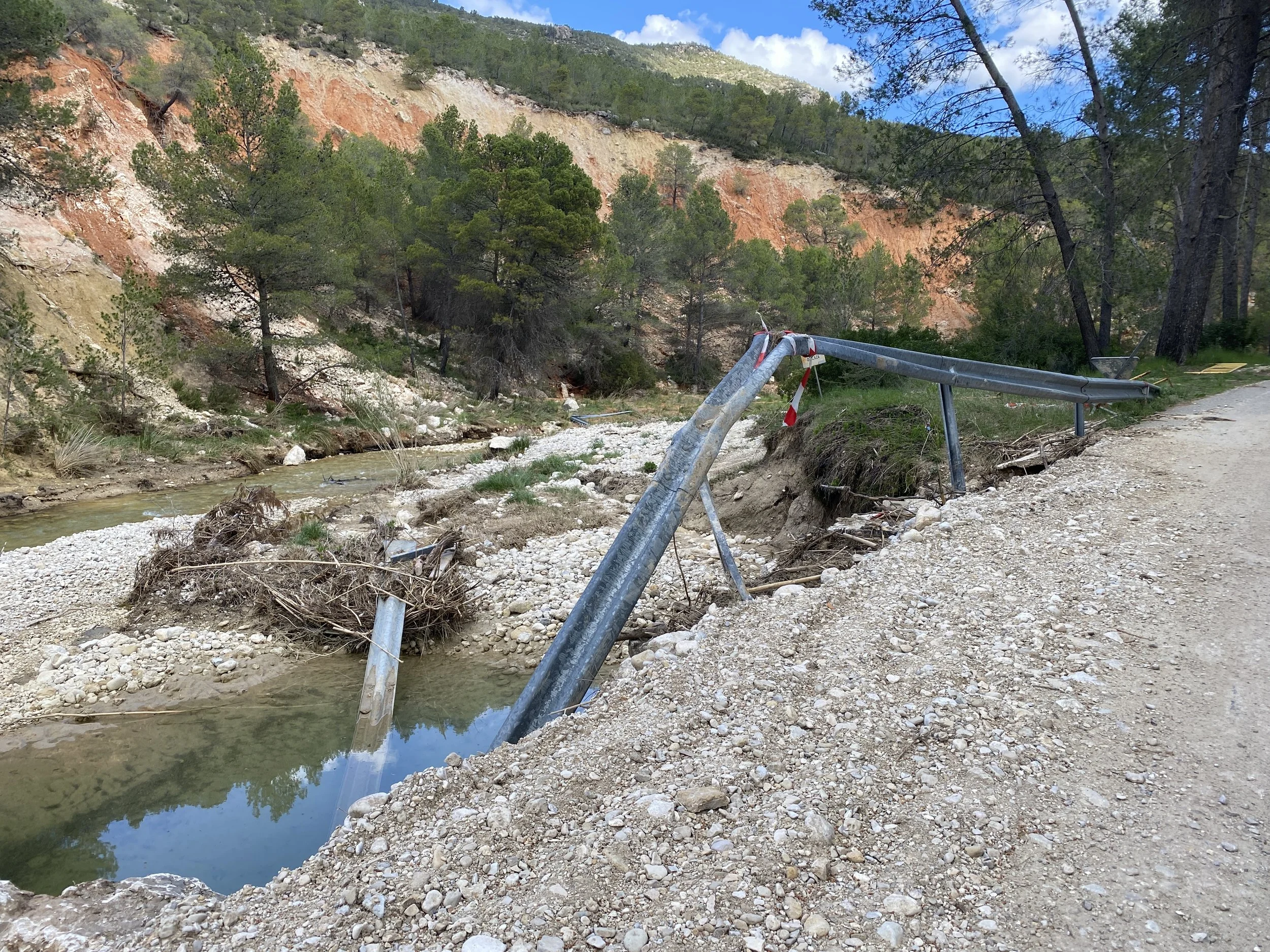
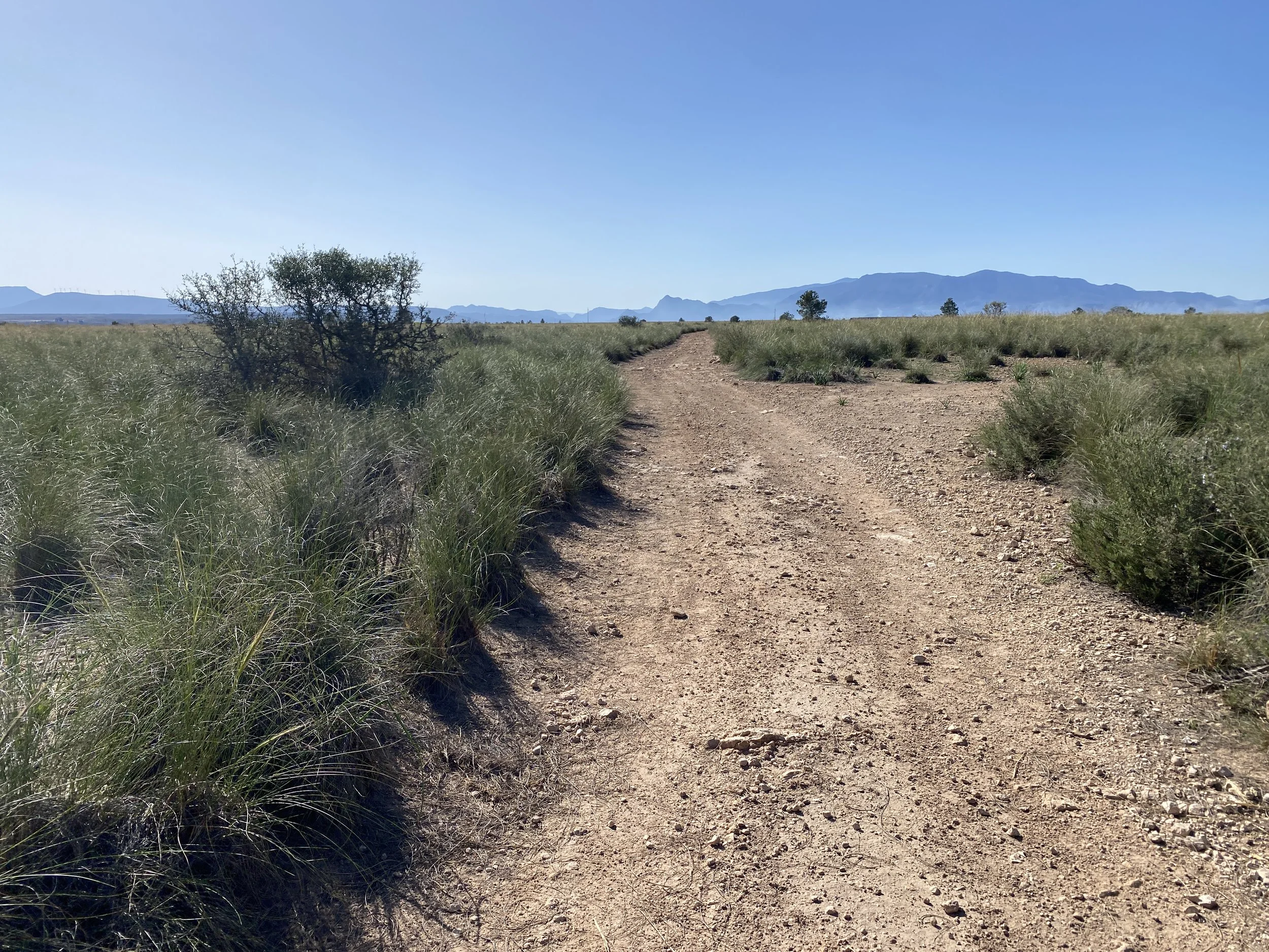
Part 6. The Forgotten Sierras (days 4 to 7)
Almost 300km and 5500m of climbing on all kinds of no or low traffic tracks and roads between Mancha Real and Moratalla. This mountainous route passes through the Prebaetic System, and more specifically the Sierra Magina near Jaen, the Sierras de Cazorla, Segura y Las Villas Natural Park, the roof of Mucia: Sierra de las Cabras and even some of Sierras y Vega Alta del Segura y Ríos Alhárabe y Moratalla.
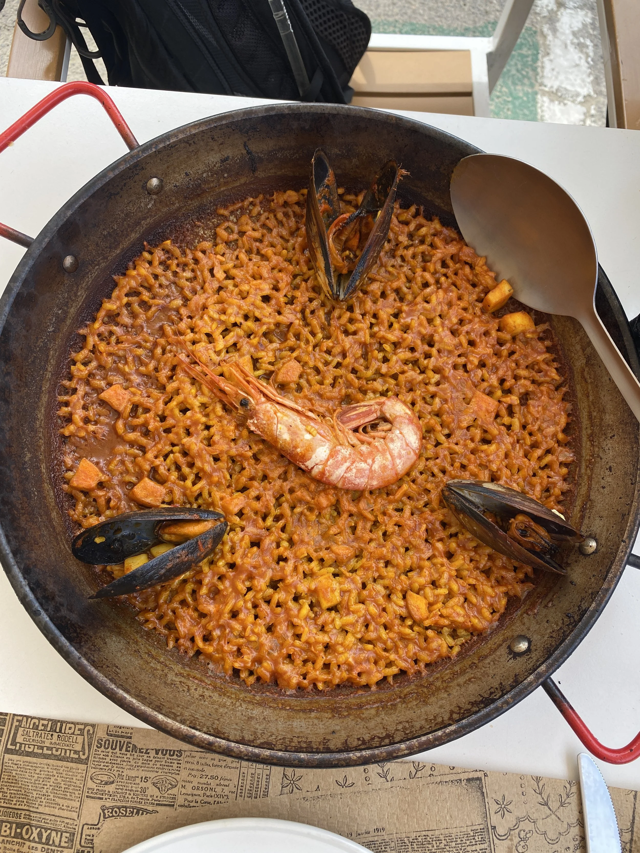
You’ll pass through a series of mountain villages with distinctly Spanish character such as Torres, Albanchez de Mágina, Larva, Hinojares, El Cerezo, Canada de la Cruz, and El Sabinar. I stopped in a number of these and had an outstanding welcome and amazing food
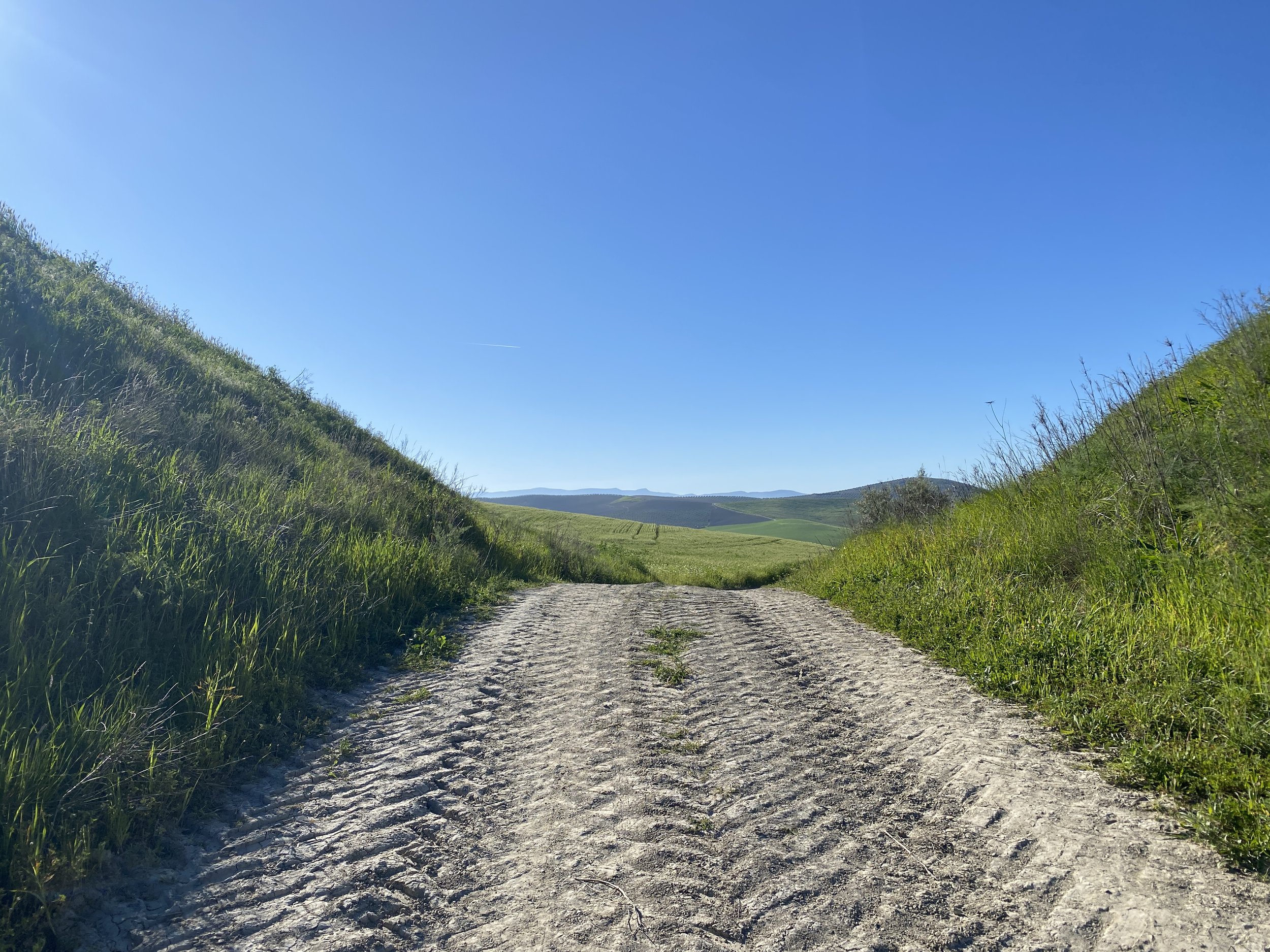
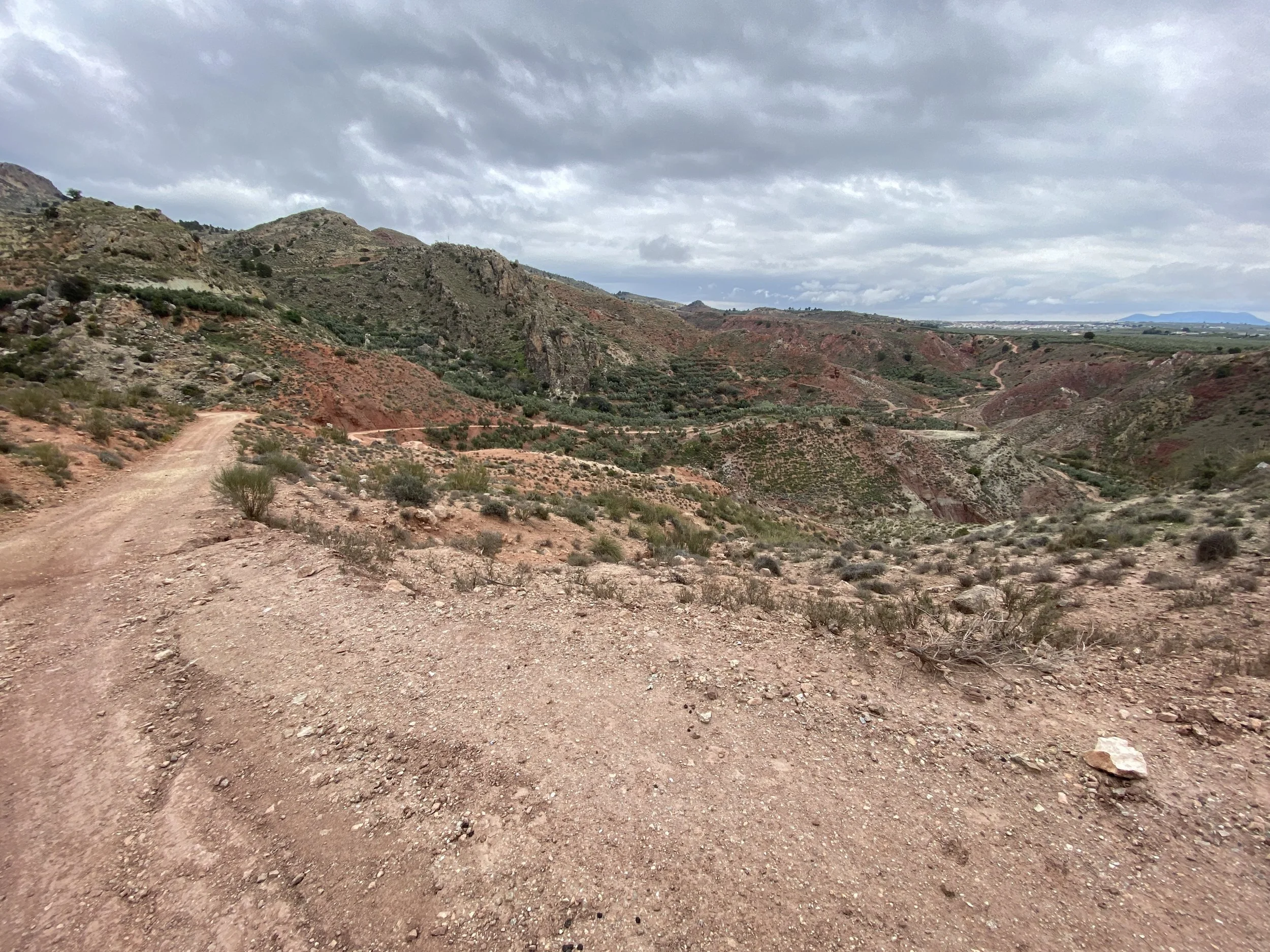
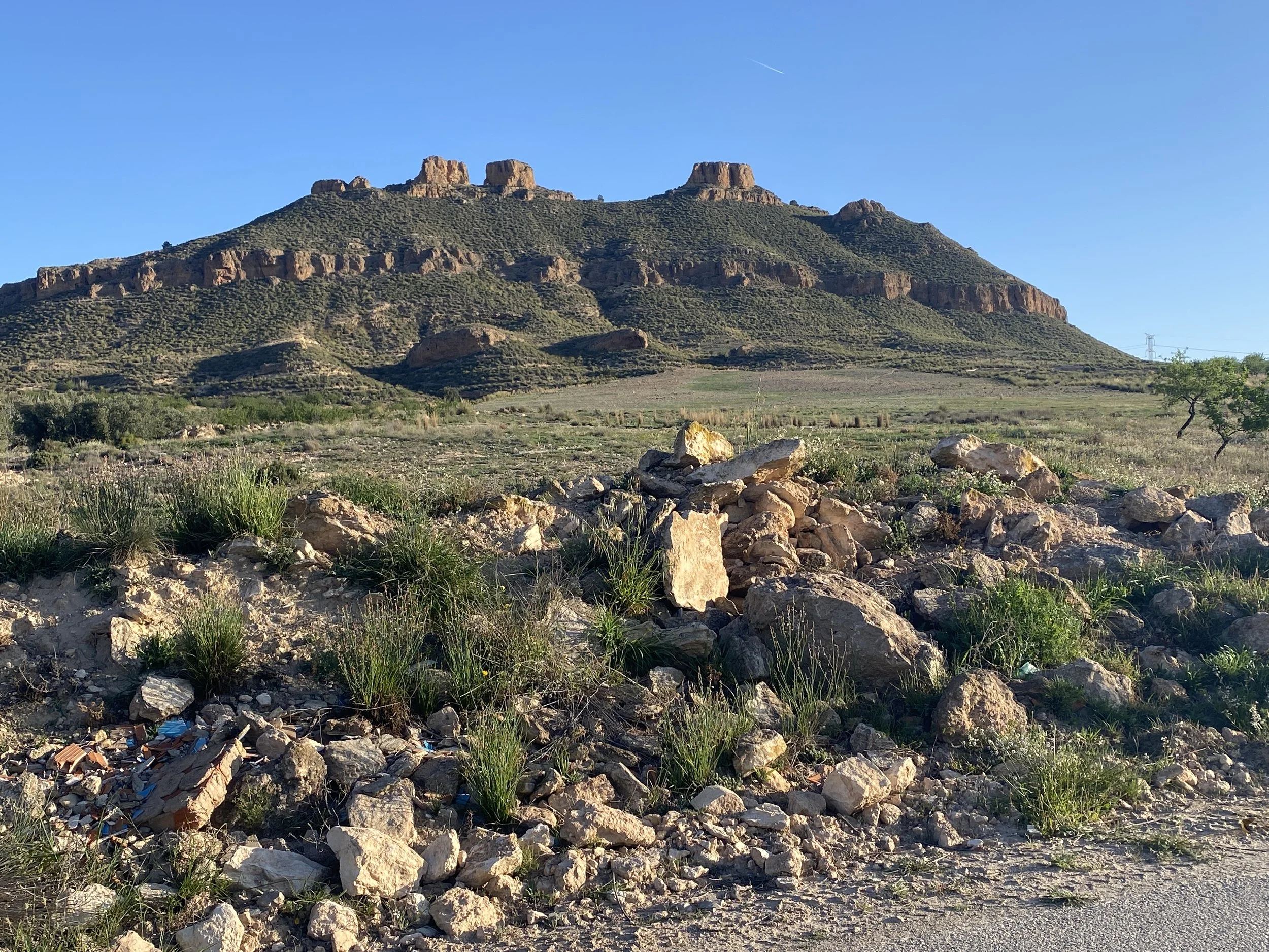
Part 7. The North Murcian Plateau (days 8 to 9)
150km through the stubby limestone ridges and ramblas (dry gullies) of the Prebetic System (Sierras Prebéticas). There’s unique towns with their own vibe or speciality such as Moratalla (foodies), Calasparra (rice), Jumilla (lively because of immigrant labour), Yecla (wine) and Villena (museums and culture).
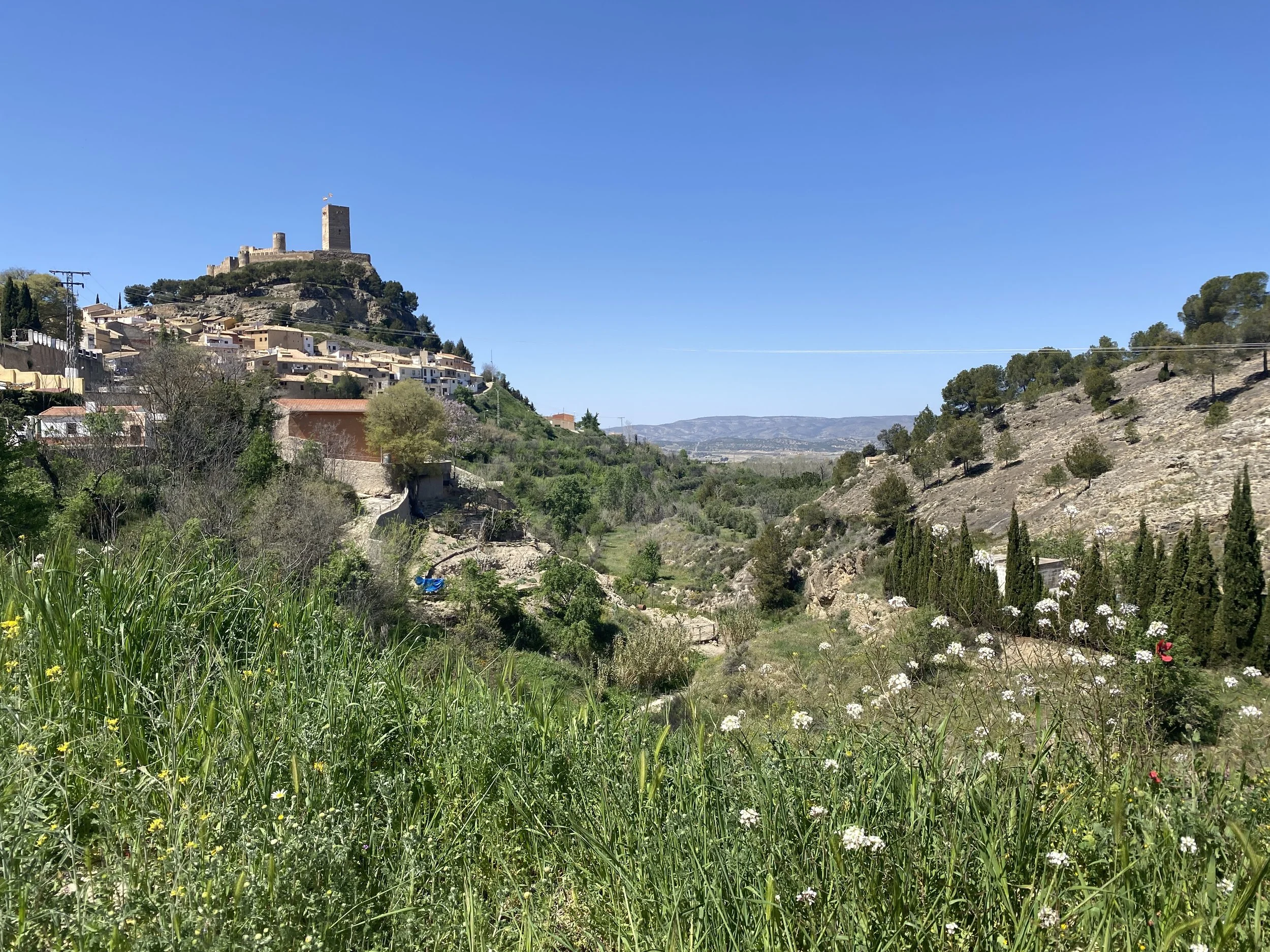
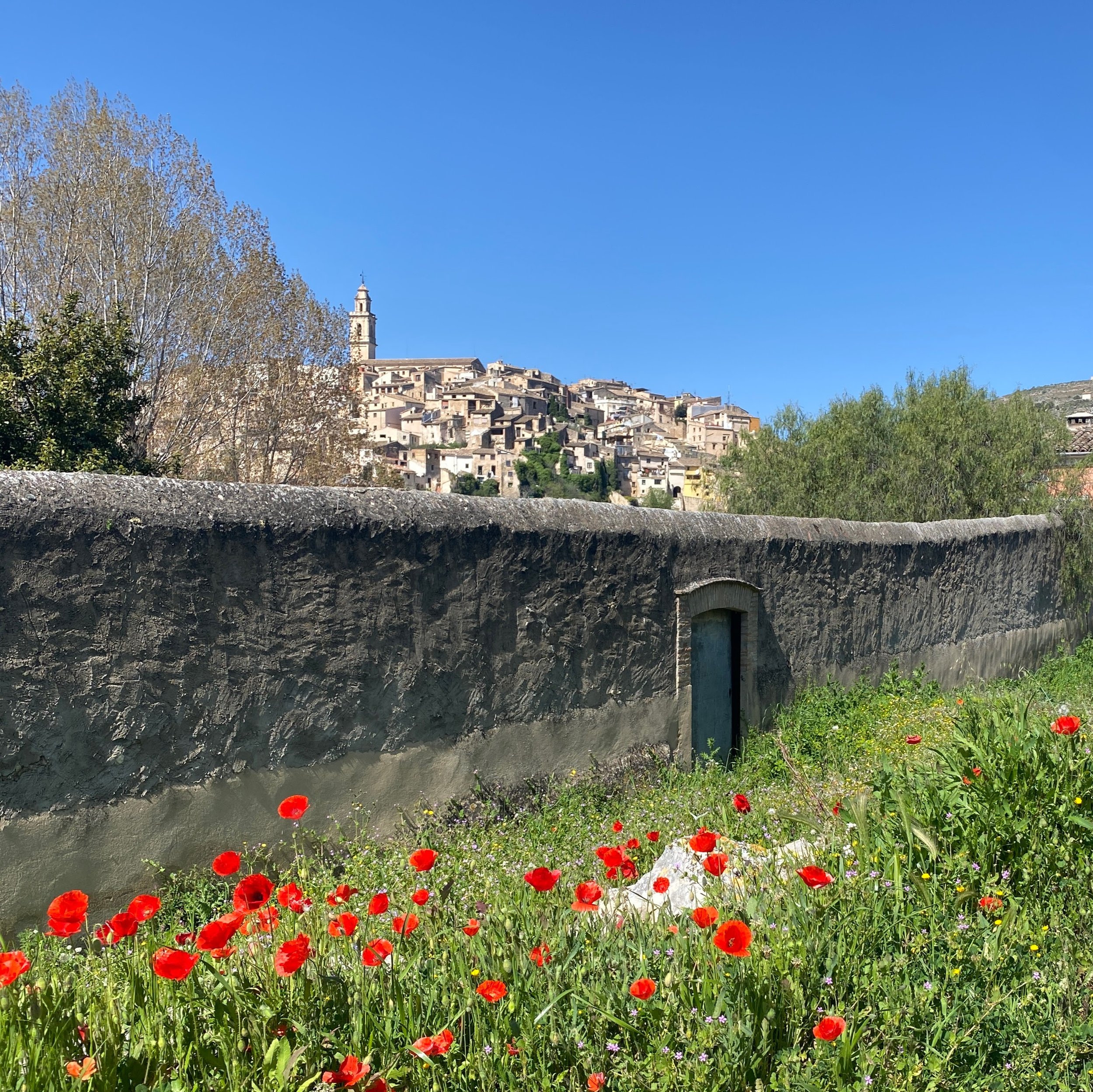
Part 8. The Route of El Cid (days 10 to 12)
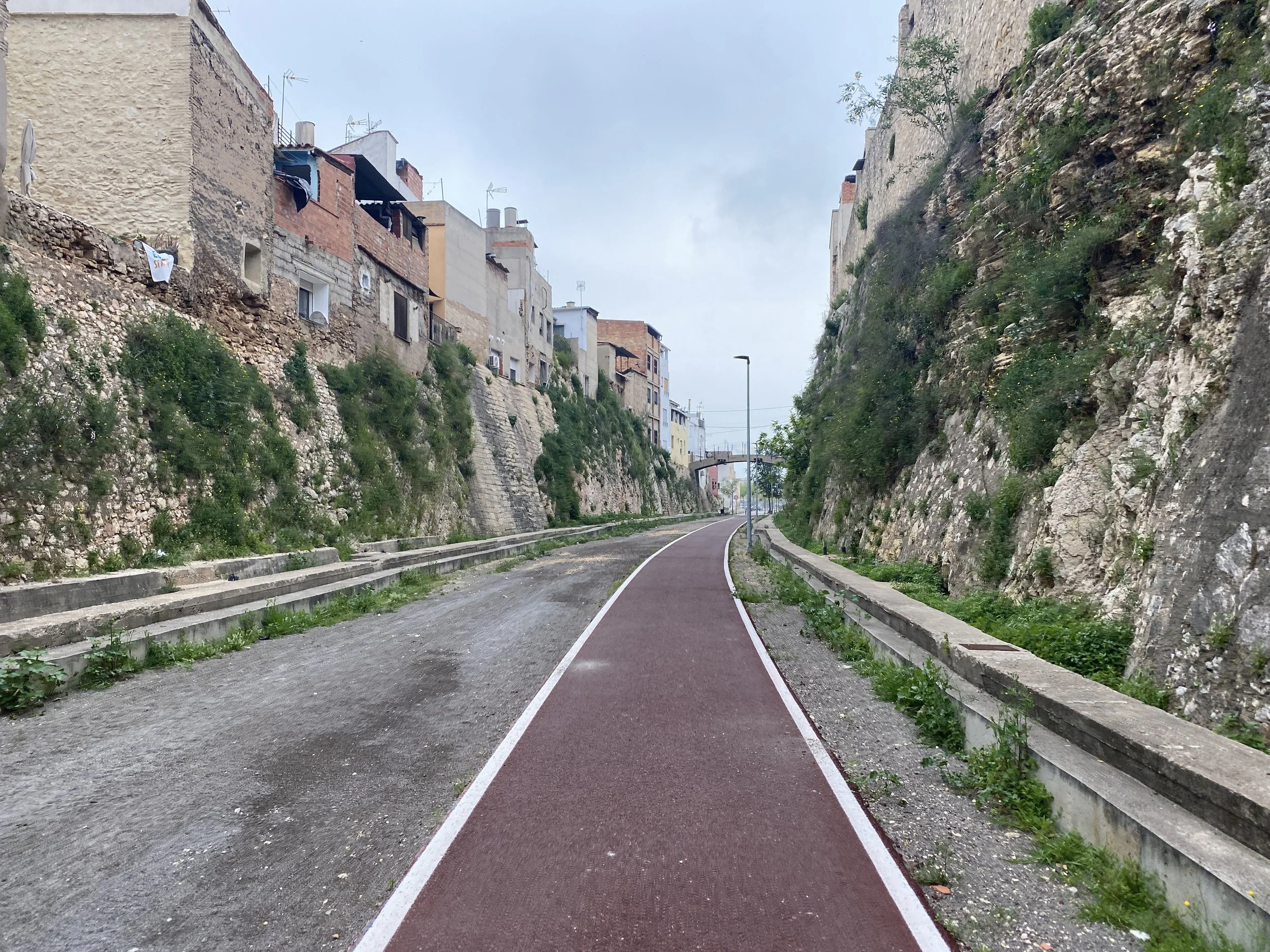
The Valencian Community which starts at Villena has a hugely different feel from Murcia; you’ll notice the differences quickly.
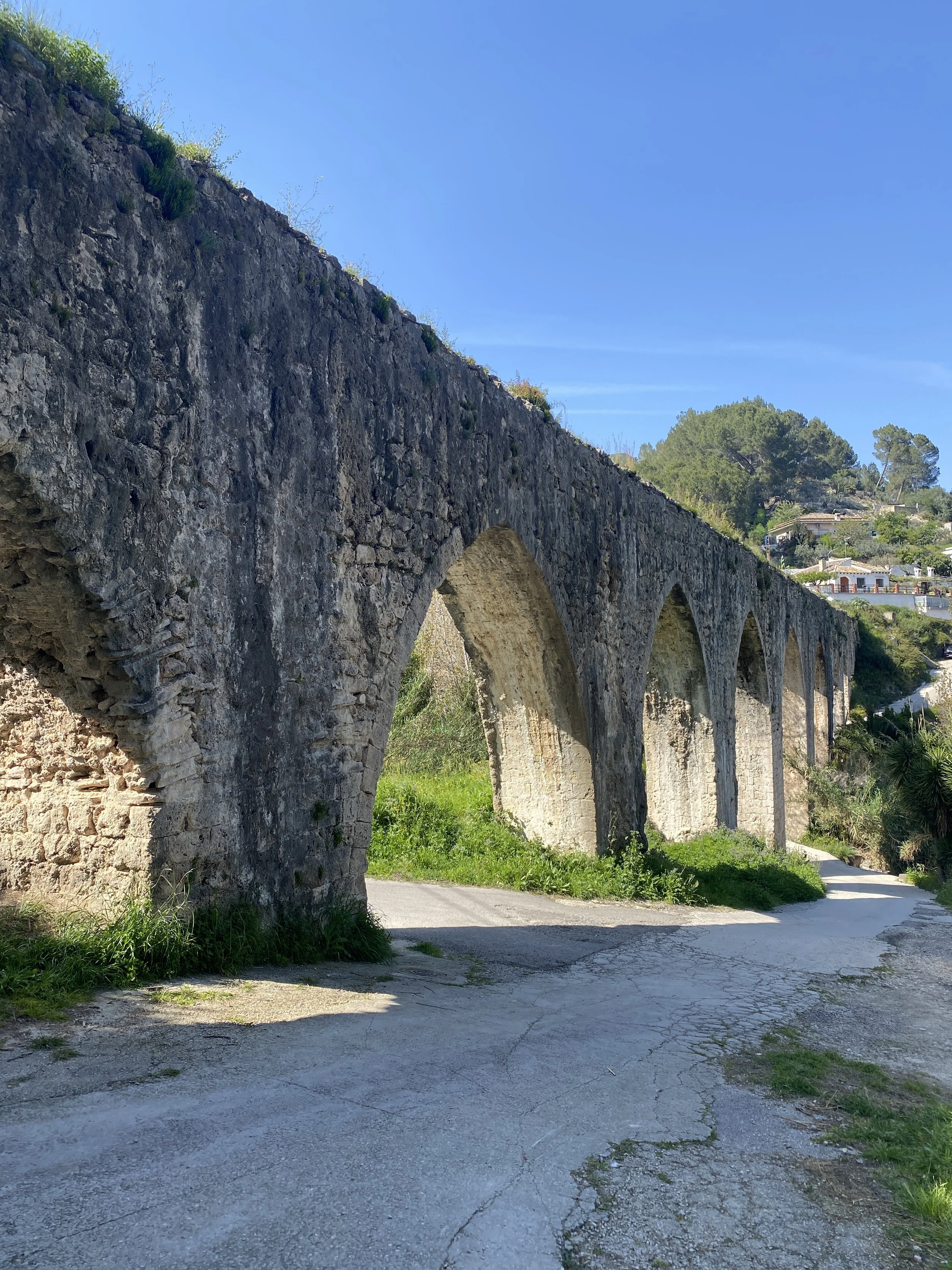
This route stops in picturesque towns such as Biar and Bocairent yet also passes through the old “ice” mountains (where ice was once collected and stored) and the agricultural plains close by the Valencian coast.
Statistics
Distance 762km, 12-13 days
Climb 10,560m, 14m/km
Difficulty and type of bike
There’s a lot of variety in this trip.
From easy cycleways and flat coastal plains right up to mountainous single track and mud bogs (if you get rain).
Whilst there are a few slopes more than 20°, there’s not many and even some of them are on asphalt.
Unlike Trip 1, this trip would be ok on a gravel bike provided your gears and you are ok going up steep slopes from time to time.
The main thing tilting you in the direction of a mountain bike would be the very rare sections of mud, which may be non-existent most of the year. There’s also a couple of bits of nasty single track in the last section (The Route of El Cid).
I did this on my Nua Roure with 2.35in / 57-58mm tyres.