Ridgeways and Rivers. Commons and Canals.
A gravel bike trail from Chichester to Beaconsfield linking the South Downs Way, King Alfred’s Way and The Ridgeway. A bicycle adventure through the varied landscapes and villages of southern England.
Description
Apart from a short section of the Via Francigena, most of my bicycle adventures have been on continental Europe so I was glad to take the opportunity to return to the UK and visit friends and family all within cycling distance of each other.
This is my usual sort of adventure cycling route. Trying to find the best bits of existing routes, and linking them up for something new and different. And to some extent being a little unsure of what the route might be like.
It feels very rural but you’re never far from a village or town, in fact you’ll pass through many of them; this is southern England after all.
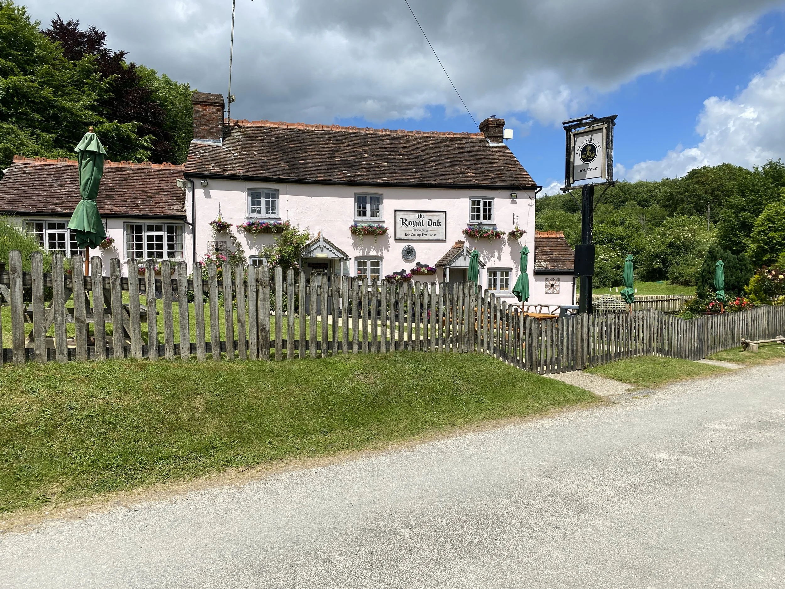
The trail starts in Chichester, with its picture postcard cathedral and central cross. The best way out of Chichester is on an old railway line that takes you towards West Dean. This route turns off some way before West Dean to get up into the hills, passing The Royal Oak pub at Hooksway.
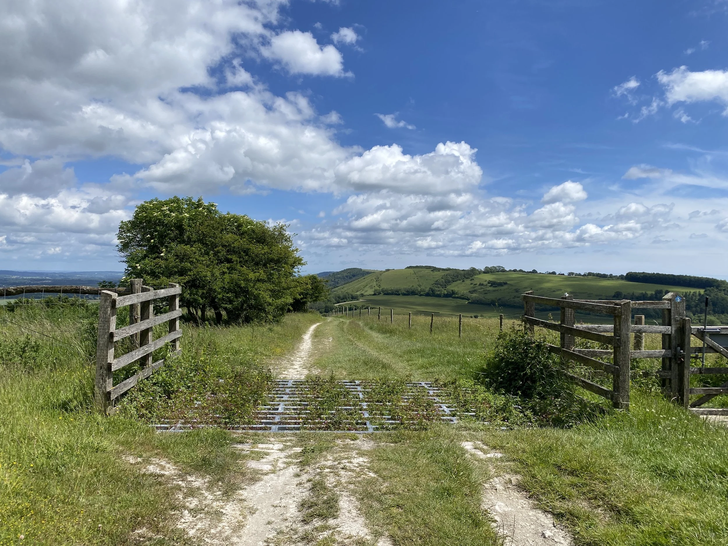
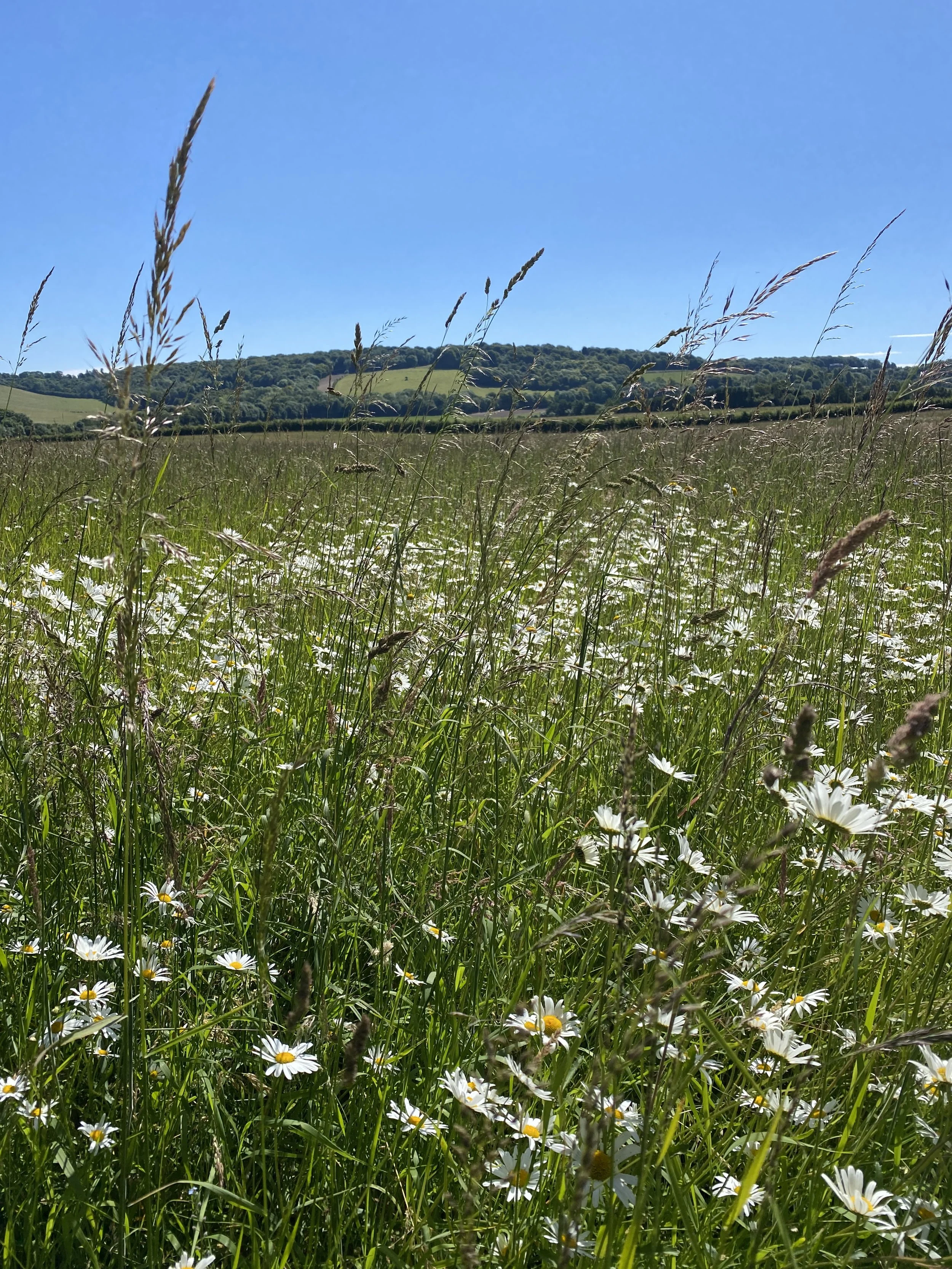
We then follow the ridge of the South Downs for about 8km with superb views to both sides, before descending towards Cocking; be sure to stop at the cycle cafe, Cadence.
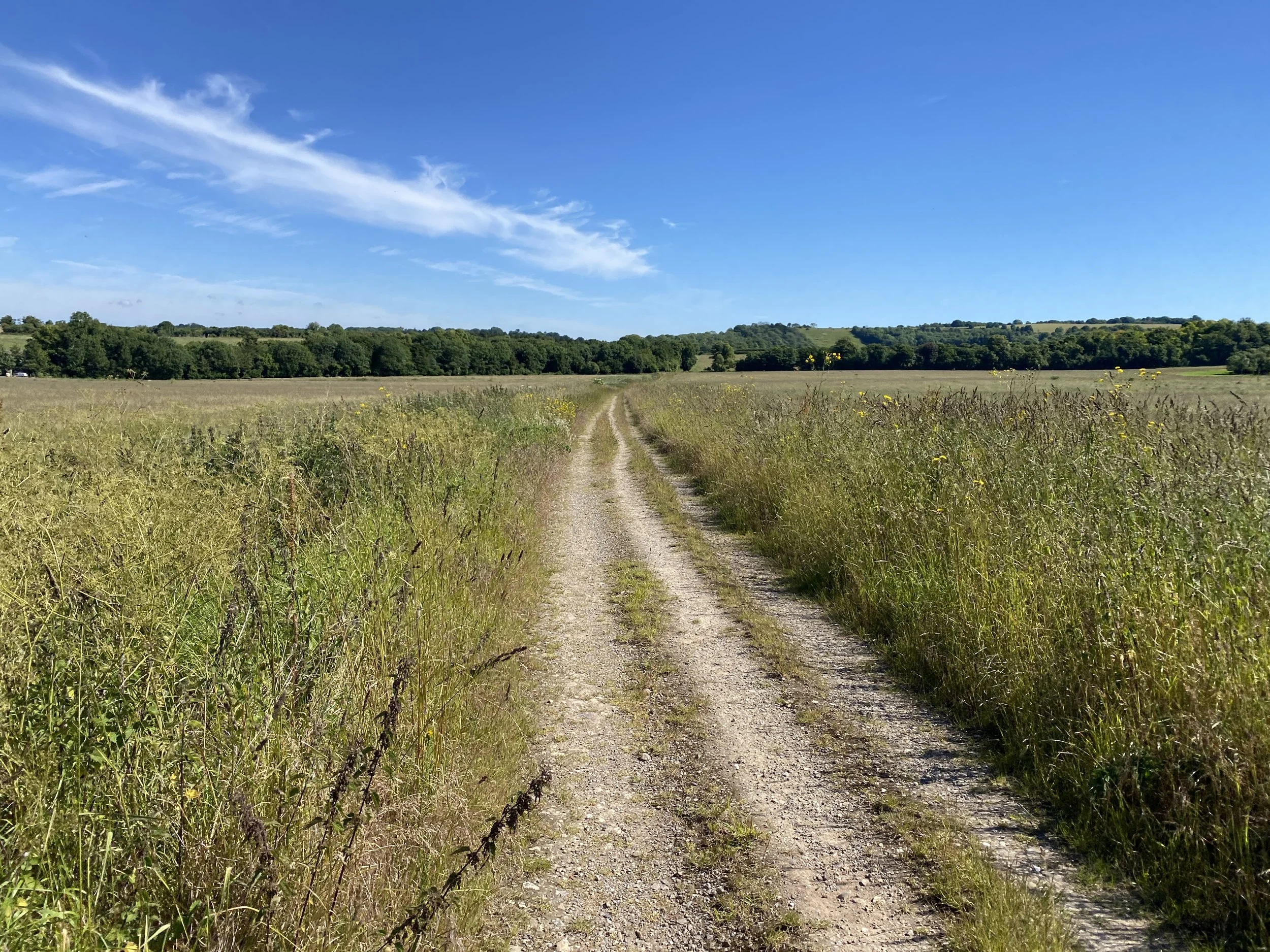
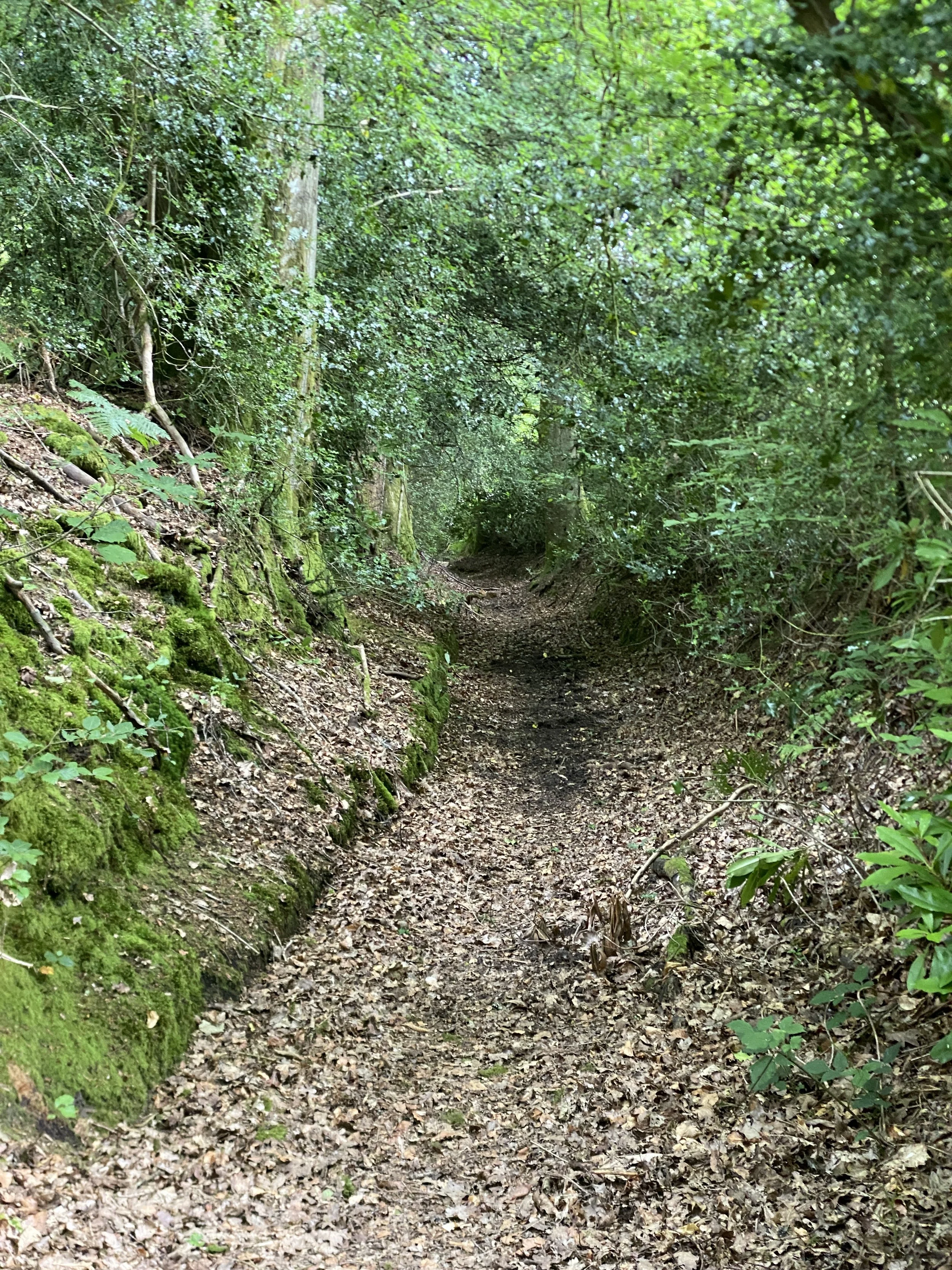
Cocking to Stedham is off road on very overgrown bridleways and open fields.
After Stedham and its ancient bridge over the Rother there’s a muddy ascent to Titty Hill and on to Liphook where we join King Alfred’s Way across Bramshott Common.
Its then on up to Hindhead and The Devil’s Punchbowl. This is the only real “climb” on the route.
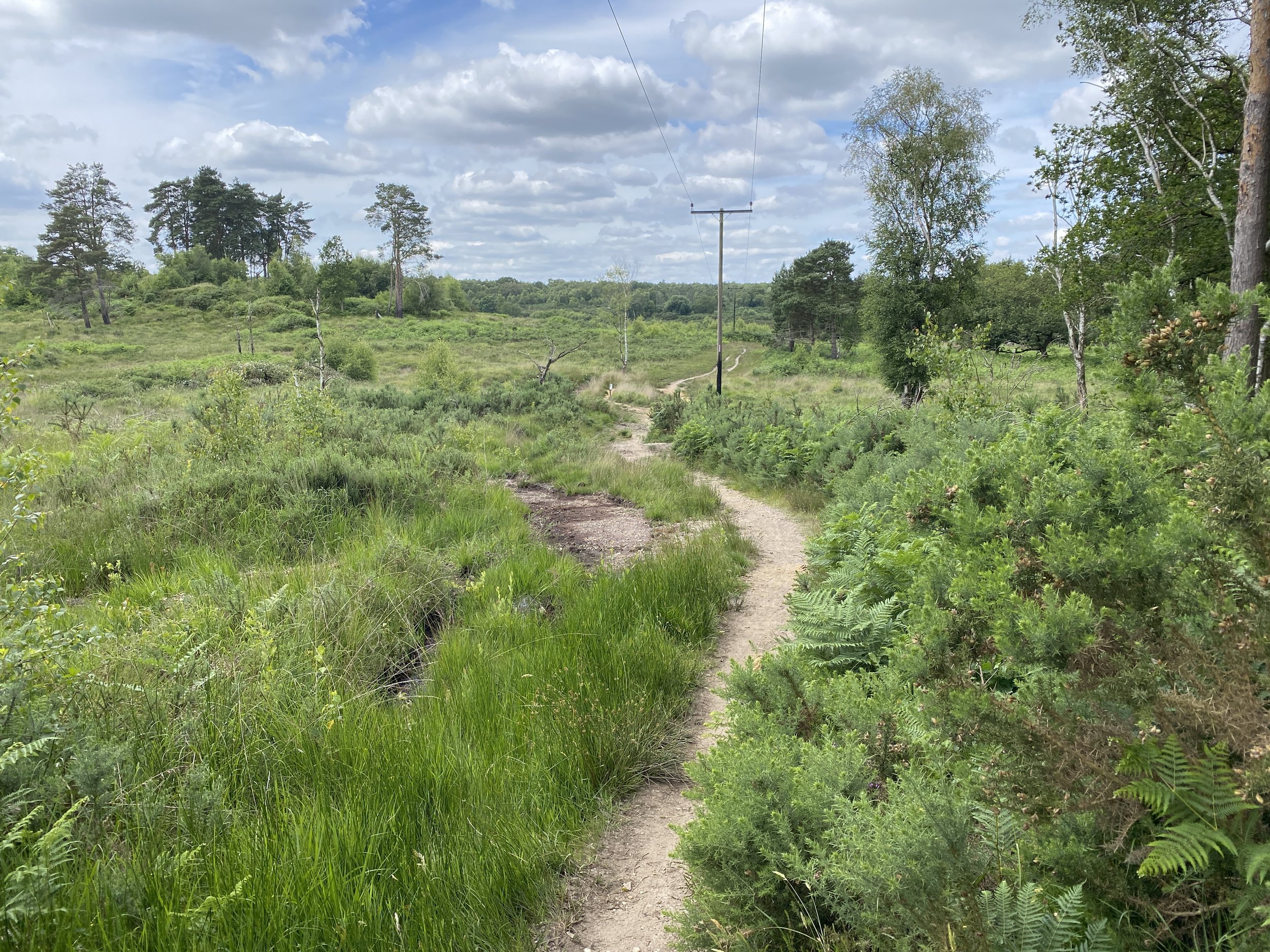
There’s then many different paths you can take towards Farnham; I can really recommend the more Westerly route called the Devil’s Punchbowl Loop rather than the official King Alfred’s Way. Shortly after is Hankley Common with a fair share of sand if you take the wrong paths.
Farnham is a pleasant town to stop.
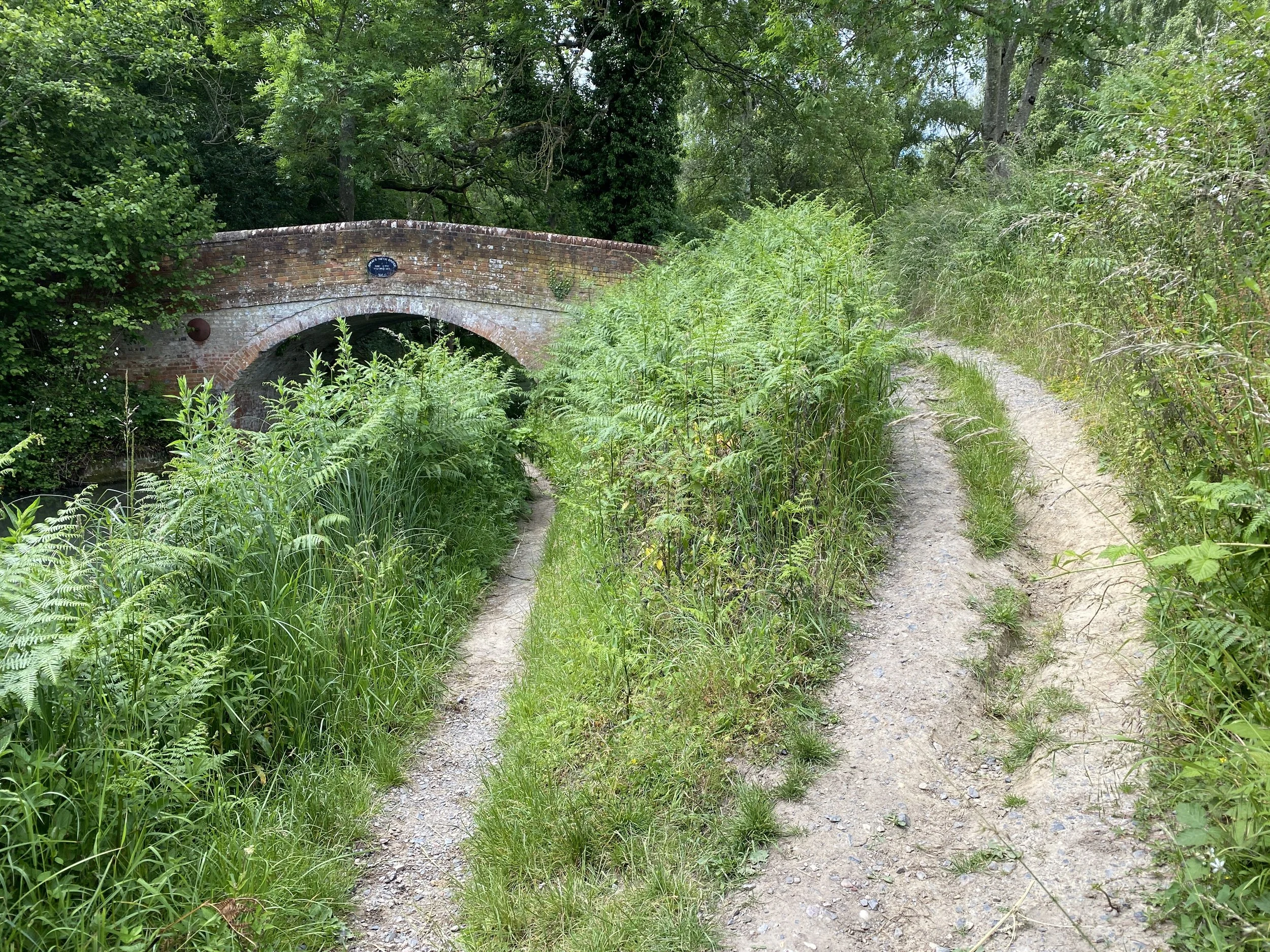
The route continues over ancient commons and unkempt heaths until starting on the Basingstoke Canal towpath just outside Fleet. Its then a very easy 8km along the side of the canal before turning up towards Reading.
This is a 20km or so stretch of varied small quiet roads, forest paths and cyclepaths. My main issue there was lack of supplies: few villages and closed pubs/cafes. I eventually found a farm shop with a great cafe.
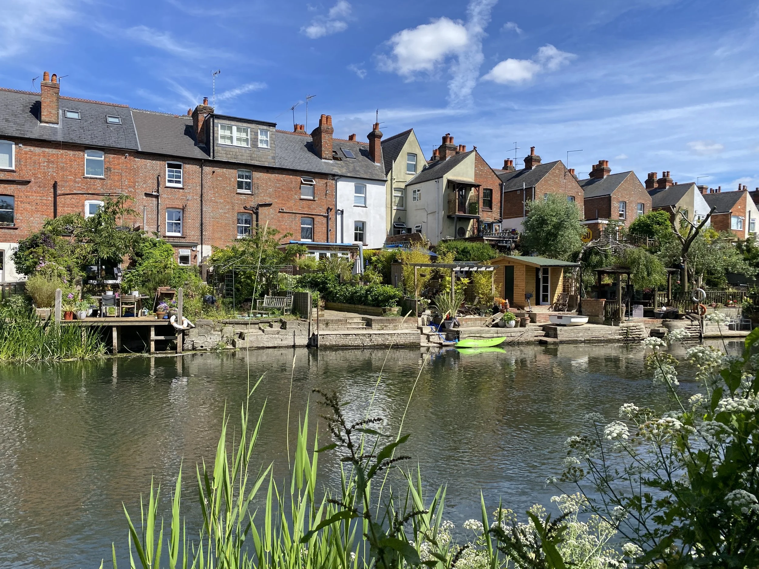
Reading itself is the largest town on the route. You enter town firstly via the business park (grim) on the edge of town and then via the path beside the river Kennet (lovely), eventually merging with the Thames. The route passes through a very modern (grim) built up riverside area with plenty of chain restaurants and bars.
Reading to Goring is on the Thames Path, but still part of King Alfred’s way which heads off to the West at Goring. Make sure to take a small detour around Mapledurham.
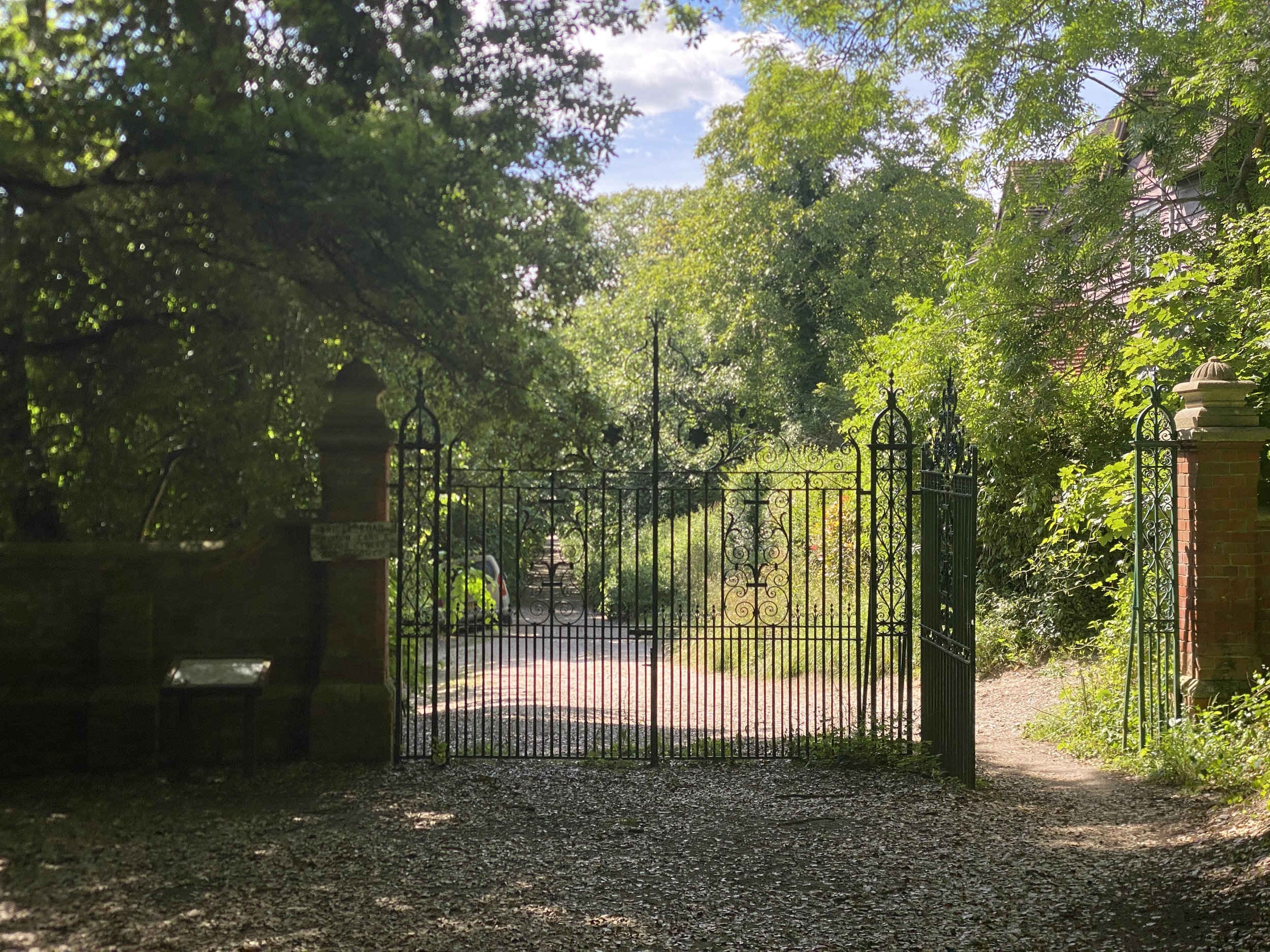
At Goring we head directly North East following the escarpment of the Chilterns, a route known as the Icknield Way, a quite isolated part of the route on a well signposted bridleway.
Eventually you come to Princes Risborough which is a tough place to love, but has some places for refreshments.
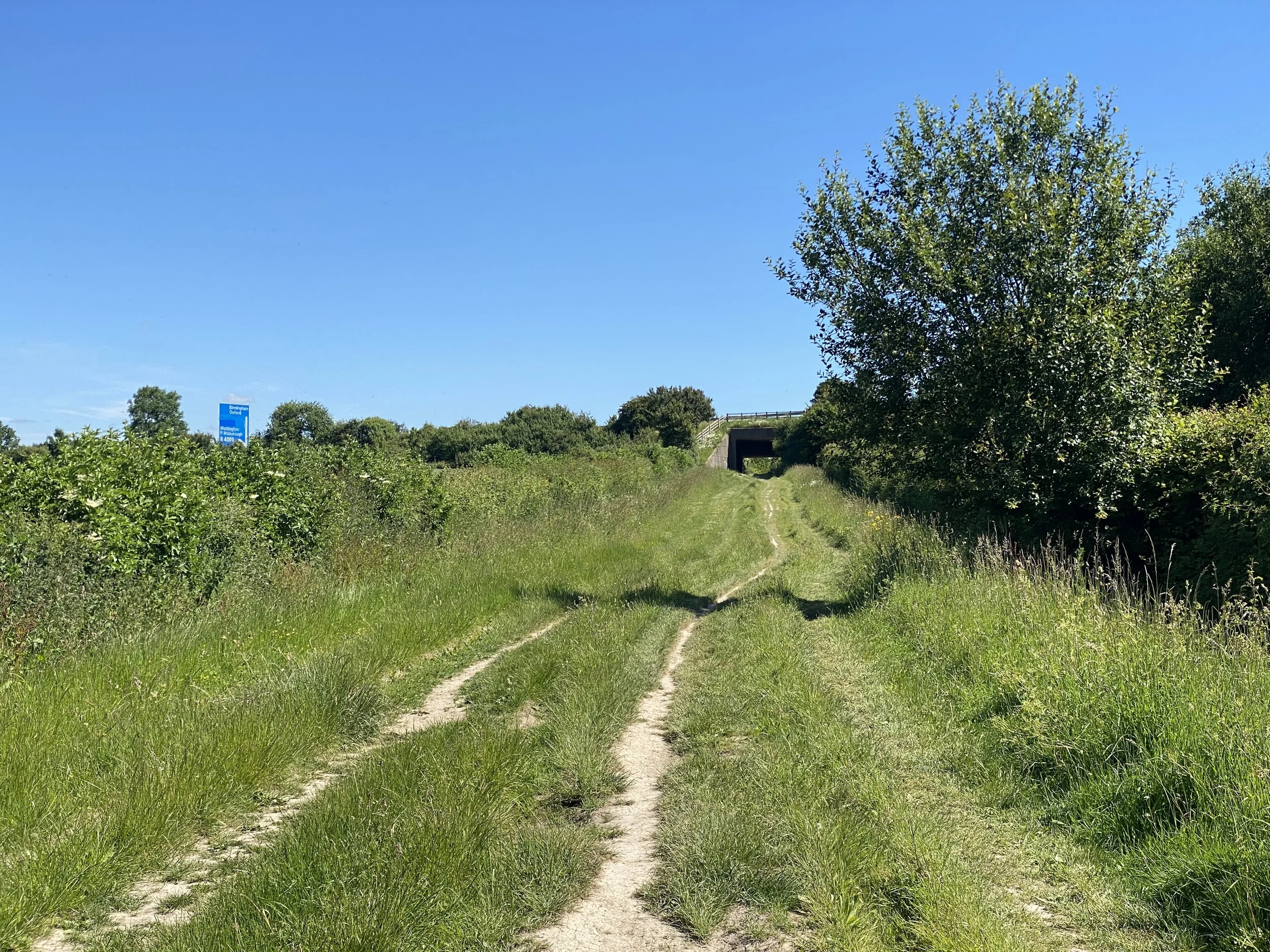
Then its a very steep path up on to the Chilterns. The route to Beaconsfield takes in plenty of boggy bridleways yet passes through a few rather trafficated villages such as Great Missenden, which I thought sounded quite nice in a Cotswold way but really isn’t.
The final few km into Beaconsfield is on roads that get much busier with unreasonably oversized cars and their ignorant owners. This was the only point on the route I felt the standard cyclist vulnerability to motor traffic.
And that’s it. This route passes through some of the most densely populated areas in Europe and yet is almost all on no or low car traffic rights of way. You’ll be out in nature yet never too far from a quick coffee or beer and a chat with some random local.
Highlights
Chichester. Easy to walk around the centre in a few minutes. Cathedral and town cross.
The South Downs. Views.
Overgrown paths. Scratches from brambles, stings from nettles. Remember these give you memories.
Pubs.
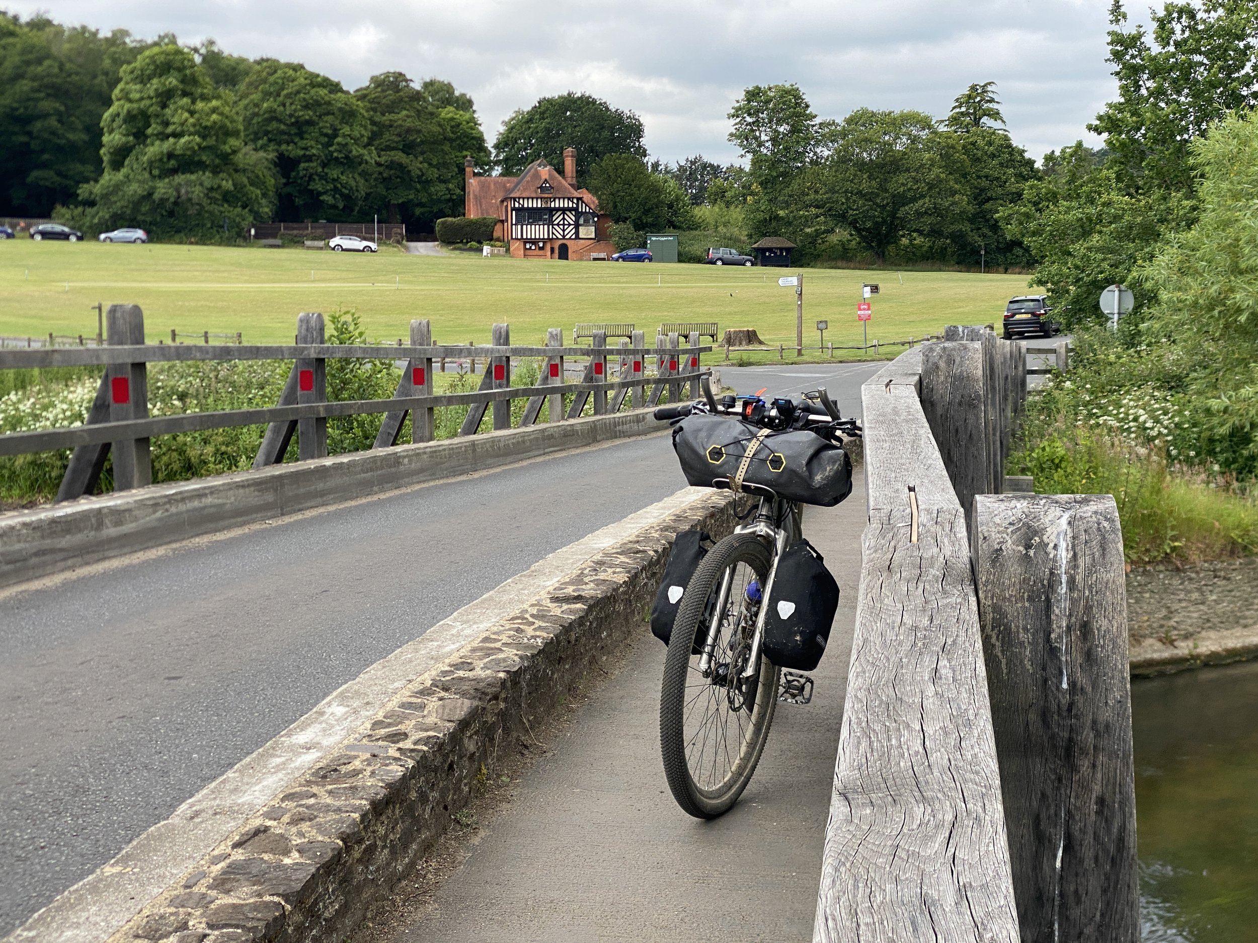
Cricket greens.
Cricket greens with pubs!
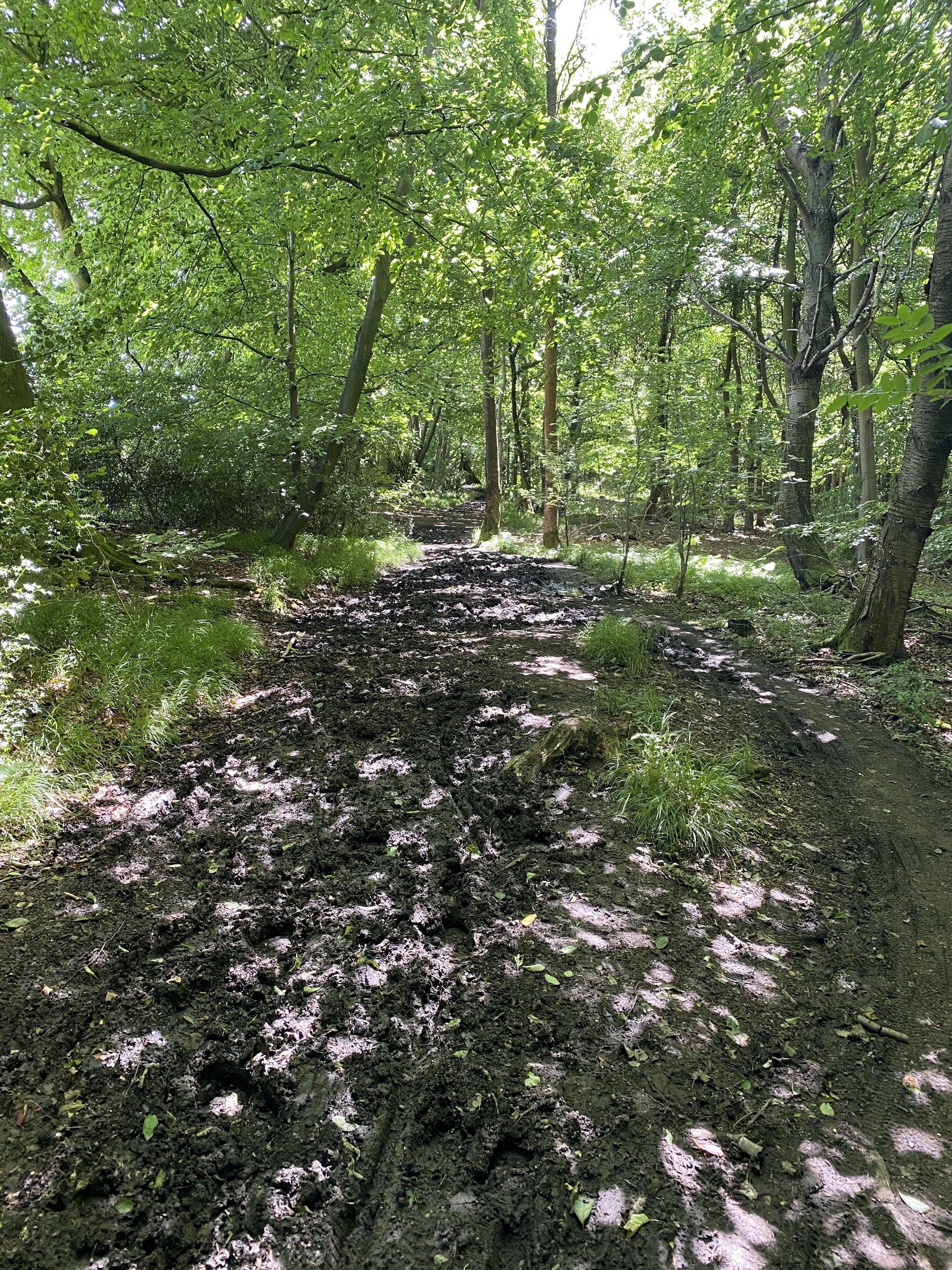
Muddy bridleways. Massive great pools of fetid black water.
Road and location names. Cocking and Titty hill. The Devil’s Highway and The Devil’s Punchbowl.
Cadence Cafe in Cocking, Cafe Twenty5 in Hindhead, Wellington Farm Shop near Reading.
Ridgeway paths with great views.
Beaconsfield is a town of two halves: the classic old town with its collection of ancient travellers inns and posh paint and kitchen shops vs the new town where people actually live.
Stats
Distance: 211km, 3 days
Climb: 2547m.
Difficulty and type of bike
A tour of medium difficulty with much depending on the recent and ongoing weather. There’s some brief hike-a-bike in the sand of the Surrey Hills but the main hazard is likely mud on the bridleways and there’s plenty of those.
I did this route on my Nua Roure, a very specific all-terrain bikepacking bike. However it is doable on just about any mountain bike or gravel bike. Its probably also ideal for an electric bicycle with good off-road capabilites, as you’re never far from charging or easy detours.
Tyre size is going to depend how much mud you want to / will have to bike through but I’d say a minimum of 40mm.
When to go
Cycle touring in the UK is clearly best in summer. I did this in mid-June 2024 following one of the wettest ever springs, so it was muddy at times.


Route
Getting there and back
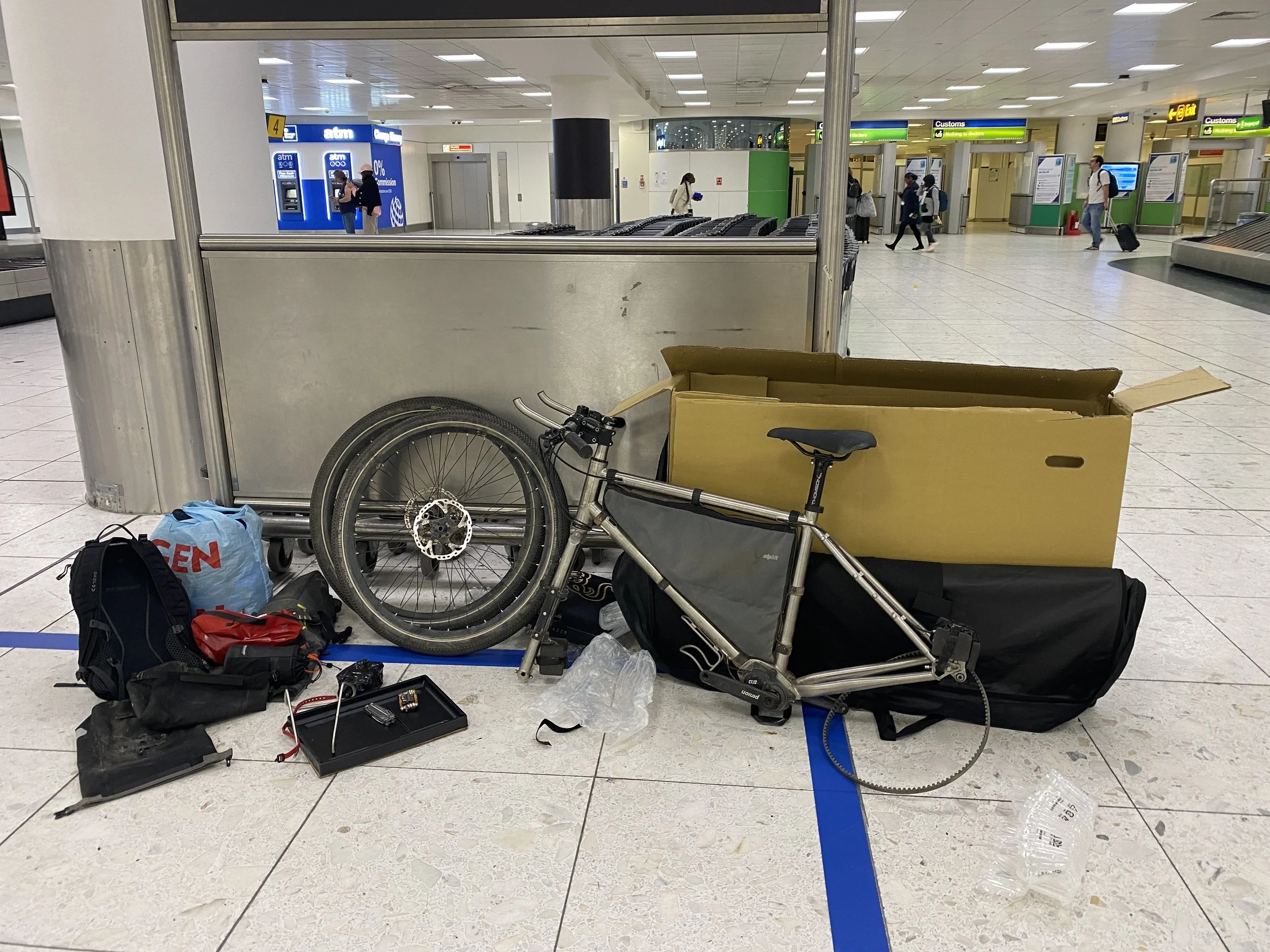
I arrived into London Gatwick, built the bike and took a direct train (they’re roughly every hour) to Chichester.
Beaconsfield is equally accessible by train from Oxford direction and from Marylebone in London.
Alternatives
If I hadn’t been visiting friends along the way then I would seriously consider this as an “airport to airport”, Gatwick to Heathrow cycle ride. Beaconsfield to Heathrow is very doable on low-traffic / off-road routes.