Bicycle adventures in the high sierras of Andalusia and Murcia.
A demanding traverse of the Prebaetic System, moving from the olive groves of Jaén through Spain’s largest protected area and into the rugged highlands of Murcia.
Part 6 of my version of the European Divide Trail
Description
Leaving the olive oil centre of Mancha Real, the route immediately heads to the mountains, tracing the edge of the Sierra Mágina Natural Park. On quiet roads you’ll pass through a couple of mountain villages, Torres and Albanchez de Mágina, separated by the Albanchez col at 1250m.
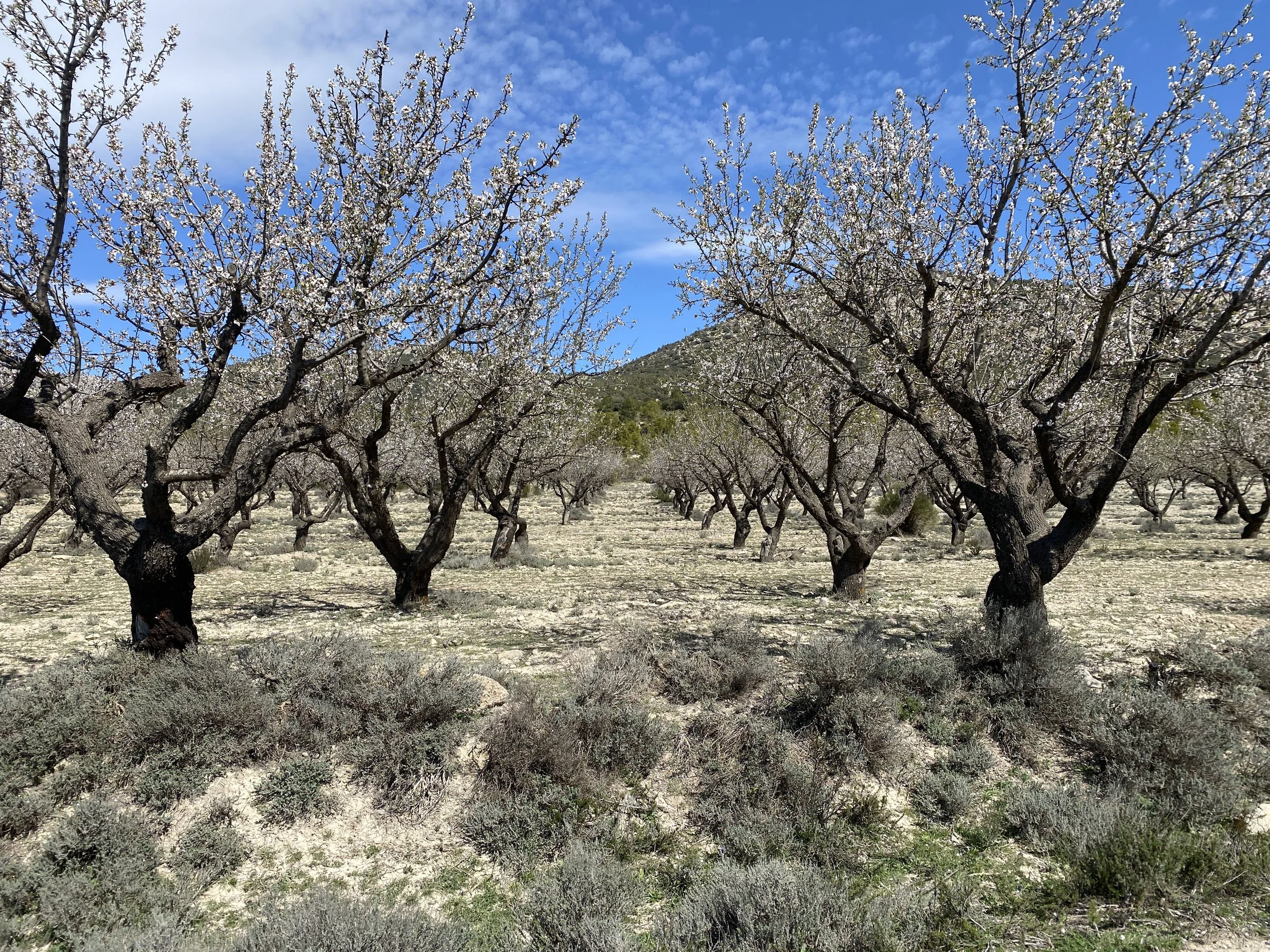
From Albanchez the route follows a gravel farm track through the olive trees to the The Cuadros River Recreational Area, an area famous for its oleander trees and river walks.
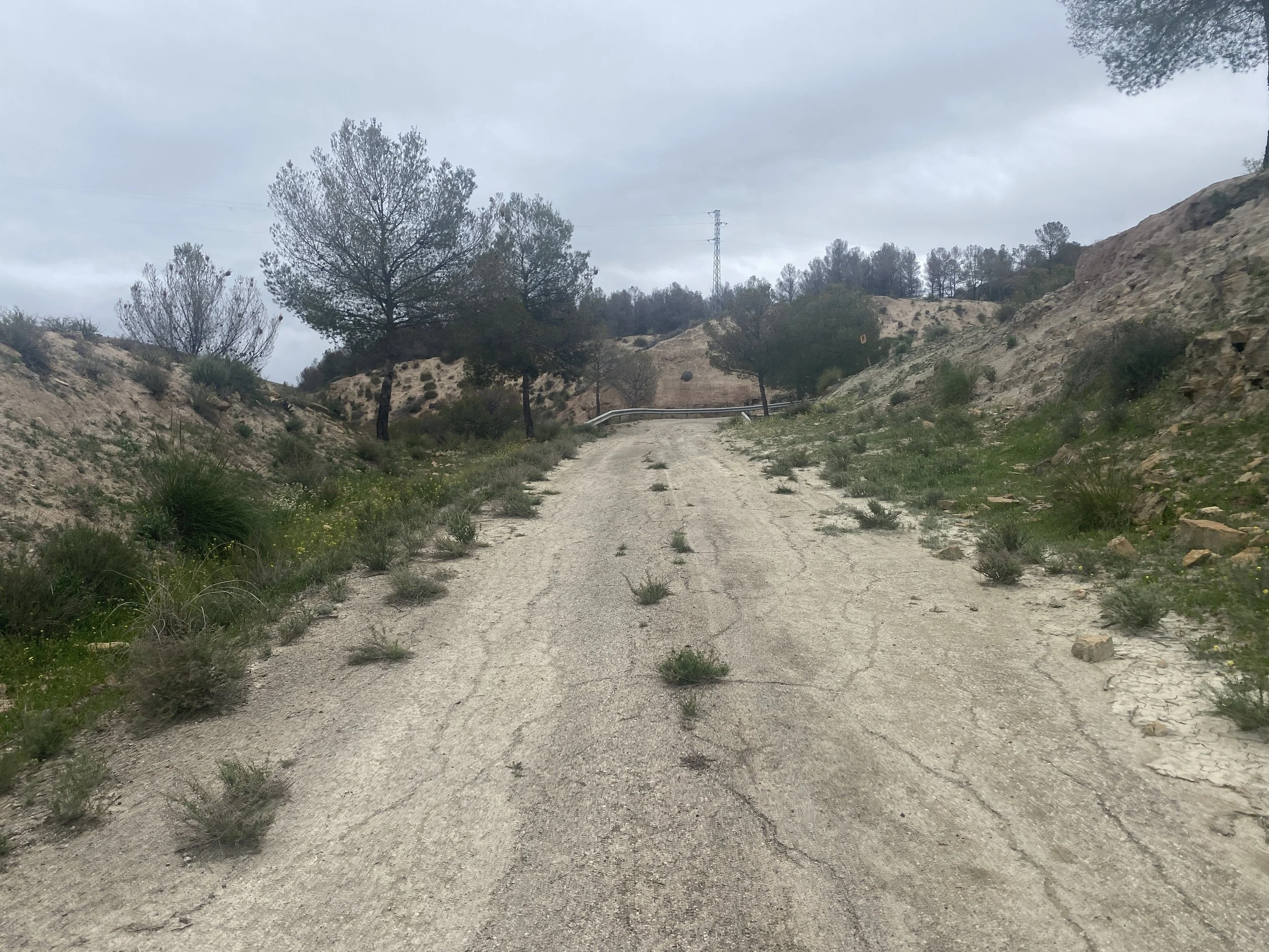
From there its a quick steep single track up to a bigger road for a very short trip into Jodar.
After Jodar I originally wanted to take the direct off-road route to Larva, but the weather turned. My plan was a section of the route that had no previous “attempts” on Strava Heatmaps and from the geography I could see at least two river crossings. So I took a slightly different route (actually following the European Divide Trail) through the olive groves: this wasn’t a great move because the mud in these areas is horrendous (see sidebar “Hell” mud). So I abandoned that too… and ended up on the relatively quiet roads all the way to Larva.
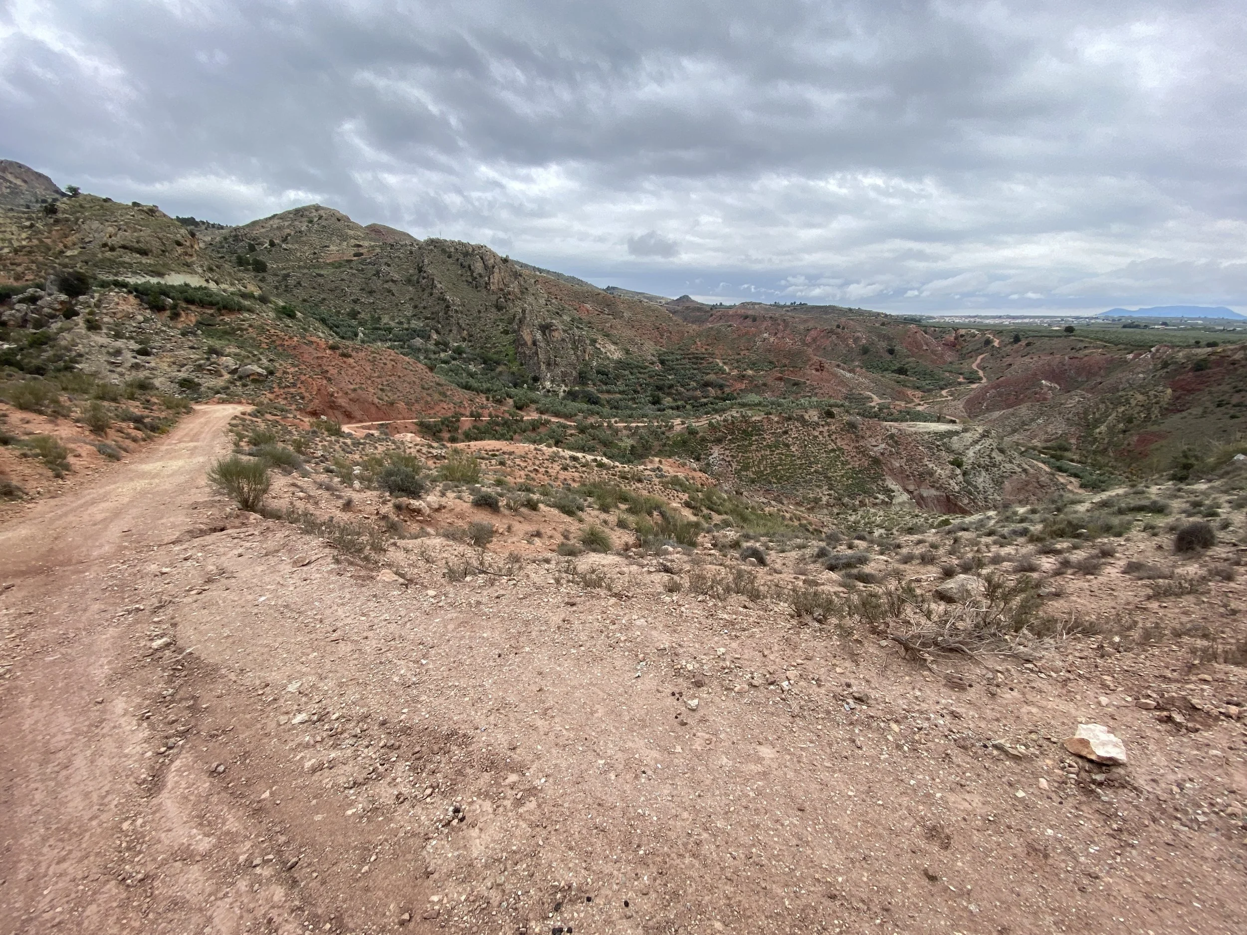
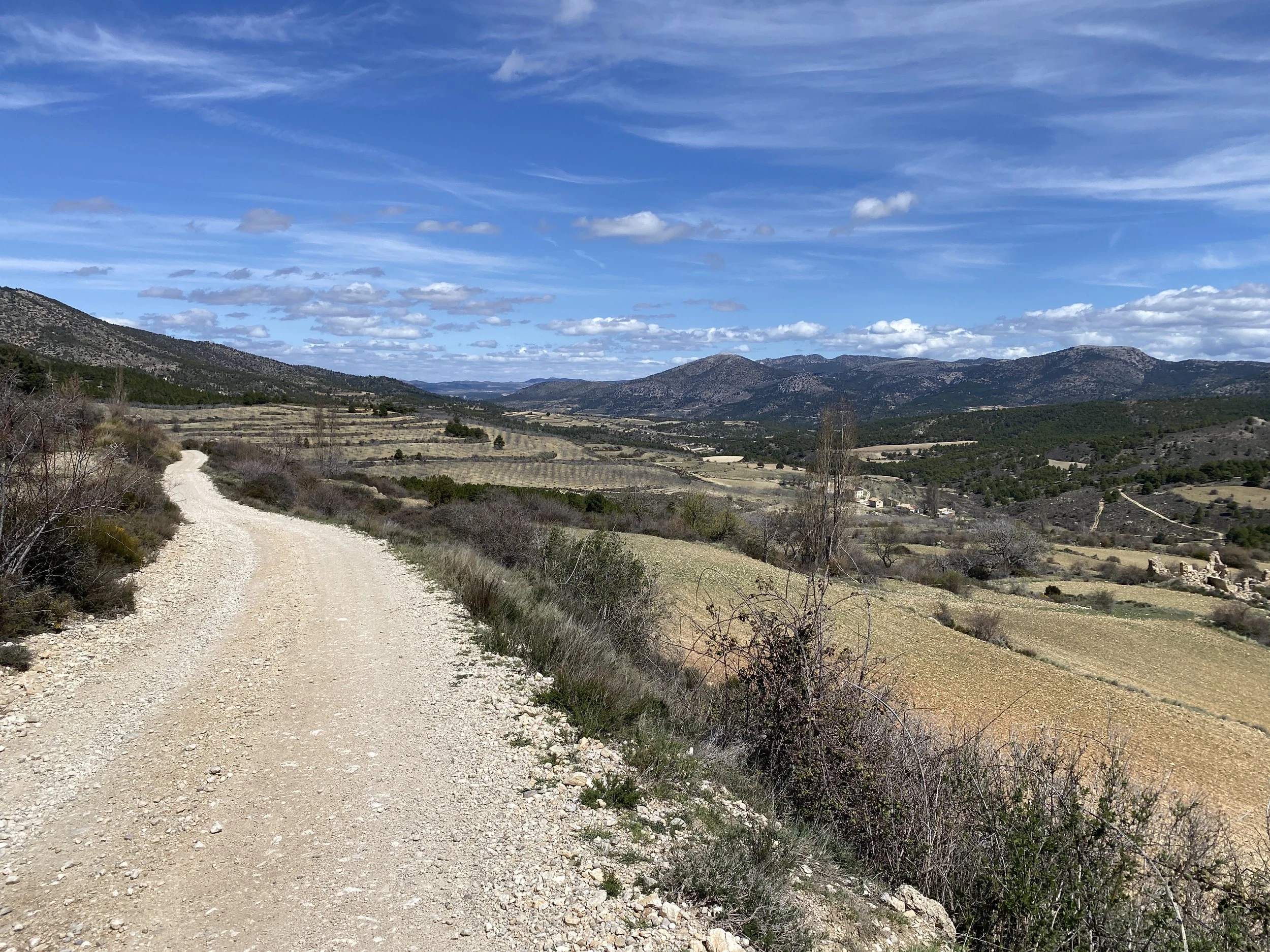
After Larva, the road doesn’t end, but it kind of does: you’re cycling along an empty stretch of relatively unmaintained tarmac and then suddenly there’s a plant growing in it.. and slowly the plants get bigger and the tarmac becomes more broken. It’s clear that the road from Larva over towards the river (Rio Guadiana Manor) isn’t really a road any longer. It transitions in and out of gravel and poorly maintained surfaces as it winds up and down through the scrubland in this area (no olives).
At the river, there’s a few olive farms and then you’re on the big road (A-315) for 3 km until the turn to Ceal. Out of Ceal is apparently a climb used in the Vuelta a España, but it must have been many years ago because yet again the road is crumbling and really only suitable to gravel/off-road bikes now.
Next stop is Hinojares, a lovely little town with a great “social club” that anybody can come along to. Its popular with locals, Brexit escapees and cyclists.
From Hinojares there’s yet another climb on quiet roads until the turn off into the “red desert” before Pozo Alcon. Since the weather wasn’t great when I did this, it didn’t really feel desert like but it was indeed red and made for an interesting change in scenery.
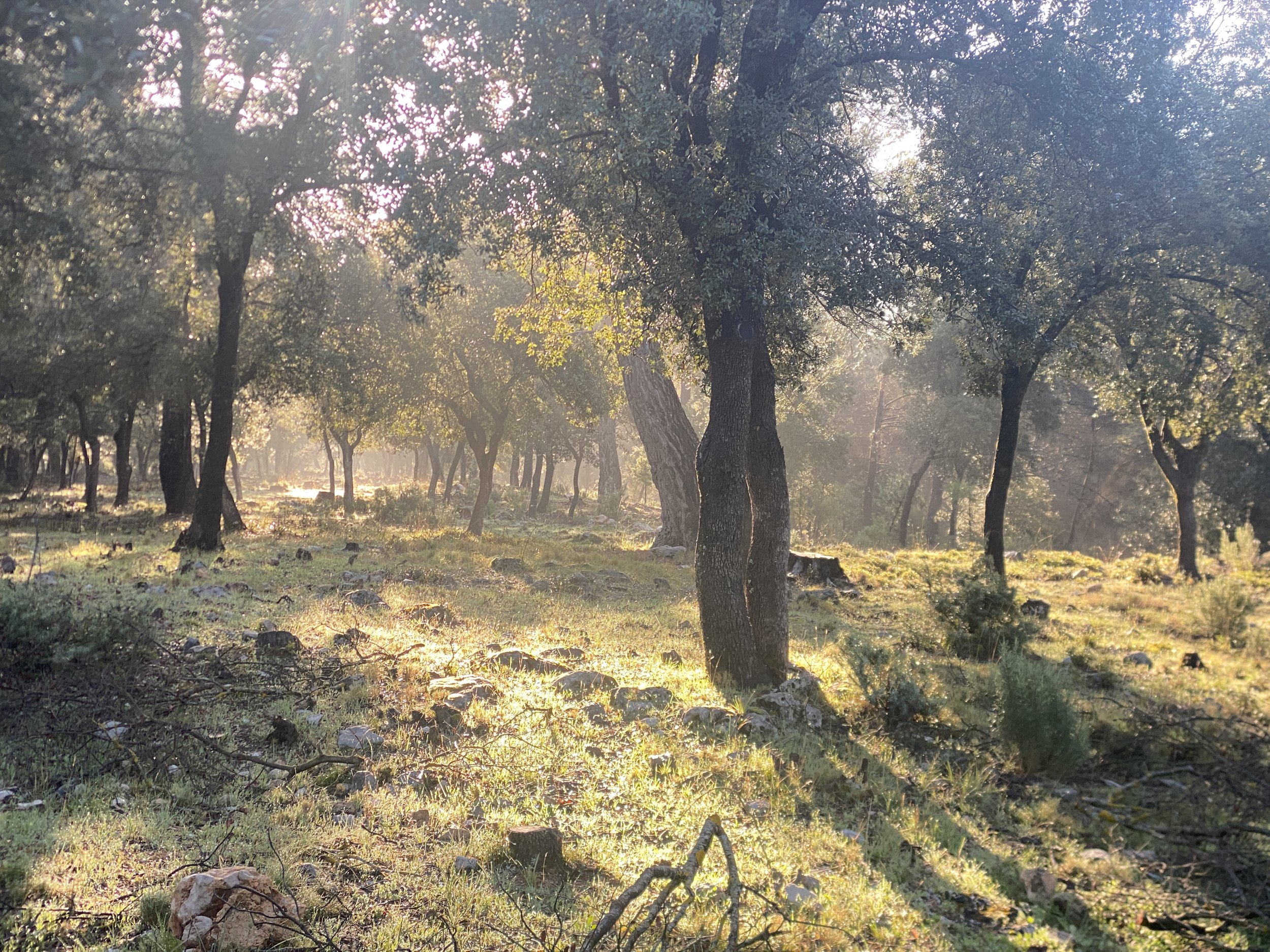
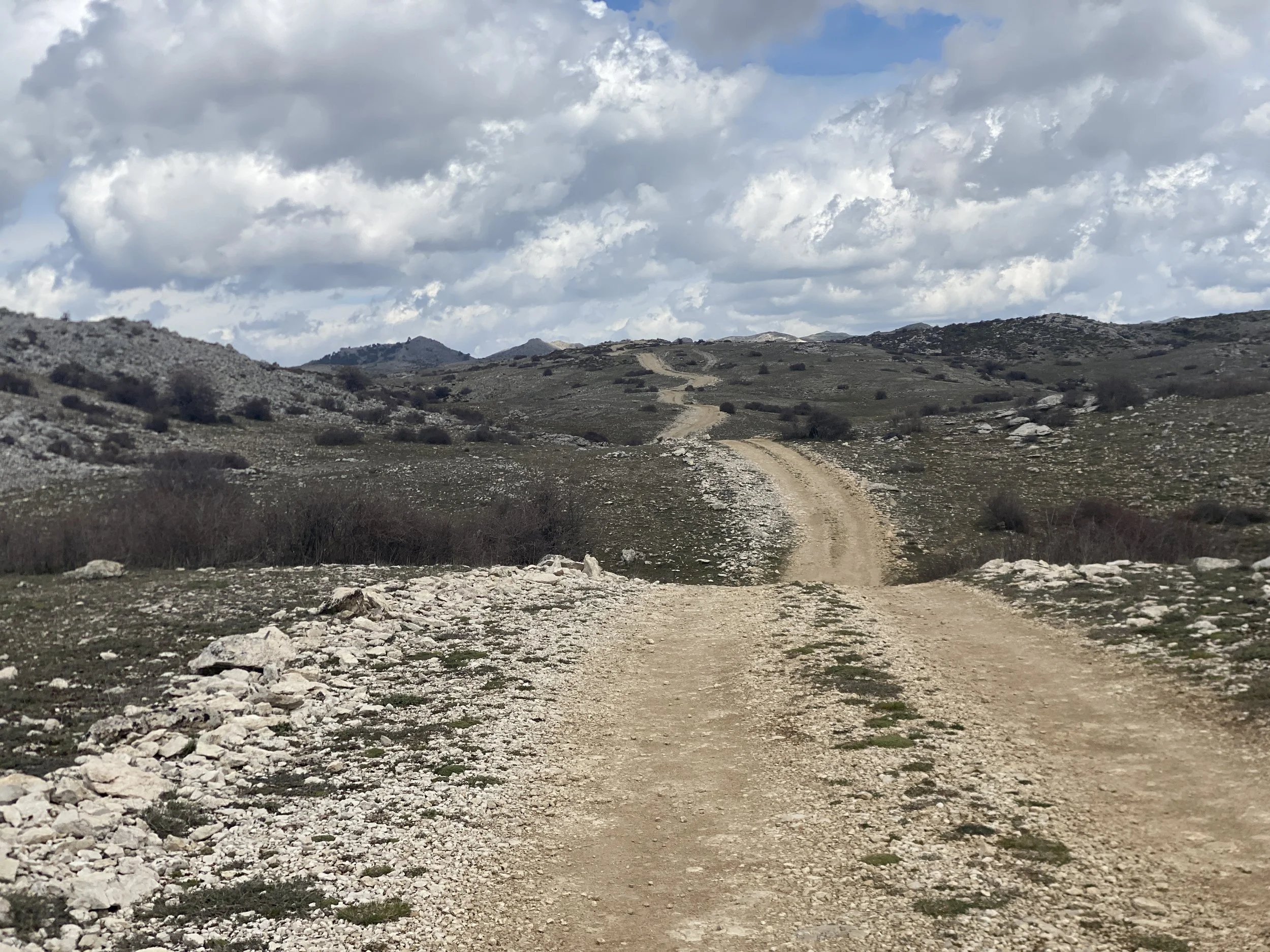
Pozo Alcon marks the start of the 1000m off-road ascent into the Sierras de Cazorla, Segura y Las Villas Natural Park. Initially its olive groves and pleasant forests, but soon turns to gravel tracks that in places transition to stony plateaus. Be aware that in wet or damp weather a few km of the tracks on the way up turn to “Hell” mud (again see side bar).
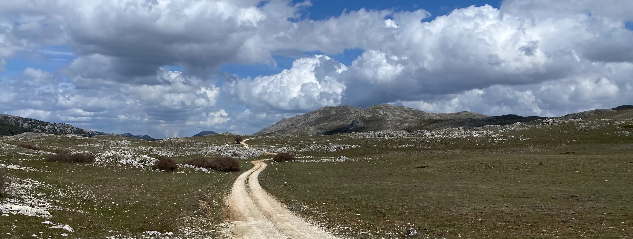
The Campos de Hernán Perea are a vast, high-altitude limestone plateau, Spain’s largest protected area. They’re above 1700m and the coldest place in Spain in winter; they’re barren and desolate and like nothing I’ve ever seen. This feels very much like the roof of Spain.
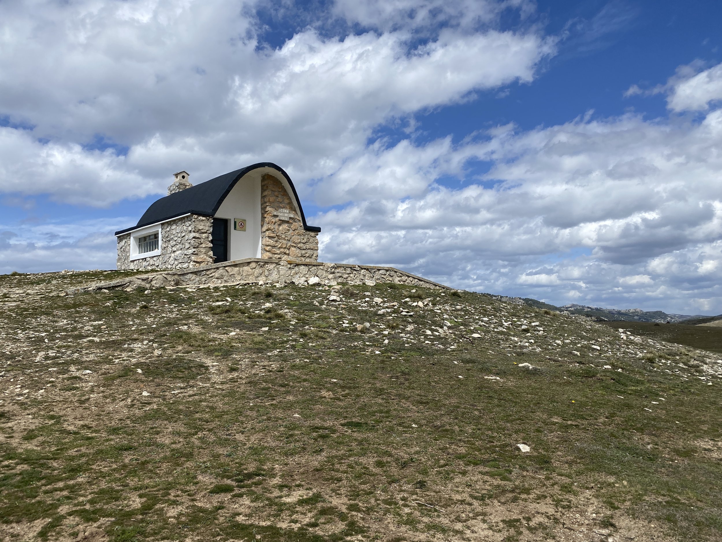
Including the ascent, the trip across the Campos to the next stop in El Cerezo is around 70km, with 1500m of climbing. There are scattered refuges that may well have water but the only other stop (which I skipped due to “Hell” mud delays) is the highly recommended El Cabrero, a 1-2 km detour about half way up the ascent.
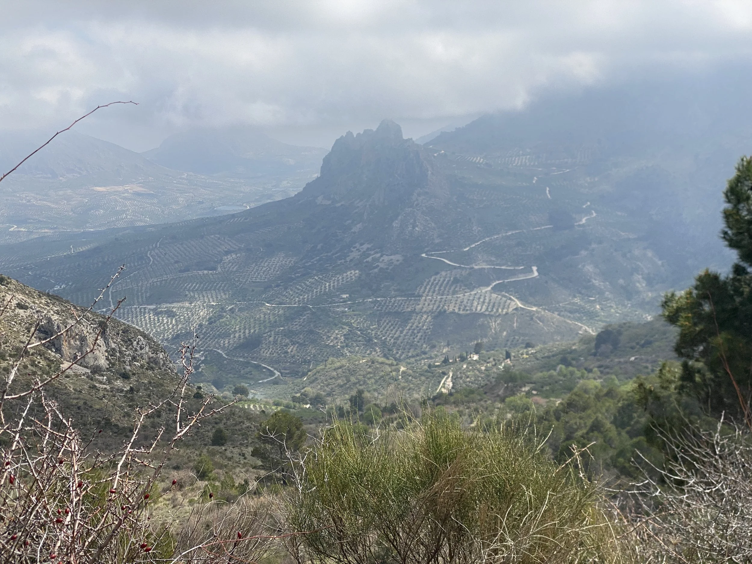
From about halfway across the Campos you’ll start to see glimpses of the imposingly massive 2382m La Sagra. These glimpses only really stop after about another 100km of riding. So it forms the backdrop to a good portion of the route.
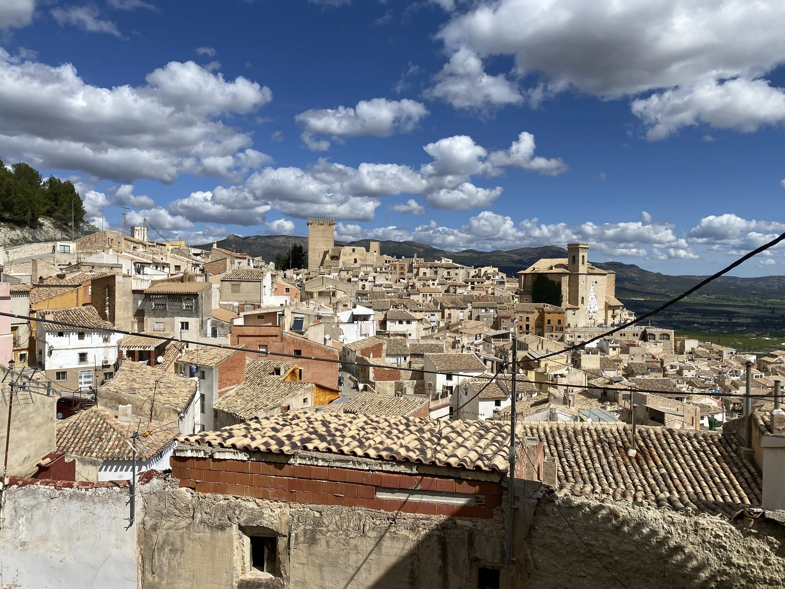
I stayed overnight in El Cerezo, a small mountain village, likely more visited by tourists in summer than early April.
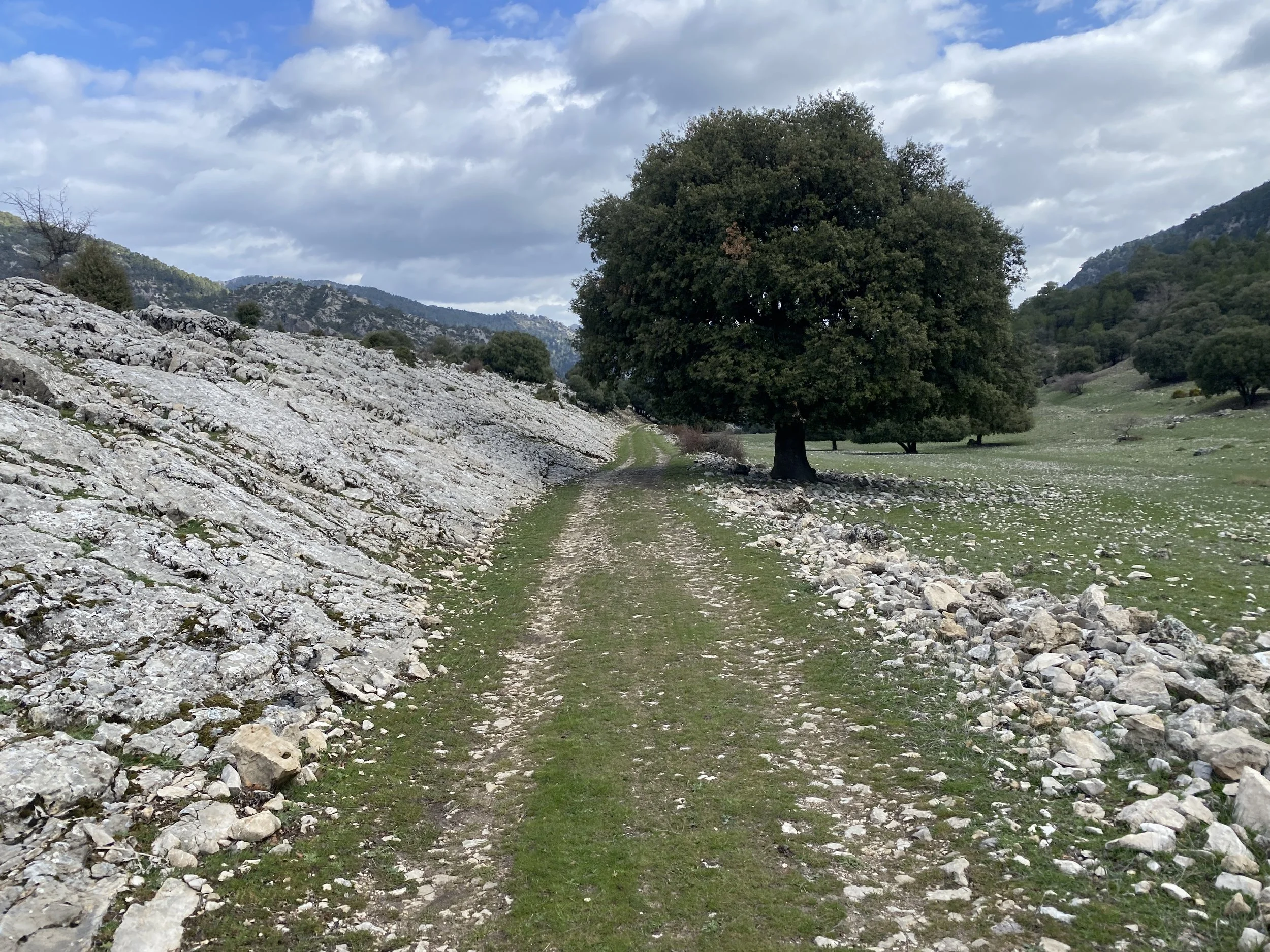
From there the route descends on a quiet road towards Santiago de la Espada, but turns to ascend for 20km / 600m on a road towards Puebla de Don Fadrique. Shortly after the top, there’s a few options for turning off (you’ll have to choose your route carefully here… there have been some closures) to get over to the tiny road around Fuente de la Carrasca and then onwards to Canada de la Cruz, where you can get supplies.
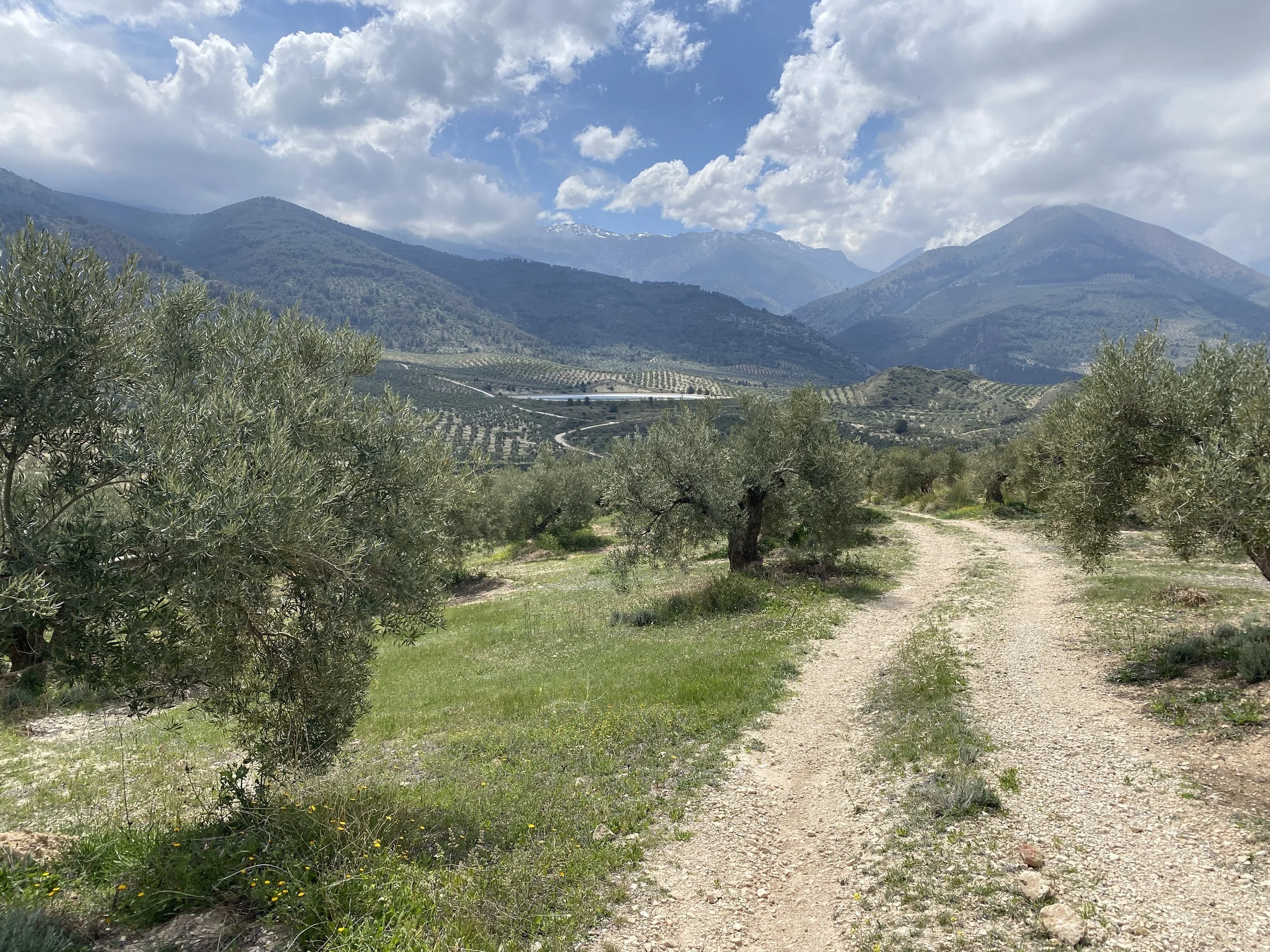
There’s then a 7km ascent on a quiet road through the Reserva Natural Sierra de las Cabras before a wonderful sweeping 15km gravel descent and short road section up to El Sabinar. From there it’s a couple of km on a relatively busy road passing through the lavender fields at Campo de San Juan.
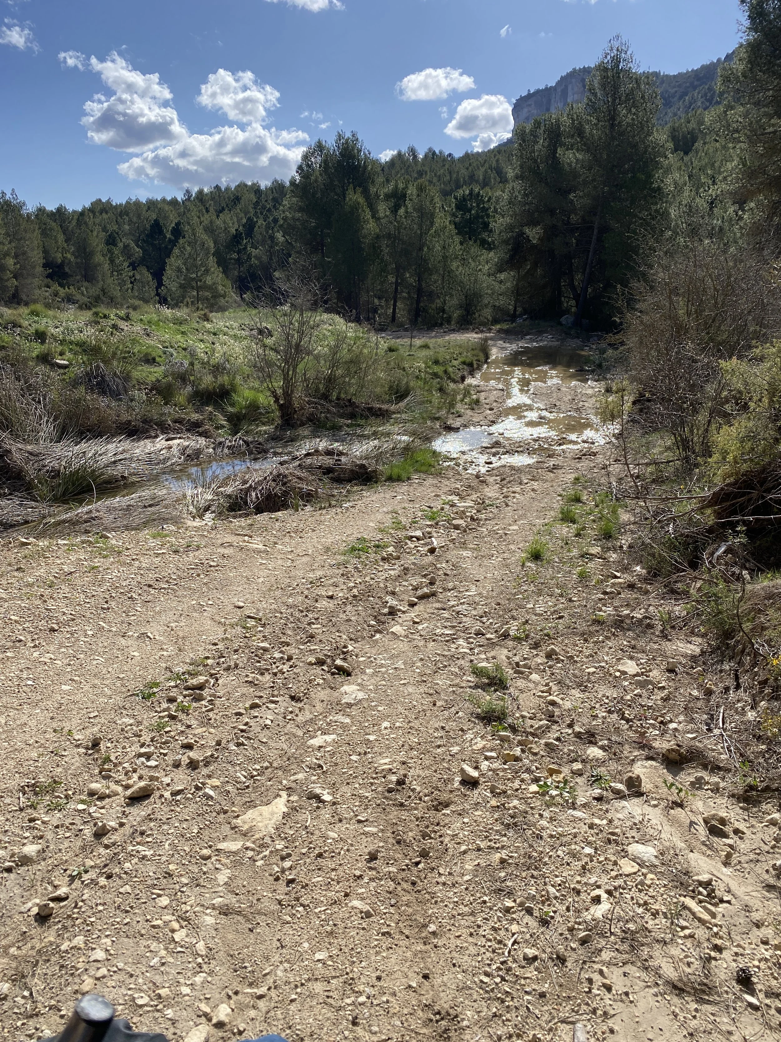
After the lavender fields, you’re following the Río Alhárabe towards the historic town of Moratalla. It can be quite tough going: rocky tracks and high risk of flooding (be sure to check the weather).
Statistics
Distance: 291 km, 4 days
Climbing: 5460m
Terrain: High mountain plateaus, gravel tracks, and minor roads.
Traffic: Negligible
Difficulty and type of bike
This is a strenuous route. The sheer volume of climbing (averaging over 1,300m per day) combined with the potential for difficult surface conditions makes it the "Queen Stage" of this trip.
While the "hell mud" is situational, the remoteness of the Campos de Hernán Perea requires self-sufficiency. A gravel bike is suitable, but wide tyres (50mm+) with good mud clearance are strongly recommended.
When to go
I did this in early April, perhaps only a couple of weeks after the last snows up on the plateaus. I’d probably not go earlier than that.
Spring offers the best visual rewards, particularly with the wildflowers and green valleys.
Summer will be very hot lower down and there’s no shade on the karst plateaus.
Autumn is likely fine, though watch out for flooding.
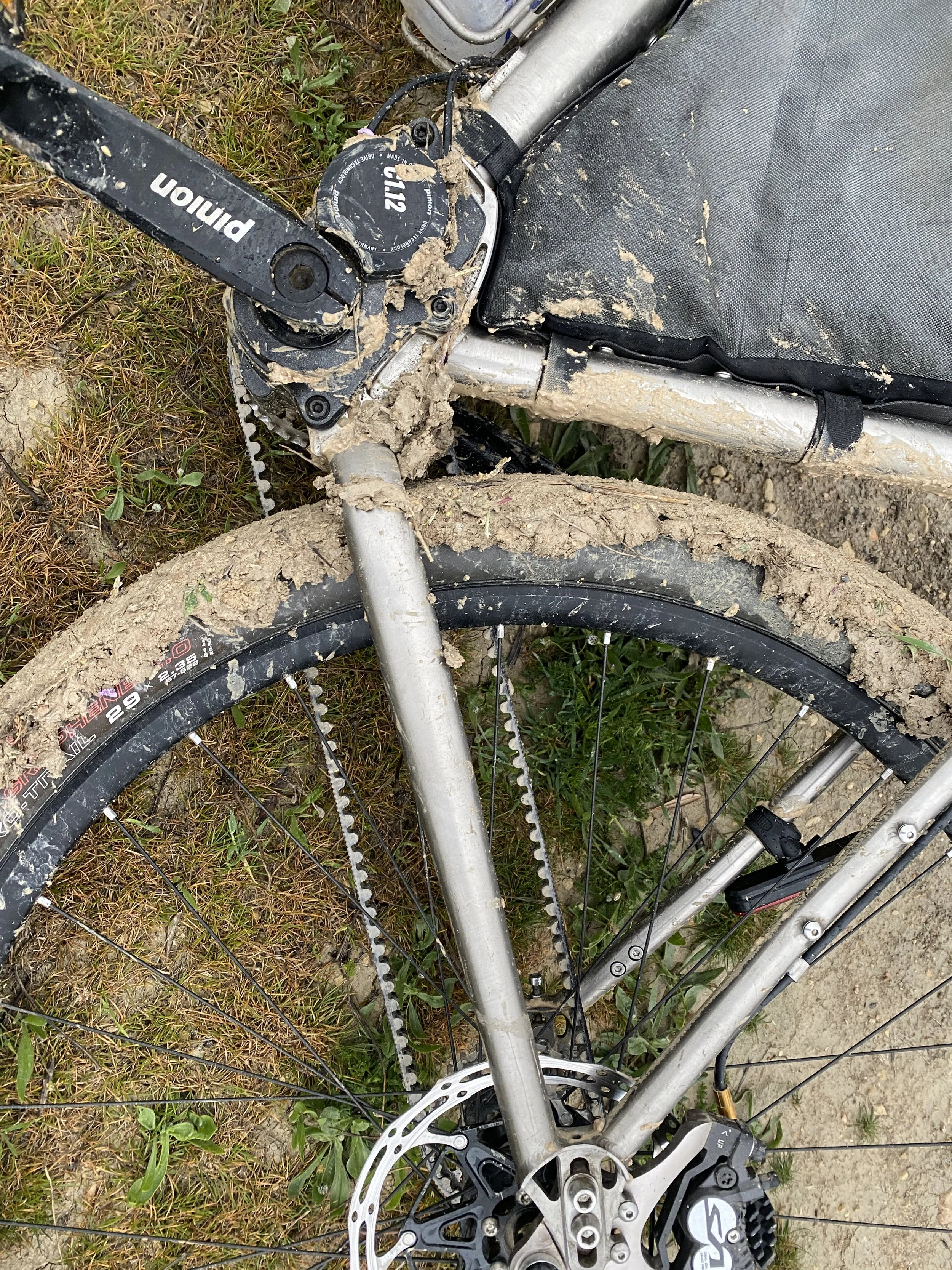
“Hell” mud
As I was starting the early morning ascent to Campos de Hernán Perea, I saw a cyclist coming down towards me, thinking “wow he must have started early to be going down already”. It turned out that he did start early, some hours before me in the middle of the night, but from lodgings not far from mine.
He was not a happy bunny and yet he looked ultra professional (slim unlike me, proper cycling clothes, fancy gravel bike with all the trimmings). He said that he encountered “Hell” mud on the ascent and had been “pushing through it” for hours. He’d decided to turn around, telling me that if I went that way I “could be stuck for days”.
So what is “Hell mud”?
My best guess/description is that it is clay powder that has just got damp. When you ride over it even tiny amounts, such as on a dusty track, stick to your wheels and doesn’t fly off because its so sticky. Initially its just the wheels so the bike feels heavy, almost like it has a puncture. But after a while the mud will start scraping off and attaching to the drive train.
The issues with “Hell” mud.
Firstly braking isn’t available on wet clay when your tyres are now also made of wet clay. I’ve fallen off a few times in different places because of this, the vinyards in Champagne being a particular offender.
But secondly when it starts infesting the drive train, you’re in trouble. The bike is already very heavy with kilos of extra clay but now its also difficult to peddle and there’s horrific grating sounds coming from your gears and cranks.
Fortunately my current bike has a fully enclosed Pinion drive (partly because I learned about “Hell” mud the hard way) so I simply ignored the “Hell” mud guy and went on. I will say the Pinion worked fine and the main issue initially was a few km where the tyres just sucked up mud and I had to carry a stick to scrape them down every now and then. However there was a section later on in the ascent where the mud got deeper and the Gates Belt got dislodged: I guess stones creeping into the crankset. My lesson here is: stop if you hear loud grating, even with a Pinion drive. [I’ll write another article on Gates Belt issues after they get dislodged… but short story is they can snap unexpectedly].
Anyhow… right after the deep “Hell” mud there was a stream to wash everything away and after that I think the soils switched away from clay and there were no more issues for the trip.
Highlights
Sierra Mágina. There’s speactacular views of this limestone massif when looking back towards Jaén.
The small villages of Torres and Albanchez de Mágina. Welcoming, yet working places. I can recommend a quick bite to eat at El Rubicón in the square at Albanchez.
Jodar felt very much a working town. Large queues outside the lawyers offices (why, I don’t know). What I loved about the town was the two dogs, almost like a married couple, wandering freely around the town: I bumped into them a couple of times, once in a shop!
Larva is a very quiet place, a long way from other places. The bar and shops open only sporadically so don’t expect much here.
I loved the crumbling roads between Larva and Hinojares. Car free, but gave a perspective on the effort required to maintain proper roads in such a big country.
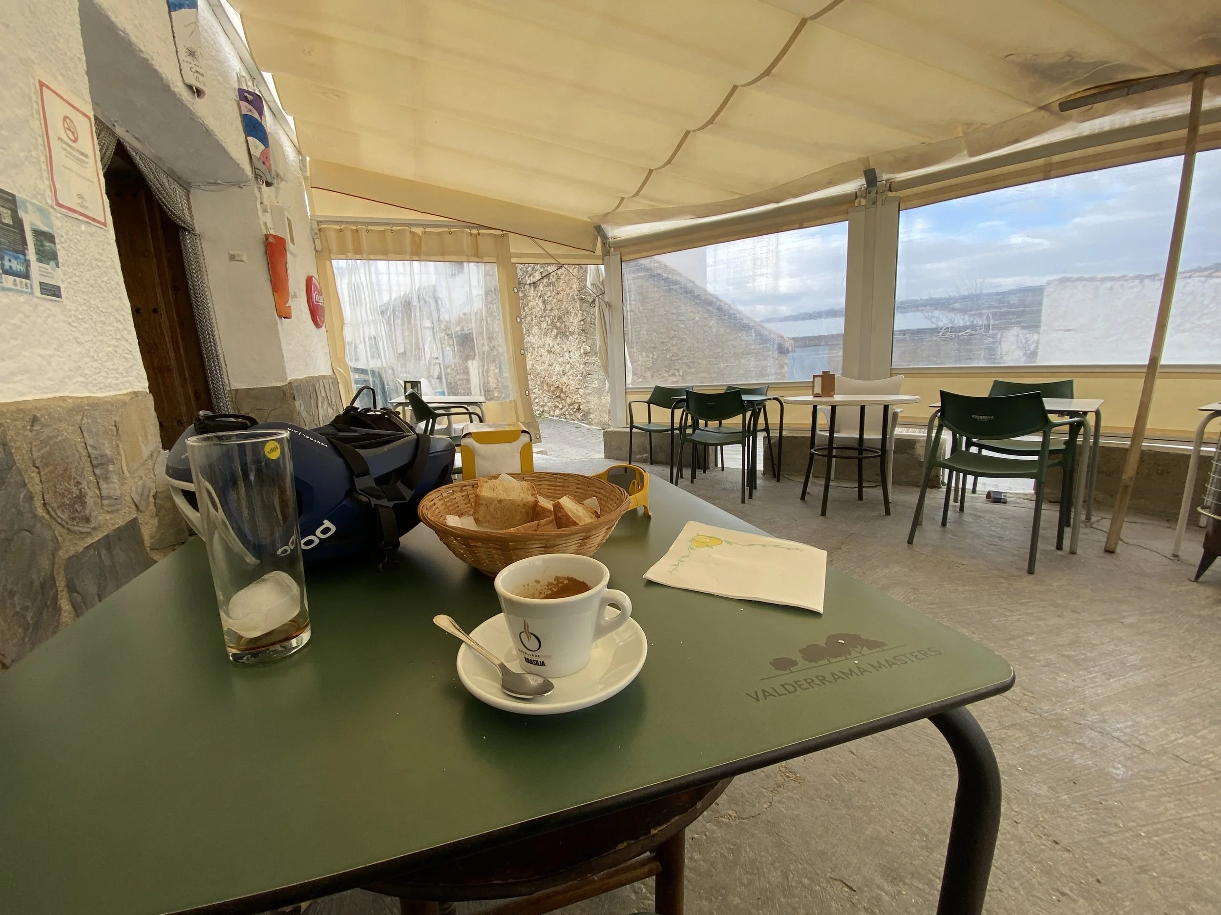
The “social club", Café Bar Social, in Hinojares was a highlight for food and people to talk with.
Campos de Hernán Perea. A bucket-list location. The stark, treeless beauty of this high plateau is something I’ve not encountered before. Prettier than Scotland, and more accessible than New Zealand.
The authentic hospitality I received in may places. For example when I turned up to Bar Sara in El Cerezo for dinner, I was the only non-local, and Sara quickly got her daughter to move people around so that I could have a nice table. The place is just one room and you’re close together; it could have felt like that scene from American Werewolf in London, but it was completely the opposite with people being so warm.
You’ll see glimpses of the dominant ridge of La Sagra for around a third of the ride. Each view is different.
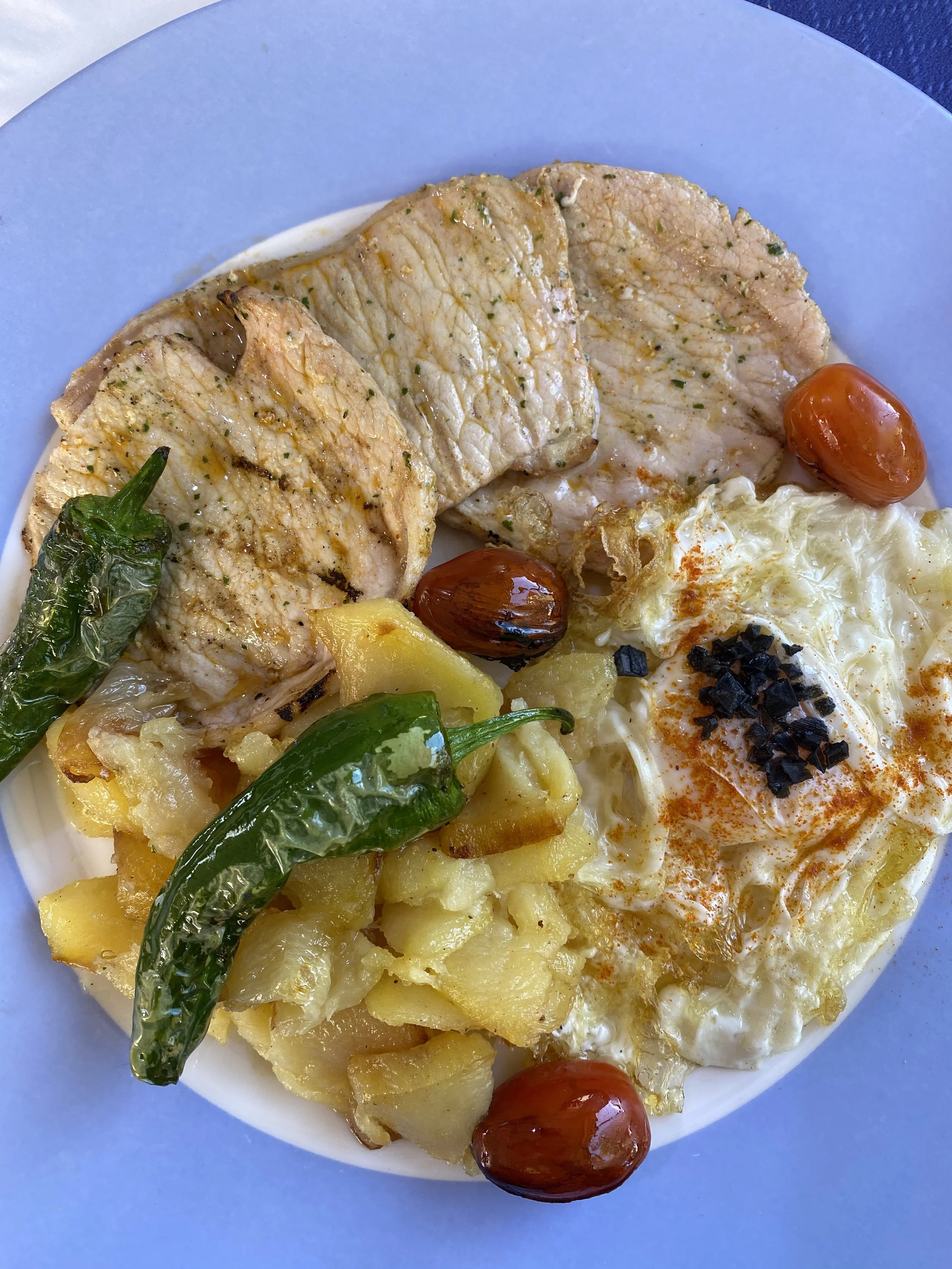
The food in Murcia was amazing: from a simple lunch in Canada de la Cruz to the gastronomy of Casa Pernías on the lavender fields of Campo de San Juan
River Alhárabe. The descent toward Moratalla following the river offers an insight into the dangers you might experience in really bad weather.

Route
Getting there and back
There’s no easy access to the start and end if you’re coming from a long way away. The route was designed as the middle section of a two week tour.
For Mancha Real, I’d start in Jaen, a short train ride from Cordoba.
For Moratalla you’re stuck basically. Not even Google can find a way back from there.
So the best options are to continue on towards either Cieza or Villena. Both are well connected to Alicante and its airport with frequent flights all over Europe. From Cieza you’d change in Murcia, for Villena there’s plenty of direct local trains to Alicante.